Ben Donich and The Brack
In June 2021 I attempted to climb The Brack from Ardgartan approaching the hill along the Cowal Way up the Coilessan Glen. It was a day of heavy rain, thick mist and, further up the hill, increasingly strong winds. With less than a kilometre to go to the summit I decided to abandon the walk.
Two months later in August I decided to try again but this time to combine climbing The Brack with the neighbouring Ben Donich and starting from the Rest and Be Thankful pass.
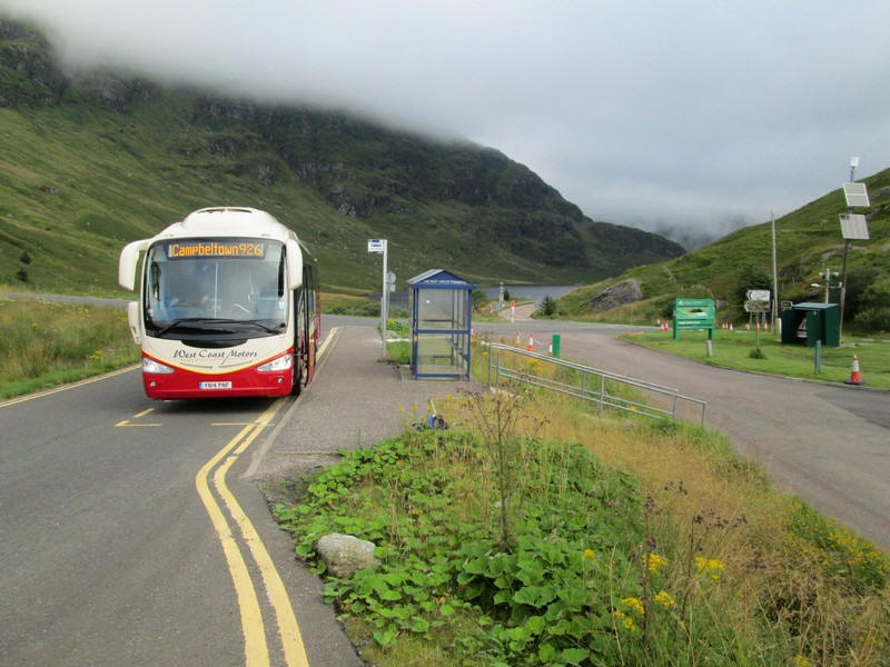
It was a very early start from Glasgow on the 06:15 bus to Campbeltown seen here at Rest and Be Thankful at a quarter to eight.
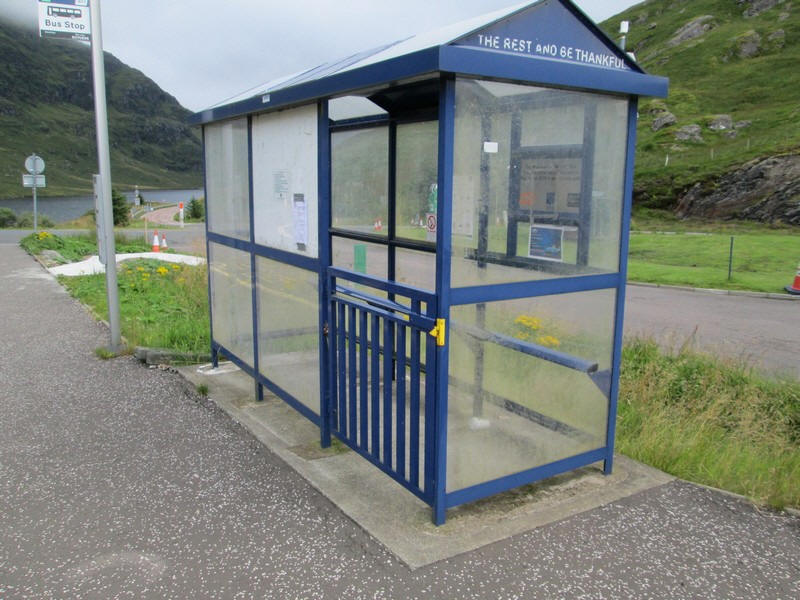
Is this the only bus shelter in Britain to have a gate to keep out the animals?
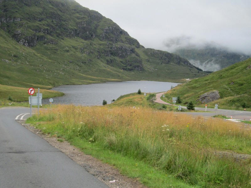
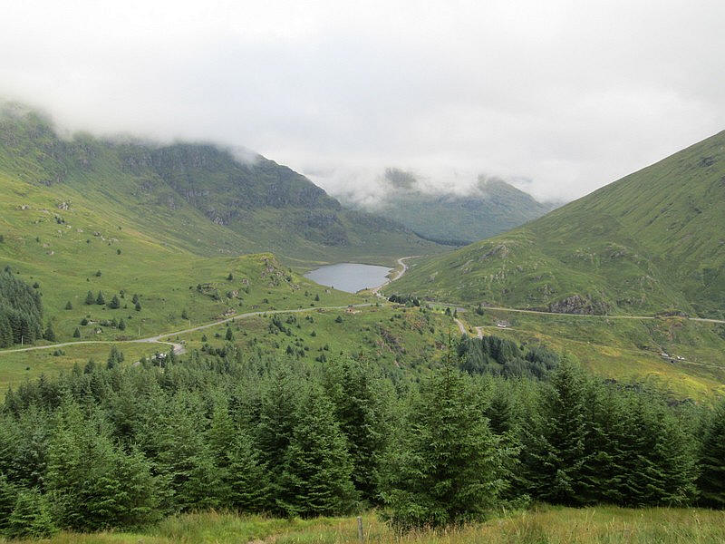
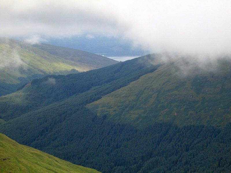
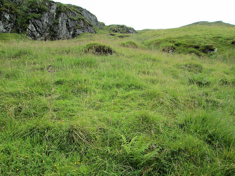
Looking north towards Loch Restil with the cliffs of Beinn an Lochain towering above the water.
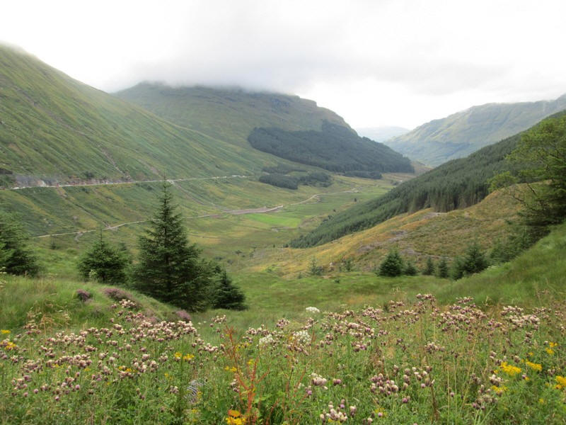
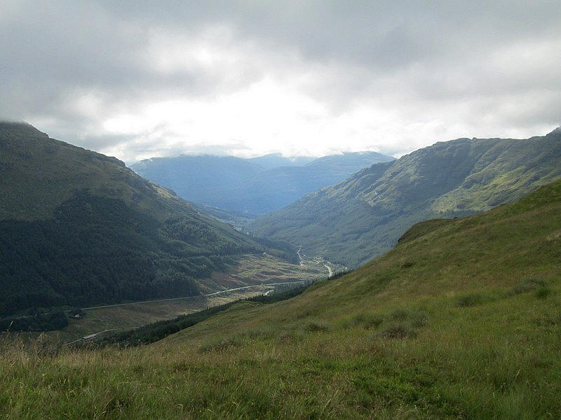
In the opposite direction the A83 and the old military road can be seen in Glen Croe. The old road had been pressed into use the week before because of concerns that there might have been another severe earth slide down onto the A83.
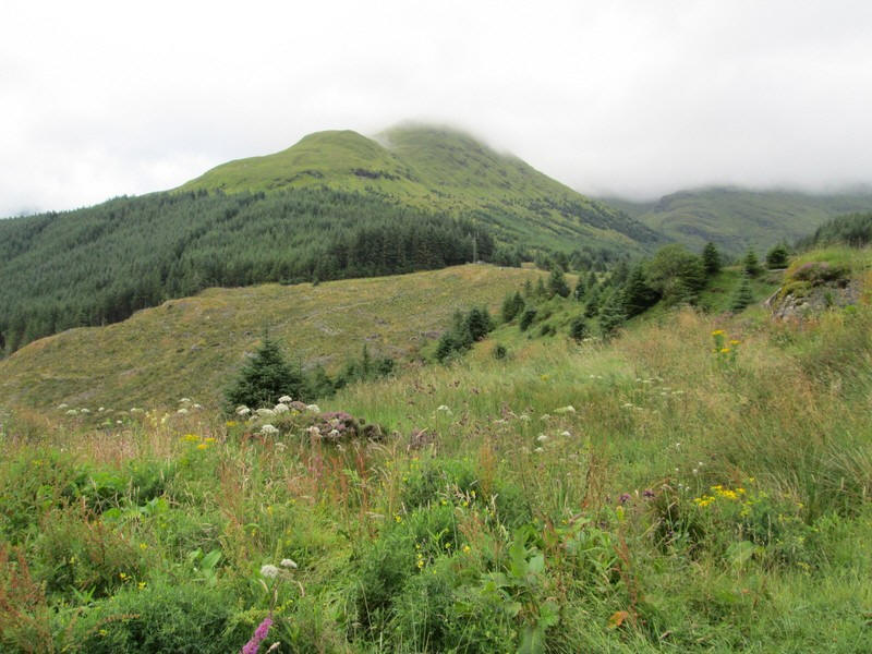
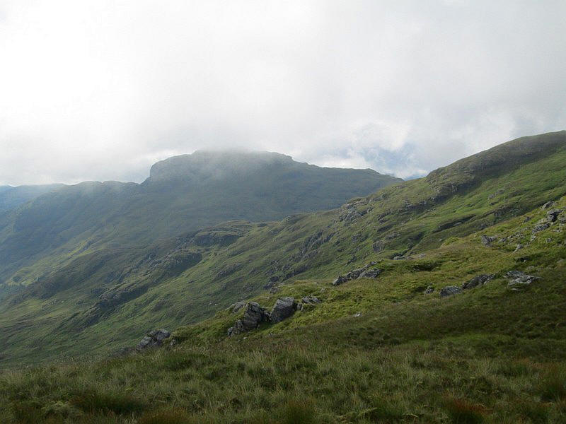
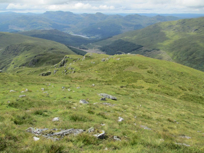
My objective for the morning was Ben Donich with its summit hidden by cloud.
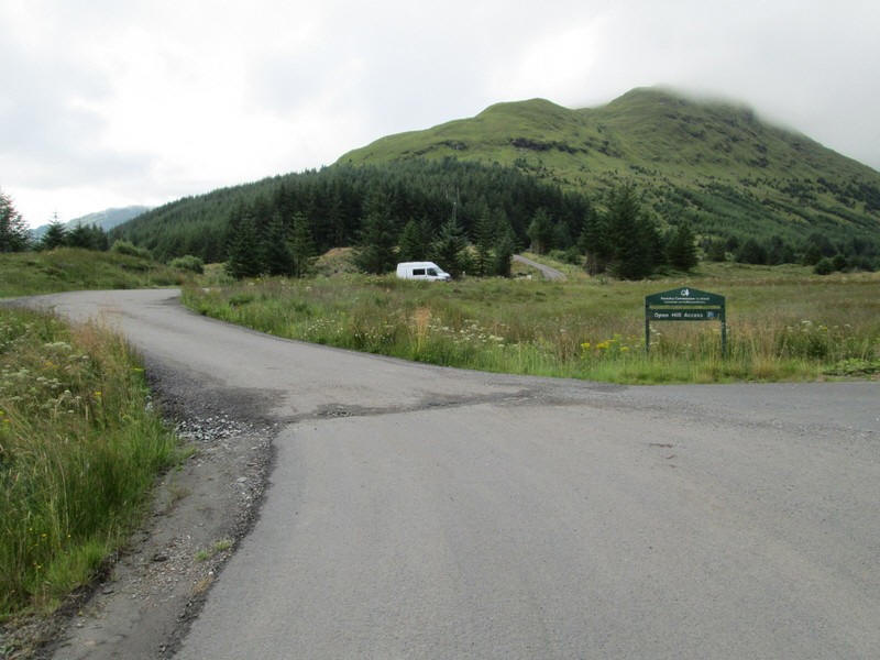
The hill walk starts just off the B828 Lochgoilhead road along a forest drive....
...and is clearly signposted for walkers to Ben Donich.
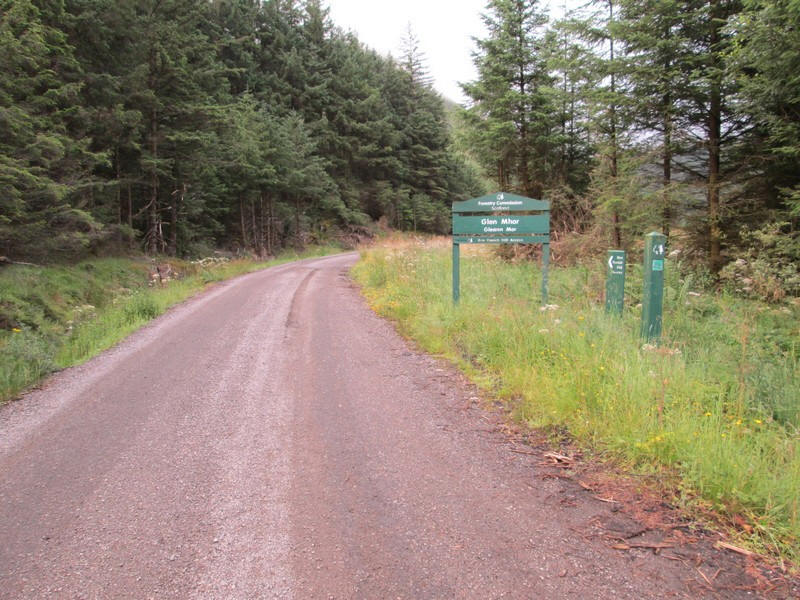
The hill track leaves the forest road...
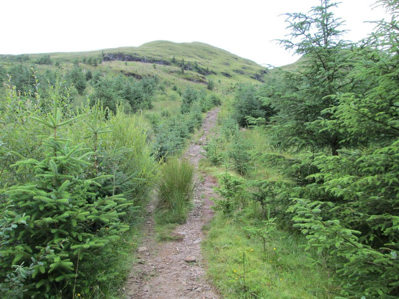
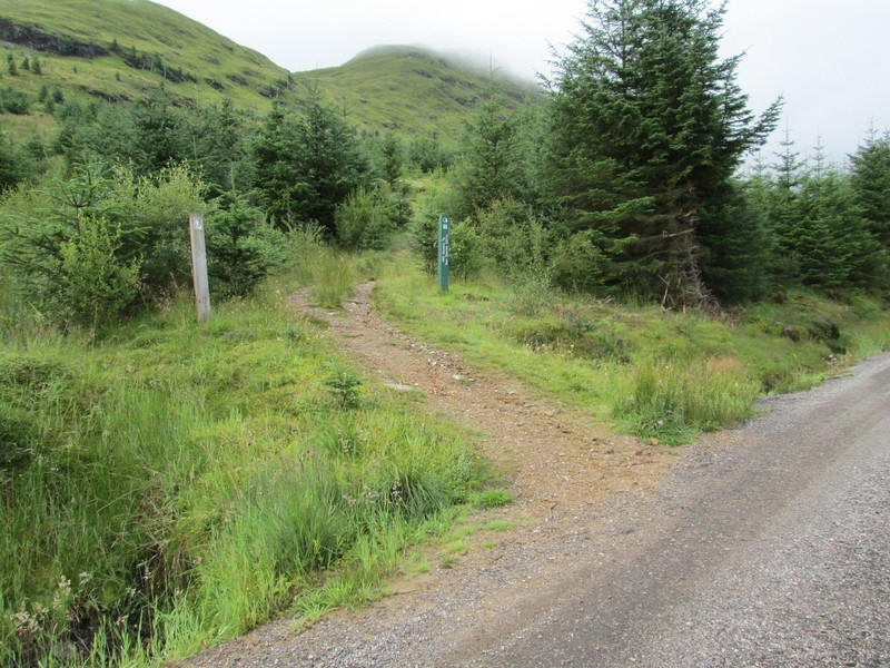
...and is initially very broad through recently planted trees.
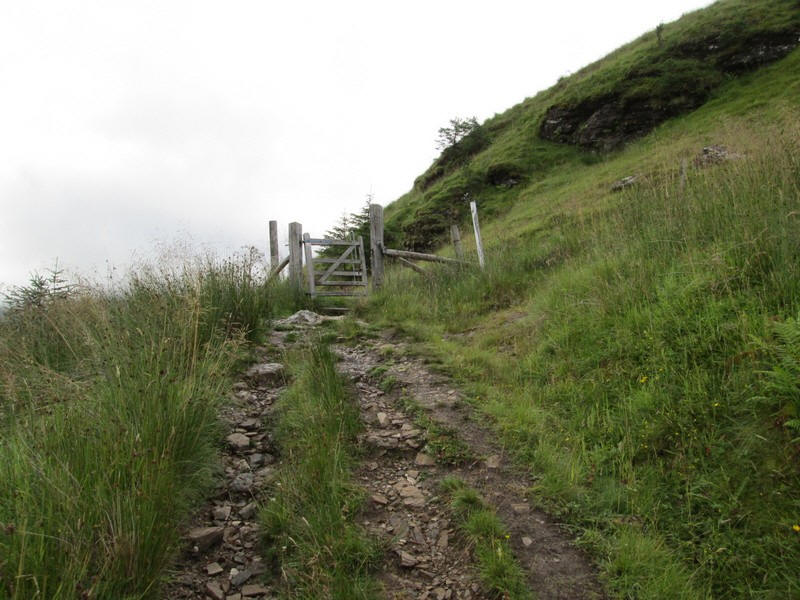
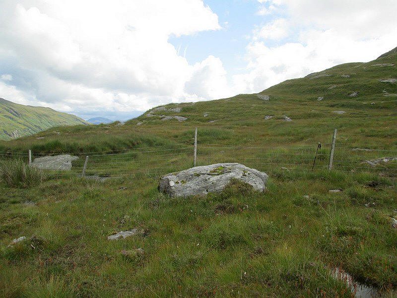
It soon reaches a gate leading onto the hillside.
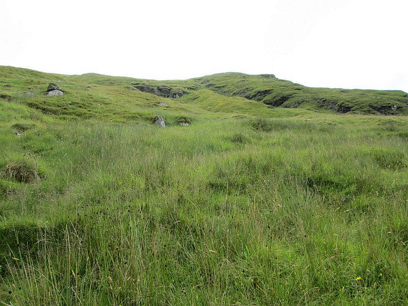
Looking back to the Rest and Be Thankful and Loch Restil.
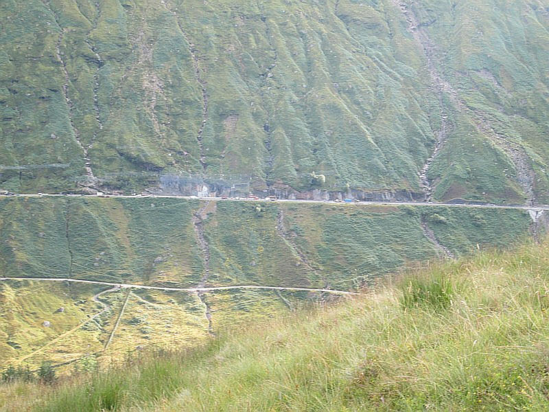
Across Glen Croe the engineering works needed to try and keep the A83 open can be seen. The hillside has been cleared of vegetation and a catch pit has been blasted out of the rock into which any landslides will fall. A high concrete wall along the roadside protects the road itself.
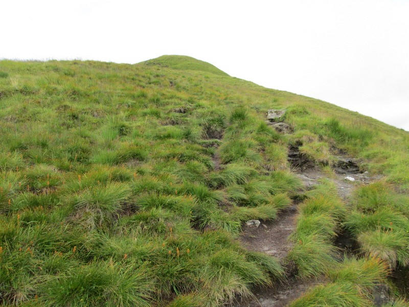
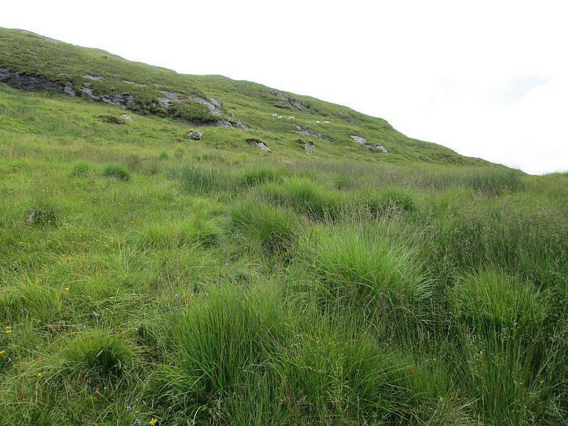
The nature of the climb is quite varied....
....with a lot of minor rocky sections and quite steep in places.
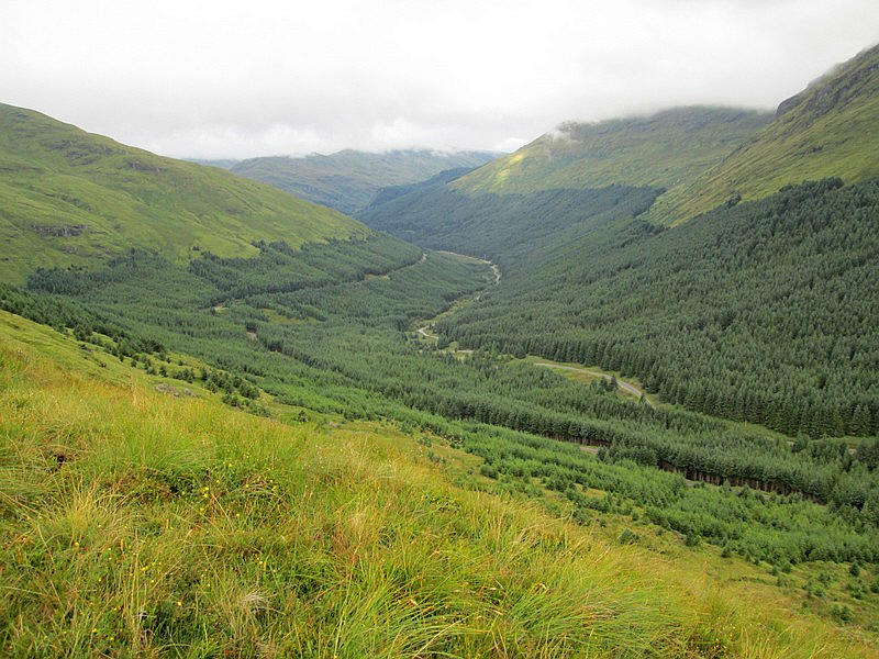
Looking down Gleann Mor towards Lochgoilhead.
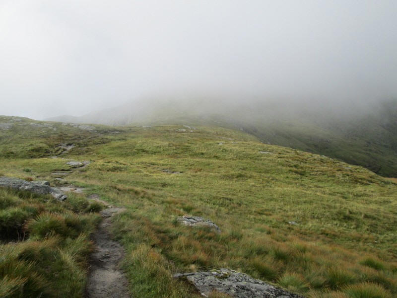
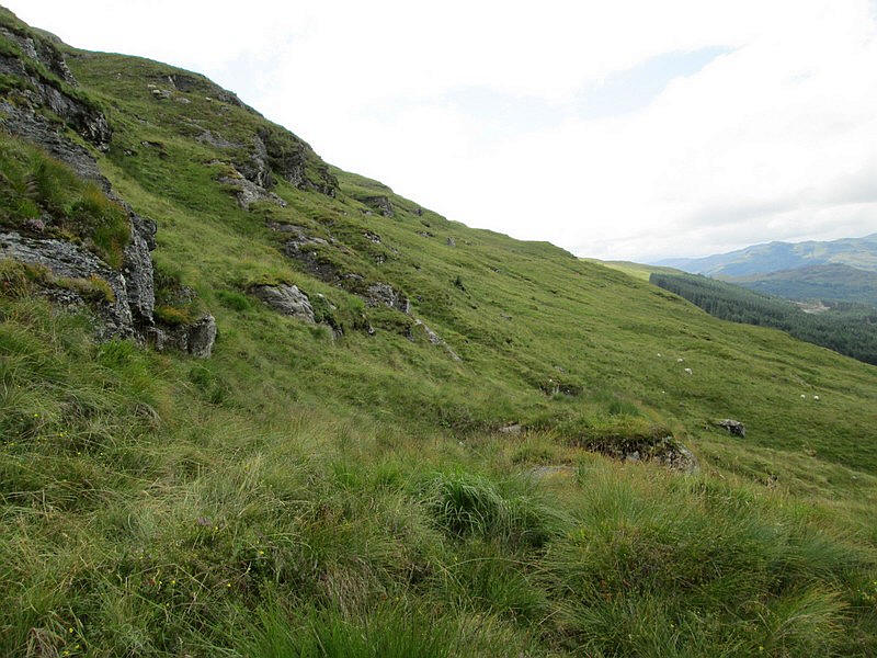
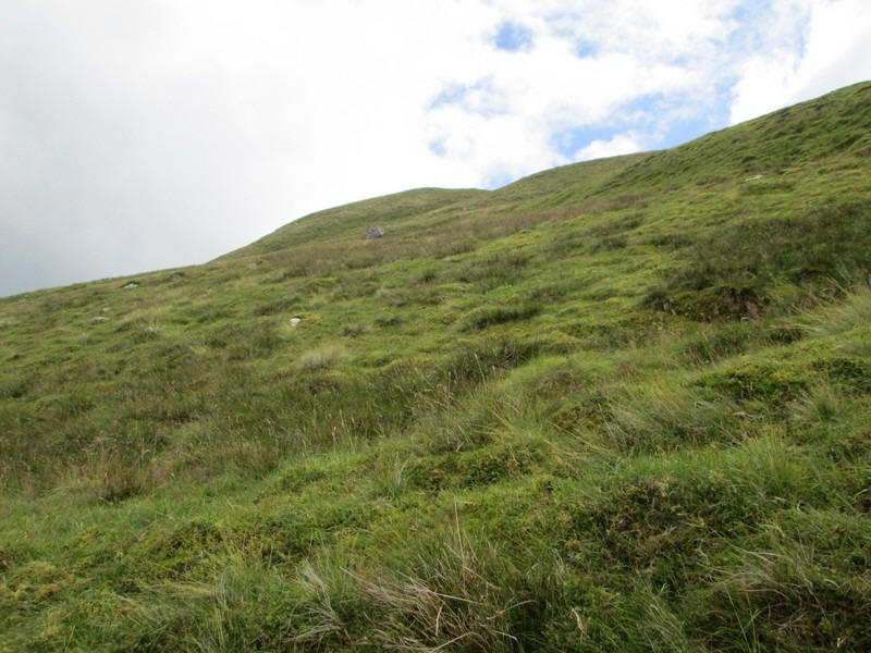
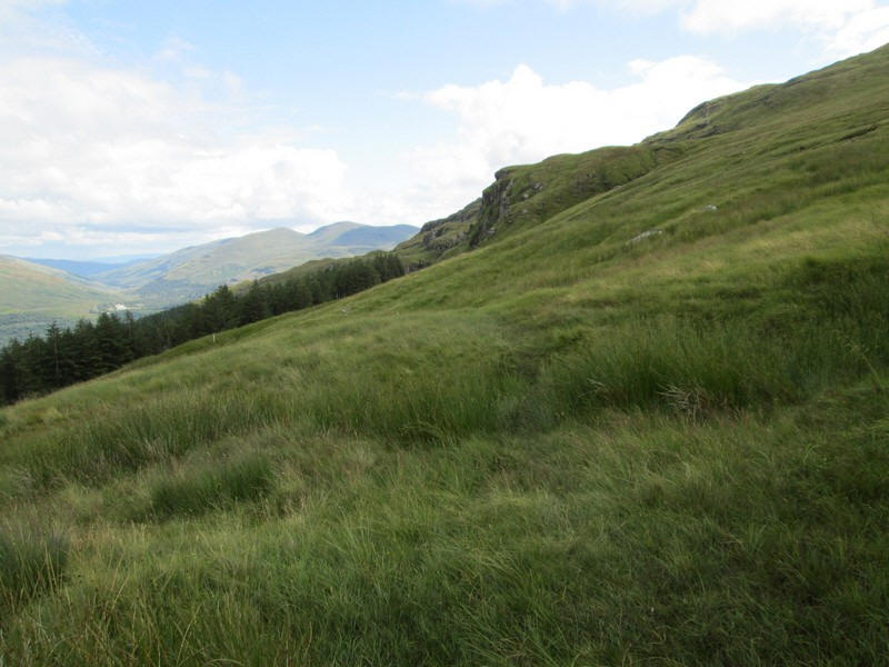
There's a slackening of the gradient
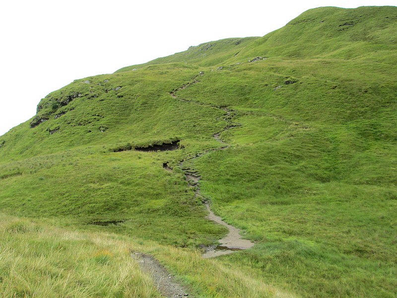
....followed by an enjoyable zigzagging section.
Looking back down Glen Croe towards Arrochar.
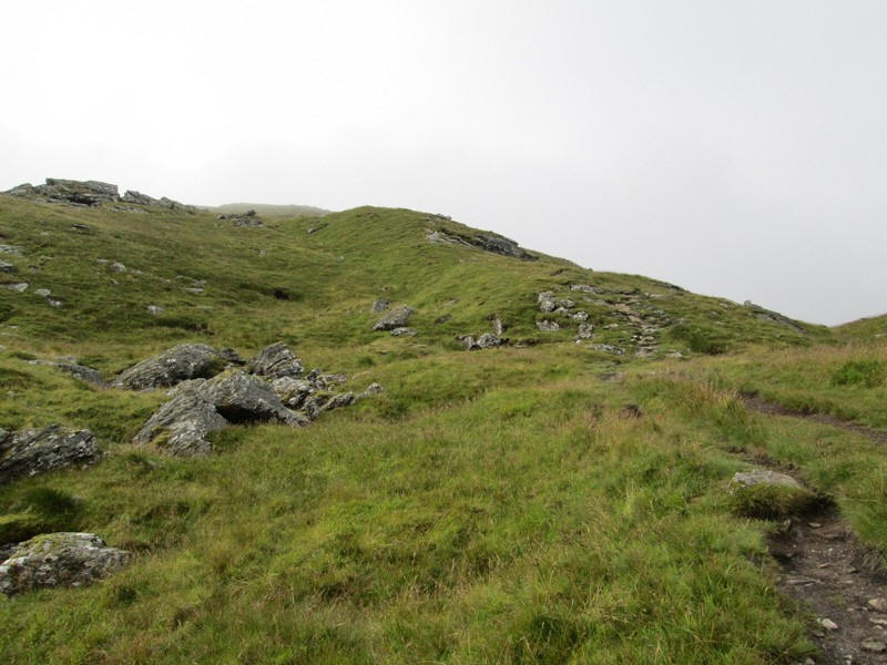
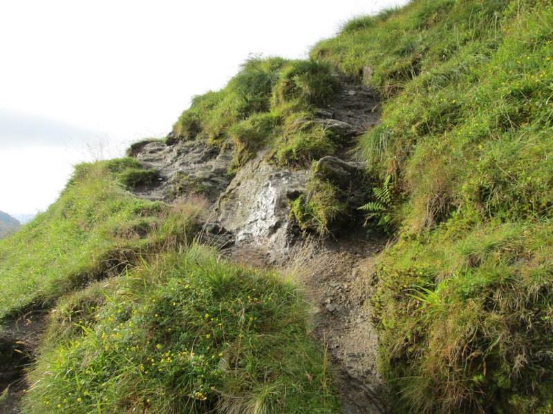
The hillside further on is littered with boulders and .....
....several sections of rocky slabs to climb.
There's a glimpse of Loch Fyne across Gleann Mor.
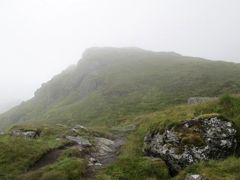
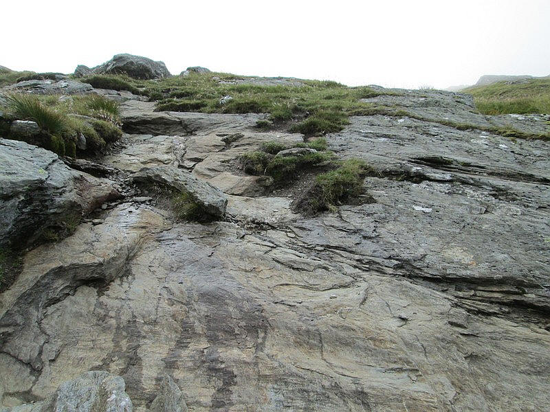
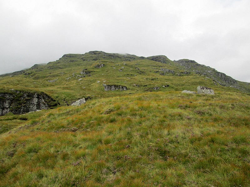
The climb reaches this small crag near the spot height at 660m....
....with the dip beyond marked on the map as Coire Culach where the path drops slightly for a short distance.
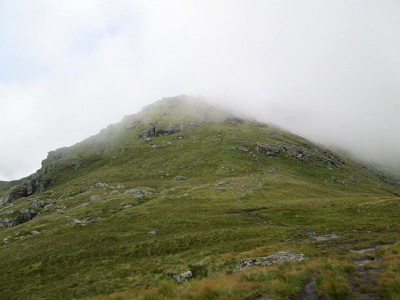
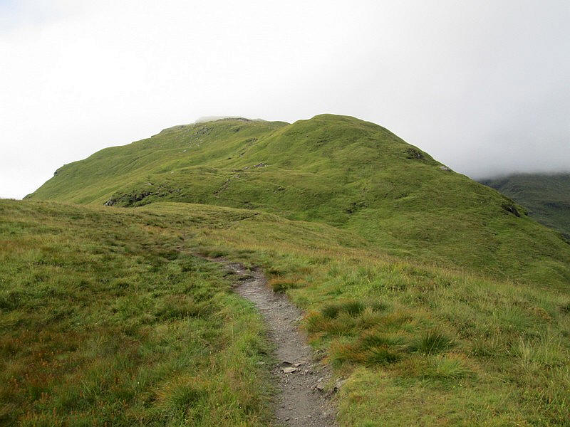
Once past Coire Culach the climbing starts again and I get....
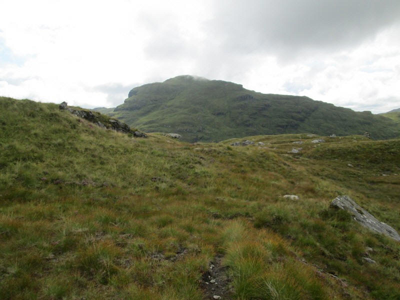
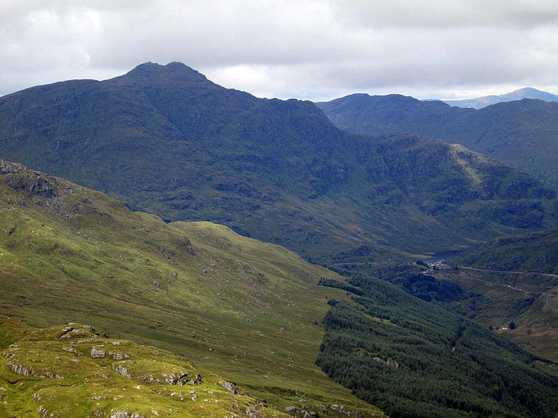
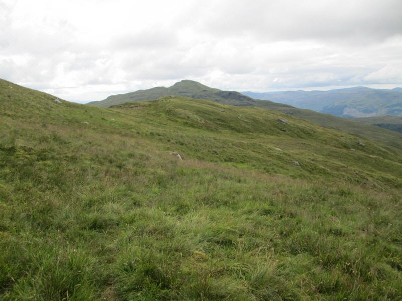
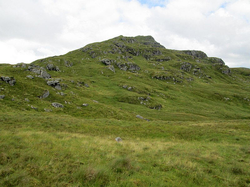
...the first view of the day's second hill, The Brack.
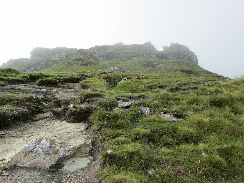
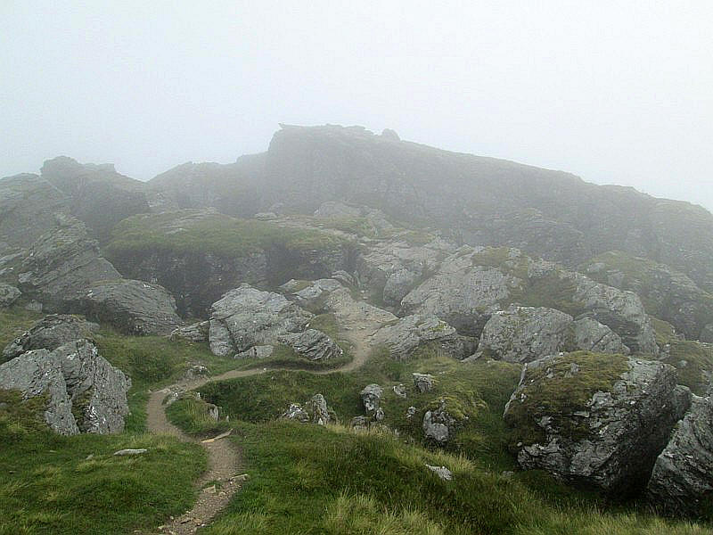
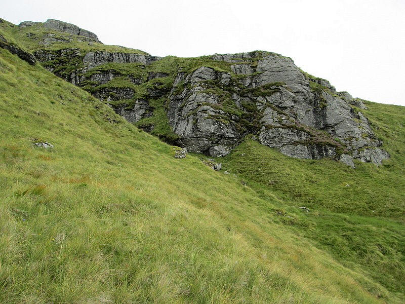
This interesting looking rock formation preceeds to the main excitement of the walk up Ben Donich.
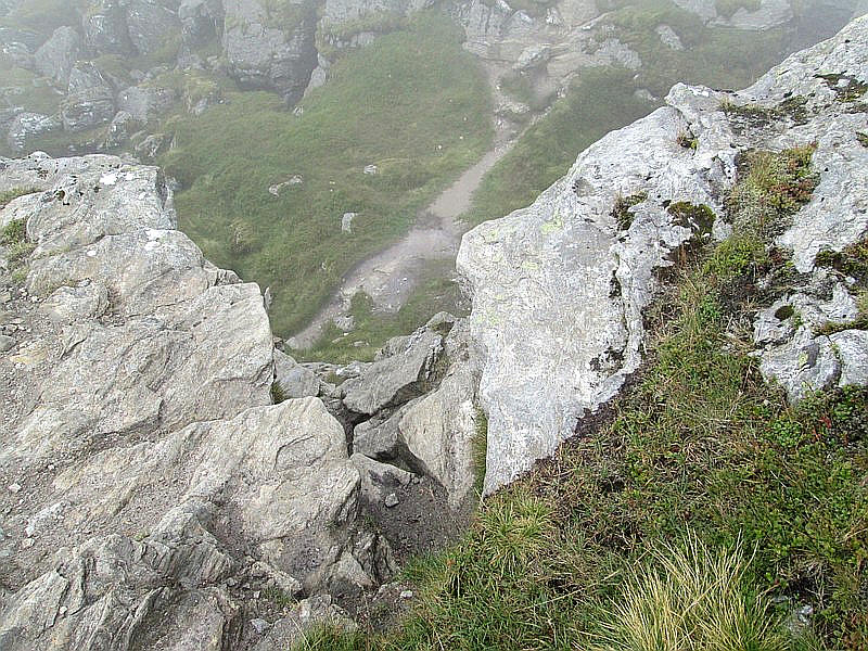
The path leads straight to this drop down a rock outcrop into a deep cleft across the ridge. It's not too difficult as there are plenty of foot and hand holds but I threw my trekking poles down the twenty or so feet and then half way down realised that I would be safer without my rucksack on and dropped that down as well.
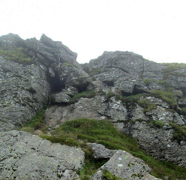
Looking back from the bottom of cleft whilst....
....on the other side there are more rocks to climb up.
With the excitement over it's a gentle stroll across...
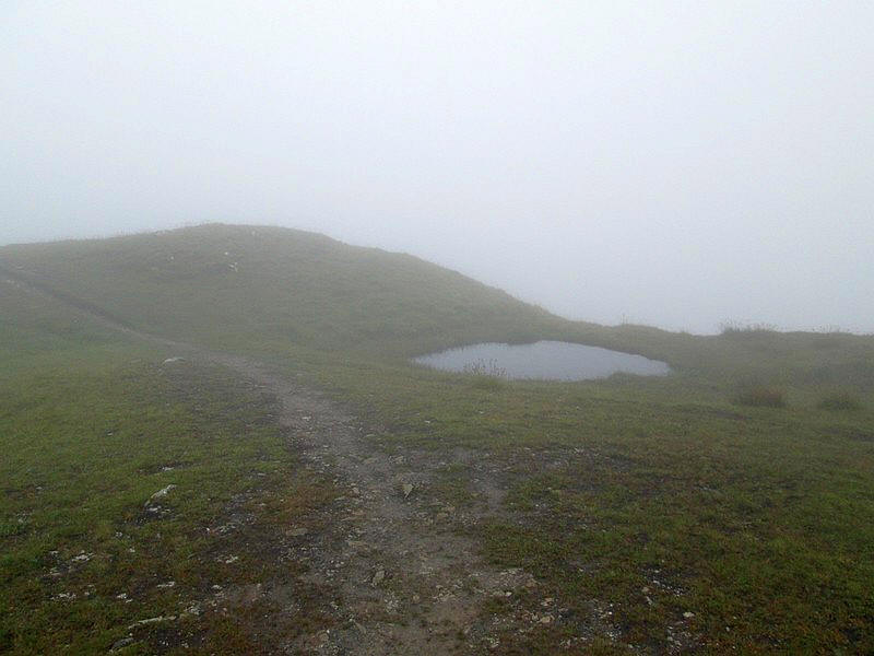
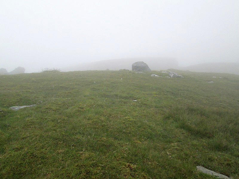
...the summit plateau past a small lochan..
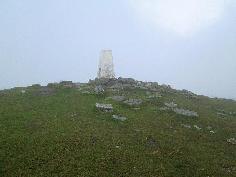
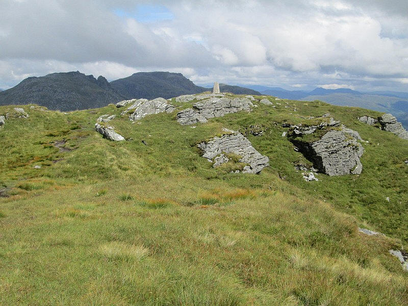
....before reaching the triangulation point. It had taken me two hours to get to the summit of Ben Donich (847m) , a little longer than expected as I'd had a slightly problem with a toe that need attention!
Obviously, there were no views so after a brief chat with the only walker I saw all day I set off towards The Brack.
After retracing my steps for a short distance to NN22060 04420 I headed off eastwards across the trackless hillside towards Bealach Dubh-lic.
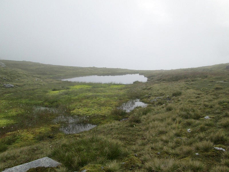
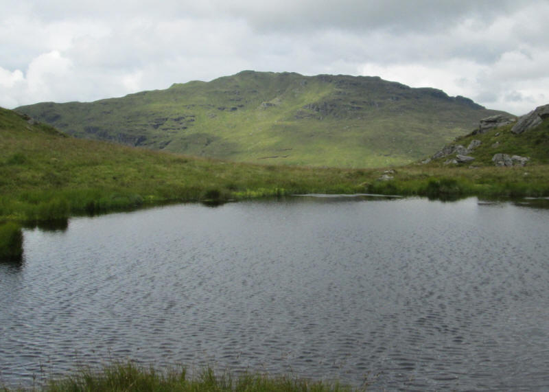
There's another small lochan that's marked on the map ....
...but it's then a case of finding the way down the hill (about 400m of descent and 2km distance) to the bealach.
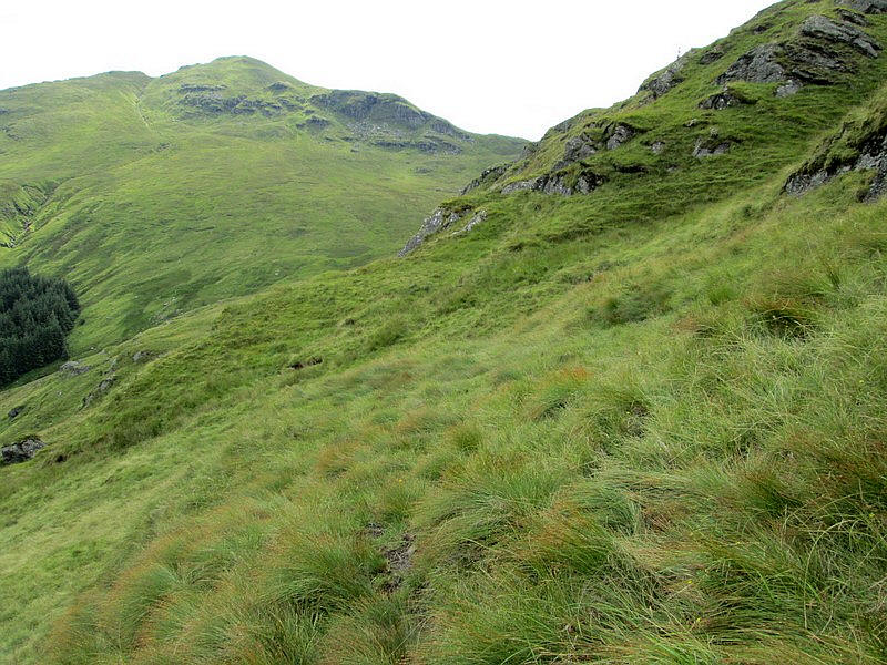
It is rough ground, in places quite steep...
.....and with a lot of small crags to avoid and work around.
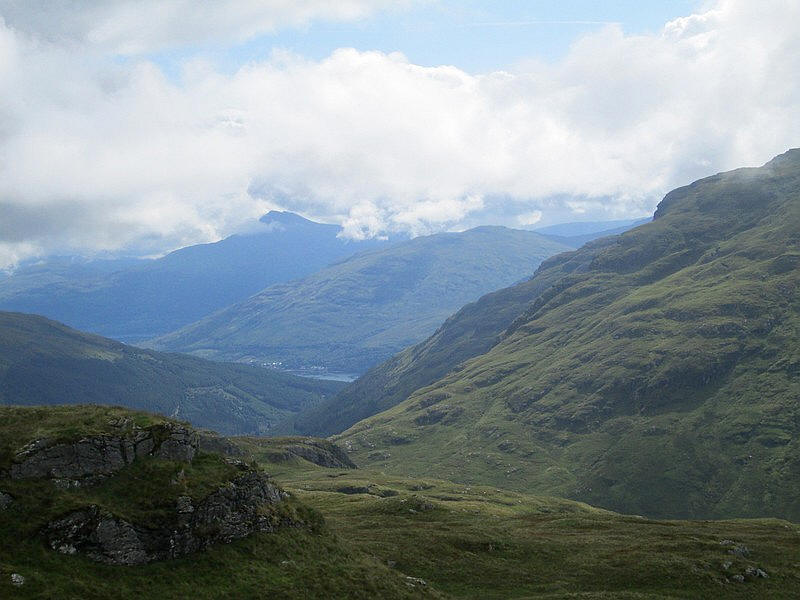
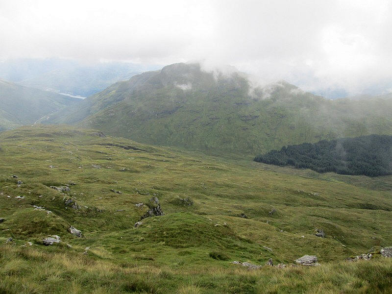
The views were improving and in this photo the head of Loch Long at Arrochar can be seen with Ben Lomond beyond.
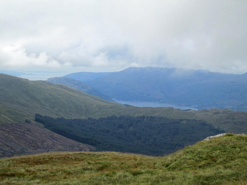
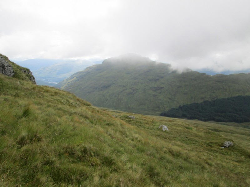
....whilst to the south west is Loch Goil and the Firth of Clyde.
Beyond these outcrops the Cobbler still has a cap of cloud on it.
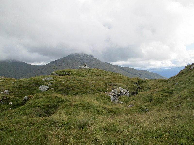
There is a small but well built cairn on a large rock near the 575m spot height. Quite why it is there I have no idea as there were no obvious paths nearby.
A glance back northwards shows the Rest and Be Thankful and Loch Reskil.
Suddenly I stumble across a short section of a track but whether it's made by animals or humans isn't clear. Needless to say it soon disappears.
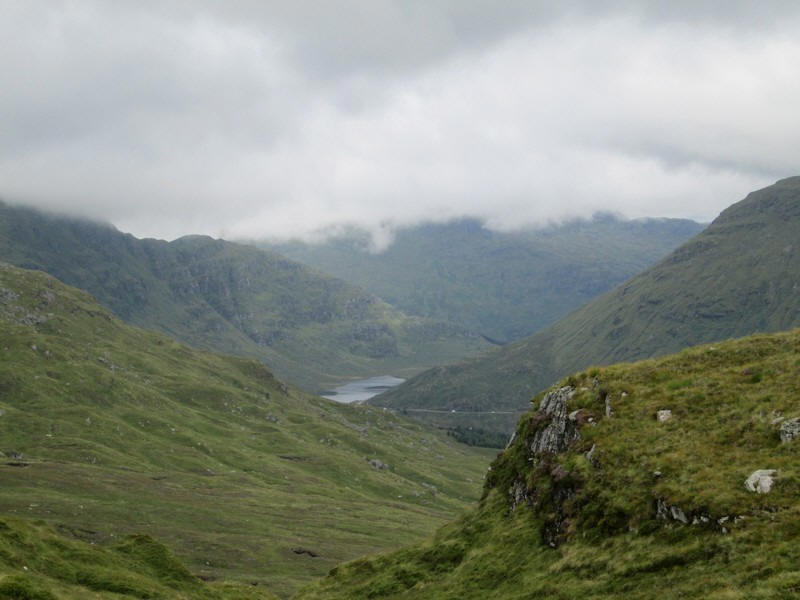
Eventually about 90 minutes from the summit of Ben Donich I arrive at Bealach Dubh-lic. The photo is looking back the way I've come down.
There's a low fence to cross but at one section the top wire has been pulled lower so this is obviously the place walkers are supposed to cross. Whilst I have a banana to give me some energy I ponder which approach to take up The Brack and decide not to go straight up the north west ridge which has a lot of crags on it.
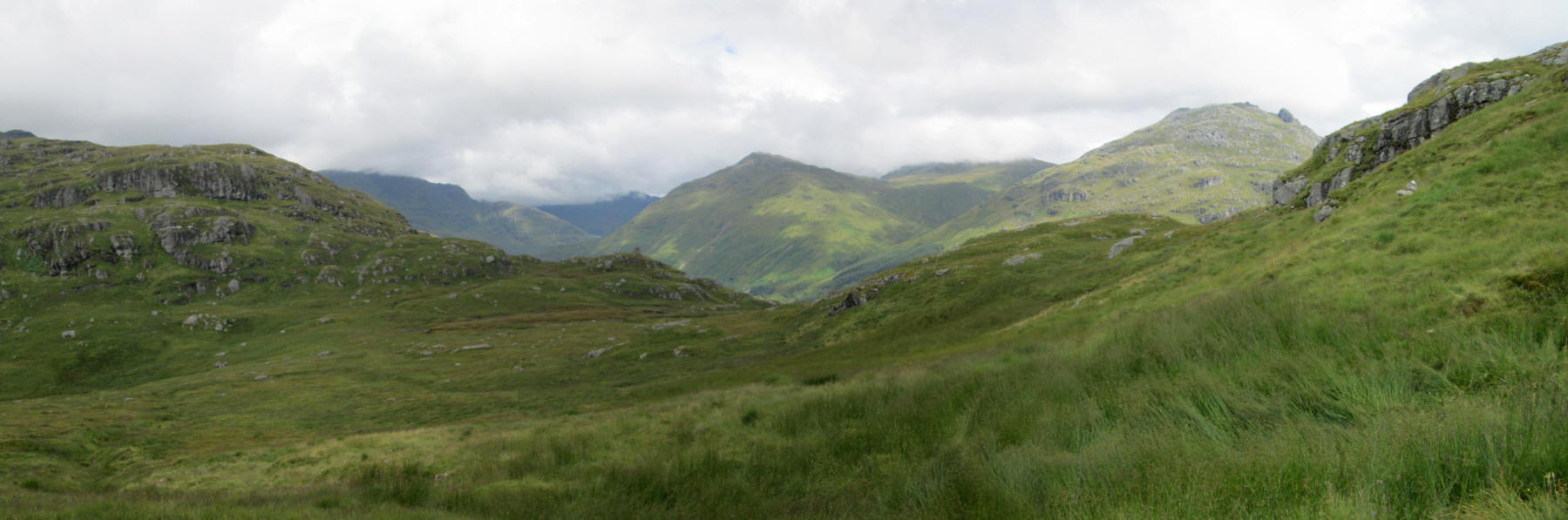
This panorama photo is looking across the bealach towards Glen Crowe with the distinctive rock formation on the Cobbler now visible.
Click on the photo and then click again to enlarge fully.
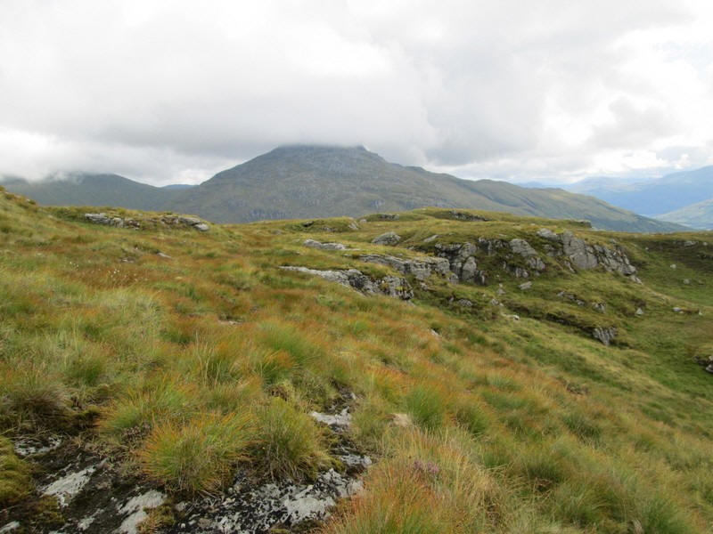
Initially I headed more or less due south gradually climbing uphill to about 540m contour. Lower down it's a bit wet but soon dries up ...
...and for a short while I find a faint track to follow below some crags.
Once beyond these I turned towards the south east and started ....
...to climb up the steep grassy slopes keeping to the left of the gully on the right
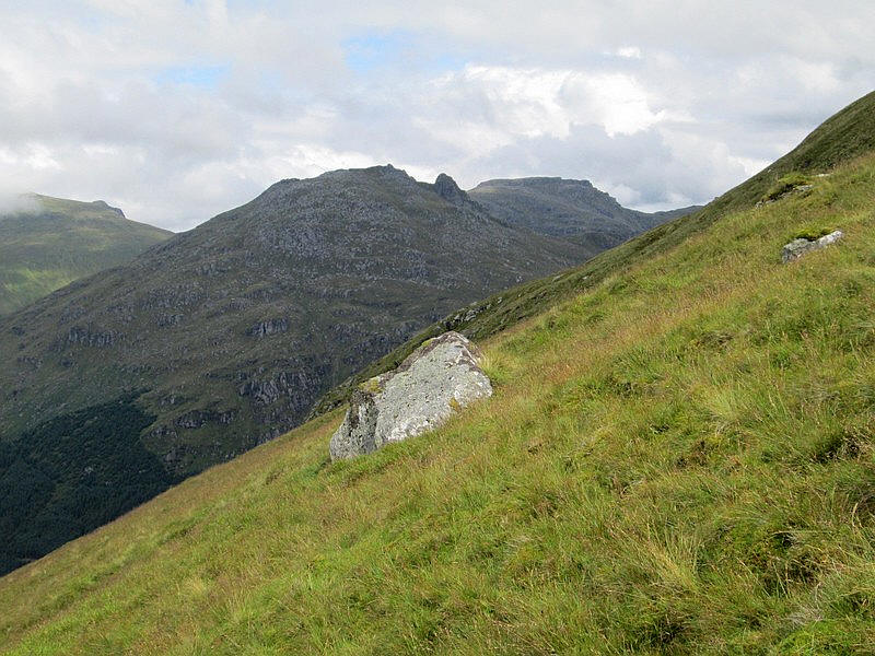
The climb is unrelentingly steep as can be seen in this image with the Cobbler and Beinn Narnain in the background.
It was simply a case of slogging uphill slowly and steadily stopping quite frequently to admire the view.........
Looking back towards Rest and Be Thankful with Beinn an Lochain now clear of cloud.
At last the summit of The Brack (787m) was reached. It had taken nearly an hour and a half from the bealach much longer than the hour I had expected.
However, the difficulty of the climb was soon forgotten with the superb views. Beyond the summit are the Cobbler and Ben Naranain.
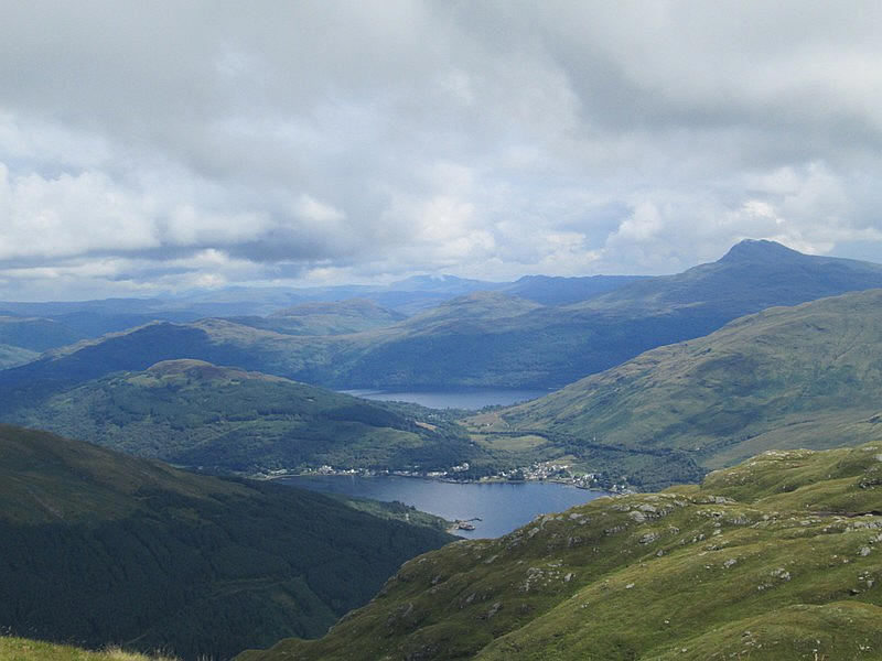
Arrochar at the head of Loch Long with Loch Lomond beyond and Ben Lomond.
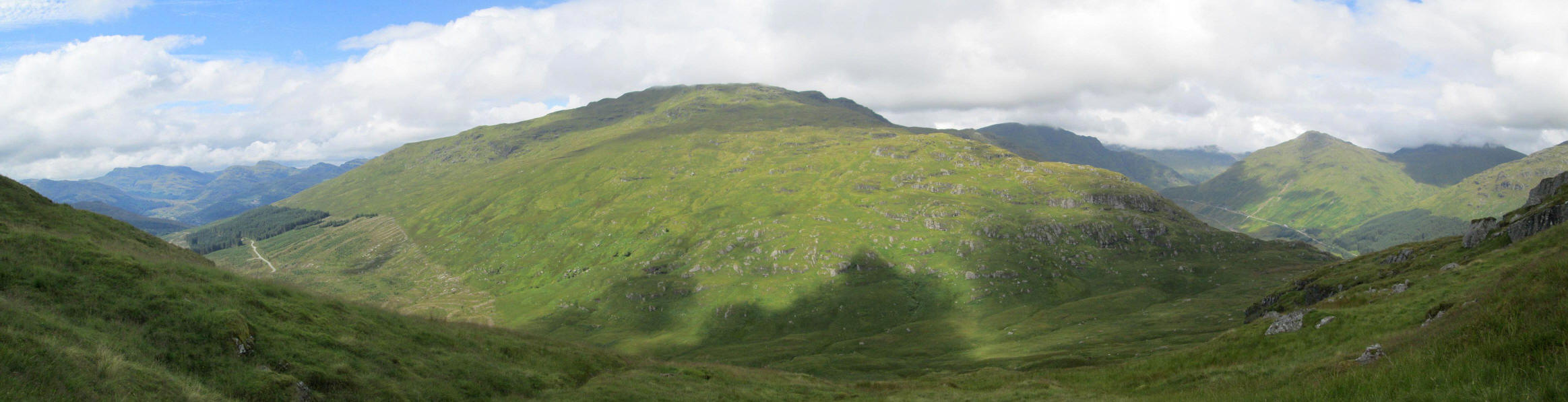
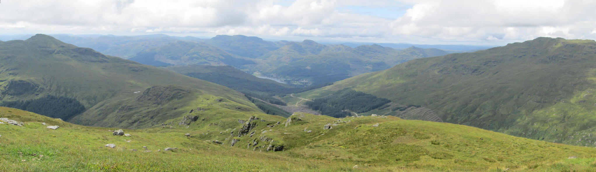
Ben Donich panoramic image.
Click on the photo and then right click again to enlarge fully.
Looking down The Brack's southern ridge with Cnoc Coinnich on the left, and Loch Goil in the centre.
Click on the photo and then right click again to enlarge fully.
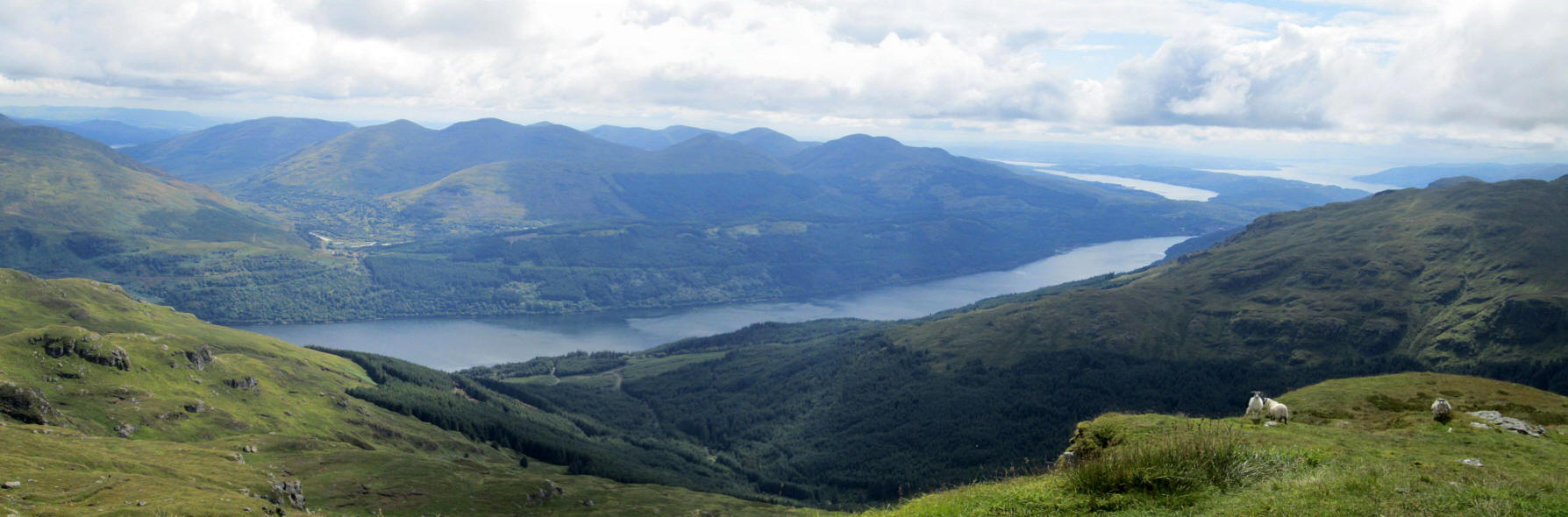
Loch Long, the Gare Loch and the Firth of Clyde beyond .
Click on the photo and then right click again to enlarge fully.
I had considered the possibility of also climbing the third Corbett in this area - Cnoc Coinnich - but as I needed to be back at Ardgartan by 1720 for the bus back to Glasgow I clearly would not have time (and almost certainly not the energy!) so that hill will have lot wait.
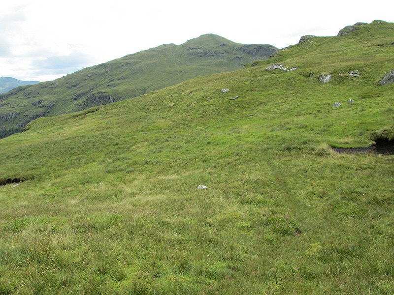
The walk back to Ardgartan was to be by the Coilessan Glen route so I set off down the ridge. For most of the way there is a faint path...
...although in some places it disappears.
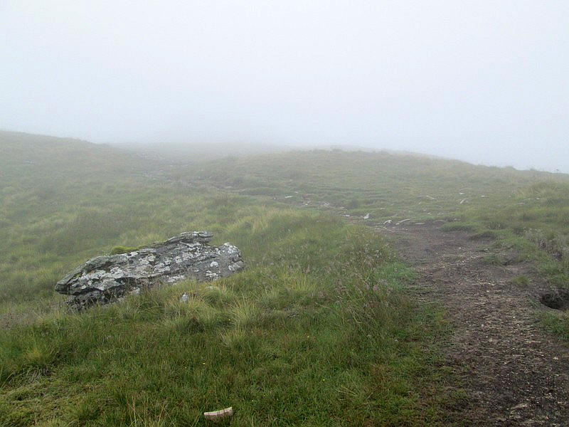
This is where I turned back on my previous attempt to climb The Brack.
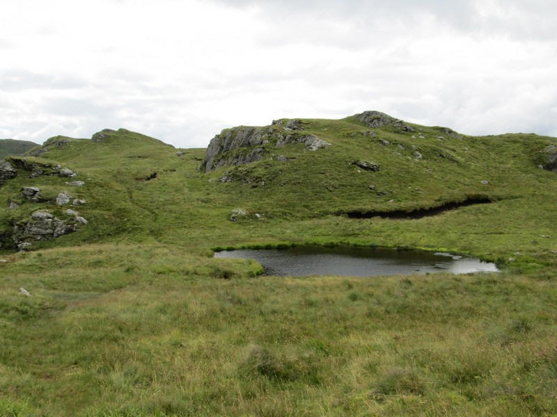
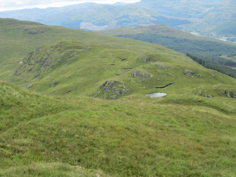
There's a small lochan about half way down the ridge...
.....although my attempt to get an "arty" image of Ben Donich wasn't quite as successful as I'd hoped.
On my previous attempt I'd climbed over the high point of the ridge (on the right) with its spot height of 578m but heading down hill there is a clear bypass path which...
.....skirts around under the crags.
Looking back to The Brack.
After hopping over a low fence I joined the Cowal Way ...
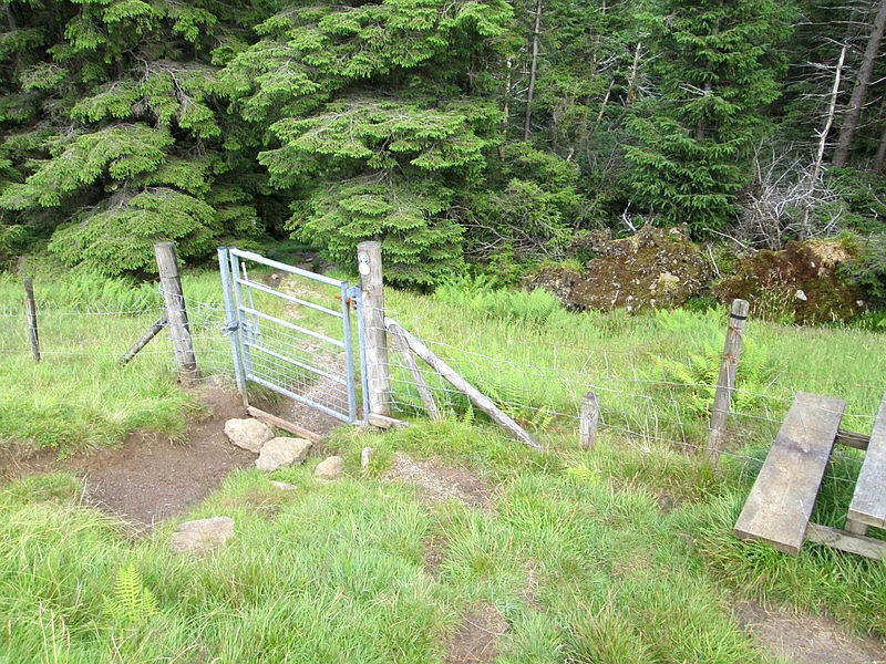
....which enters the forest at a stile and gate...
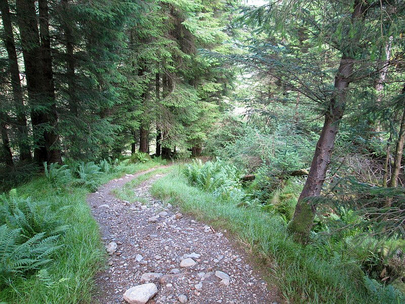
......before dropping steeply to join the ...
....forest road.
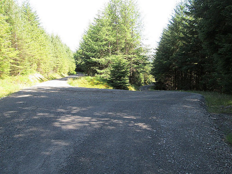
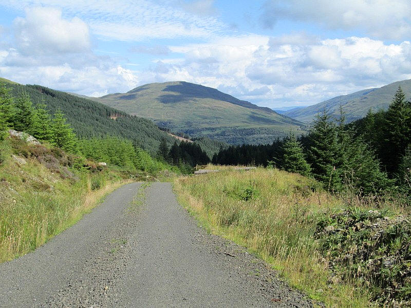
At a junction the main route is downhill....
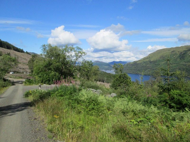
....and a couple of kilometres from the edge of the forest Loch Long comes into view and the beginning of the paved road back to the Ardgartan car park.
This is a pleasant and easy end to the walk. The walk had taken just under 9 hours. A tough but enjoyable day.