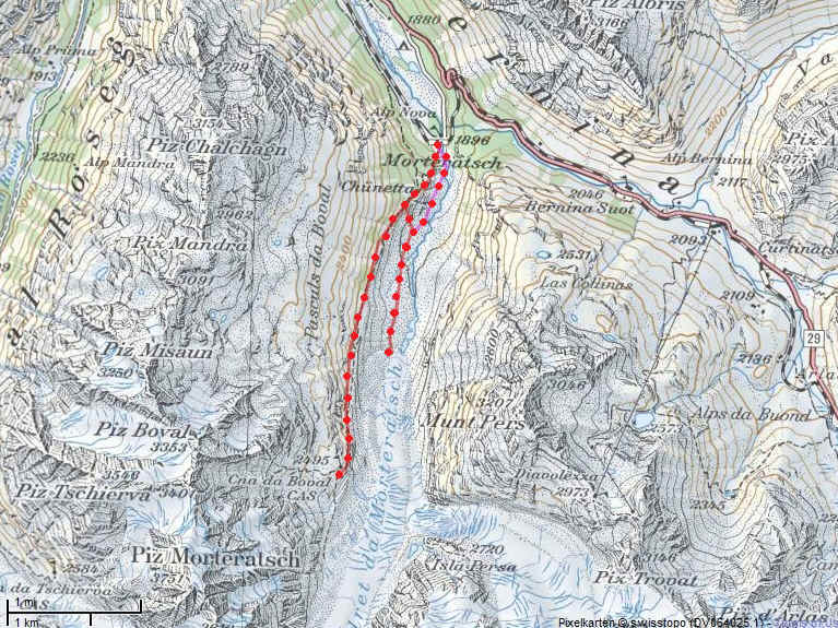
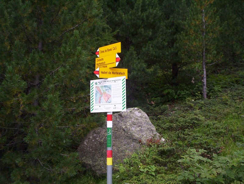
MORTERATSCH to CHNA DE BOVAL HUT
| This page is dedicated
to my father Geoffrey Rabone, who died on the day I completed this walk.
He introduced me to hill-walking as a boy and always showed an interest
in my later walking exploits.
21.06.1923 - 17.08.2010 |
This is one of the most interesting, and spectacular walks in the Upper Engadine area with superb views of glaciers both from high above them and also at valley level.
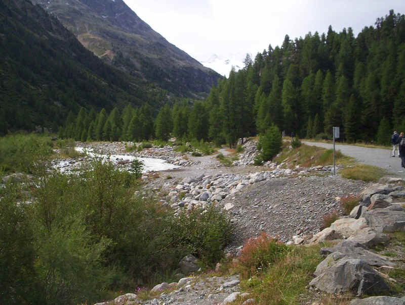
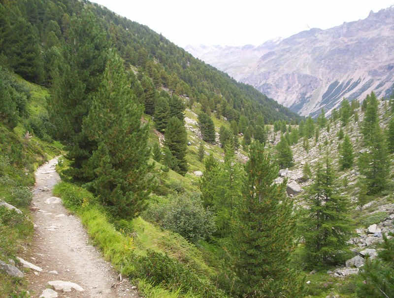
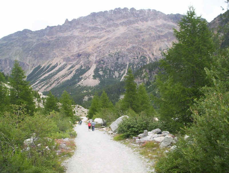
The walk leaves Morteratsch station along the valley track to the glacier but almost immediately turns off on a path....
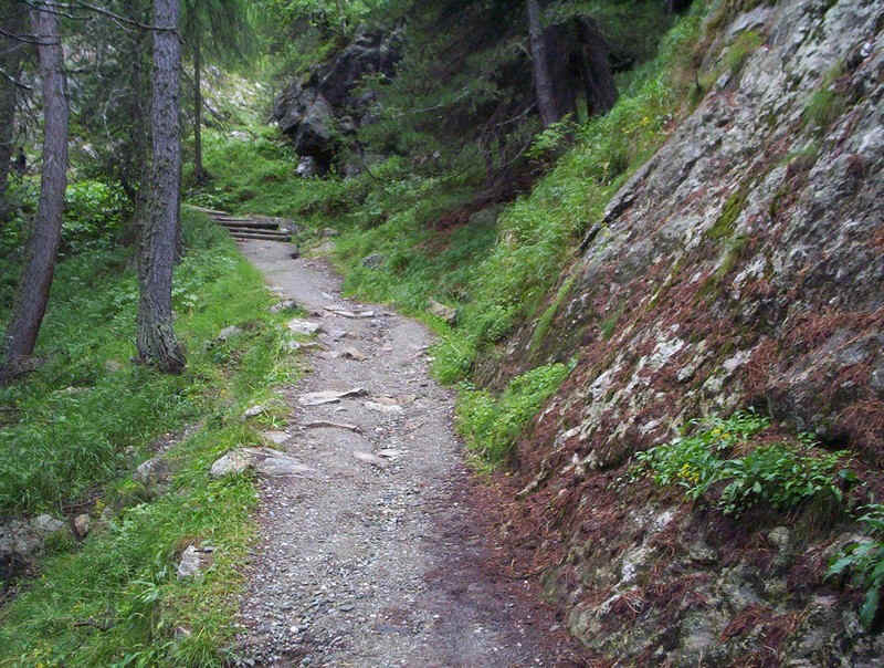
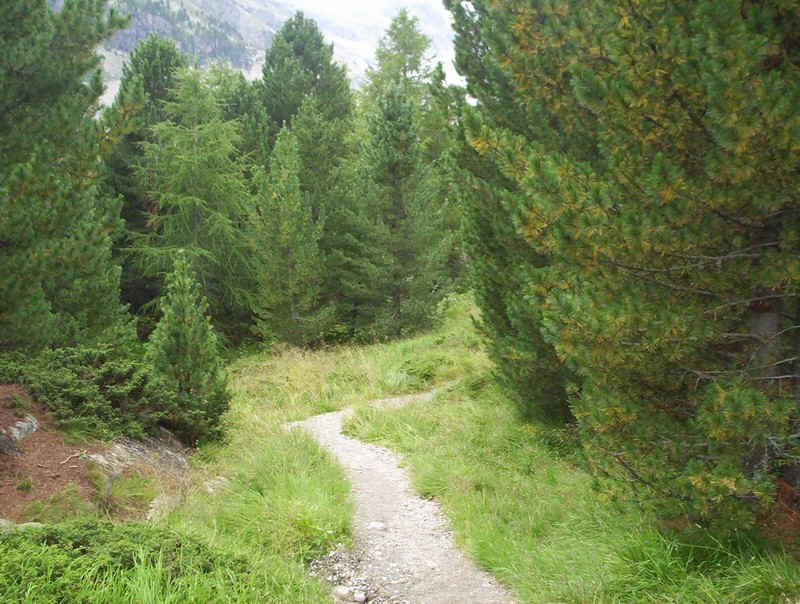
.....which leads into the forest gaining height quickly in a series of zigzags.
Looking back it can be seen that the path is already high above the valley floor.
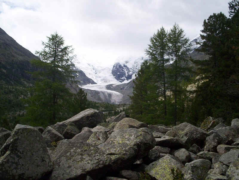
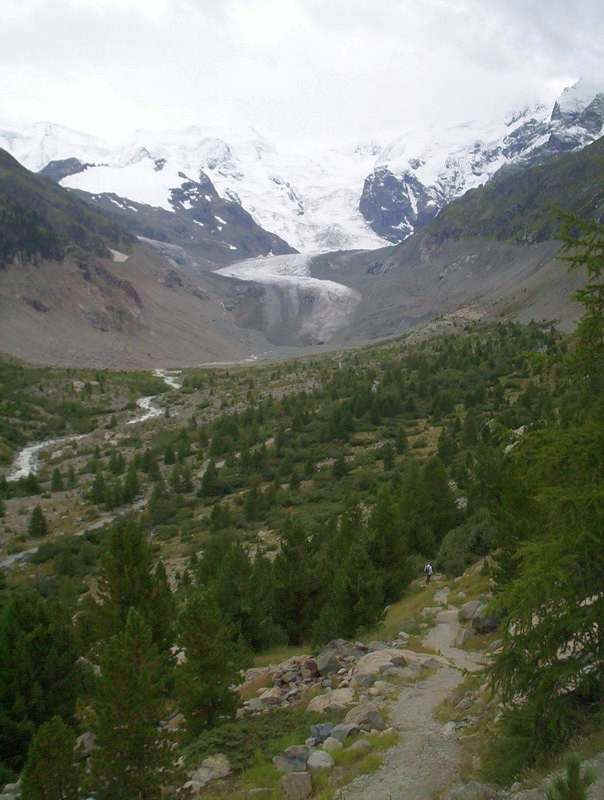
Soon the Morteratsch Gletscher comes into view.
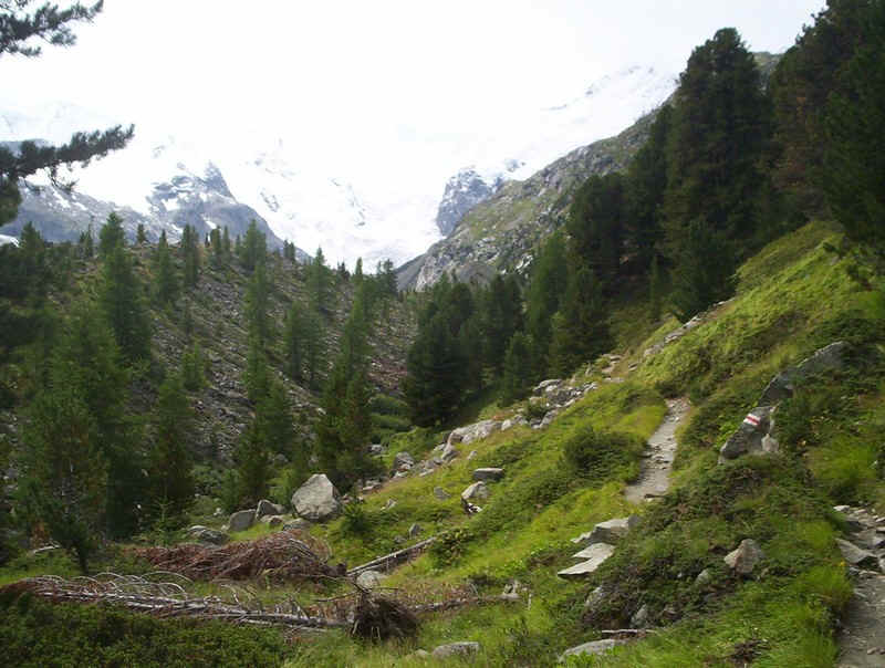
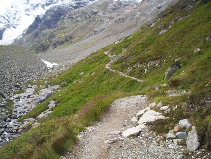
The path is a typical rough mountain one with
....increasingly spectacular views as height is gained.
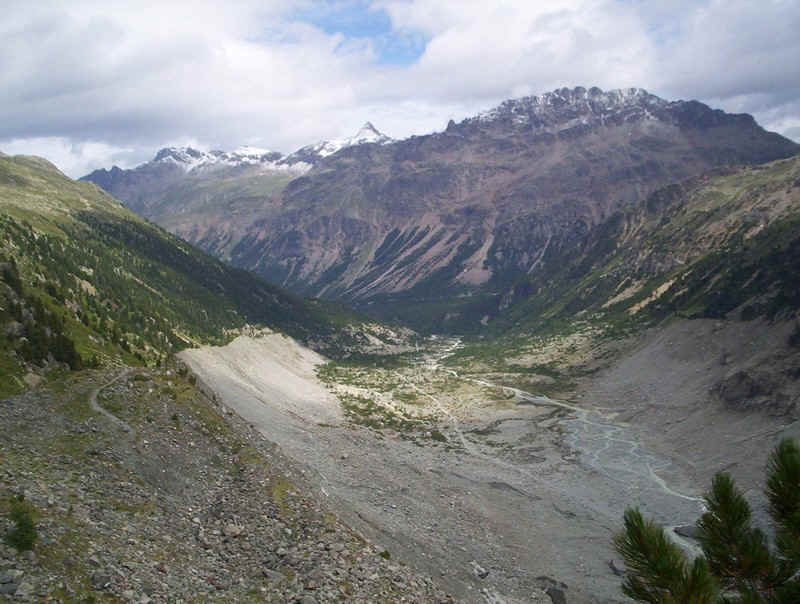
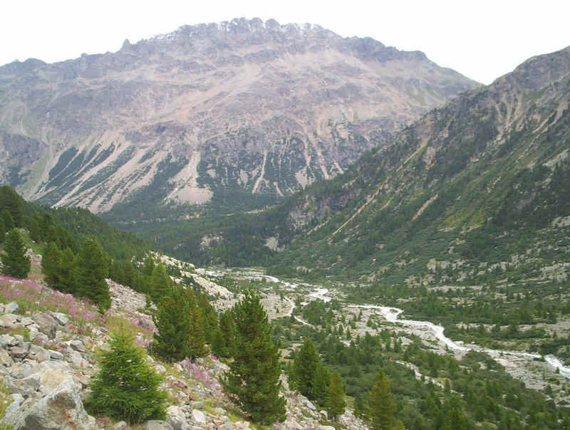
Looking back down the valley; it's less than 100 years since the glacier extended this far and one of the features of the walk is seeing how vegetation is slowly spreading across the valley floor.
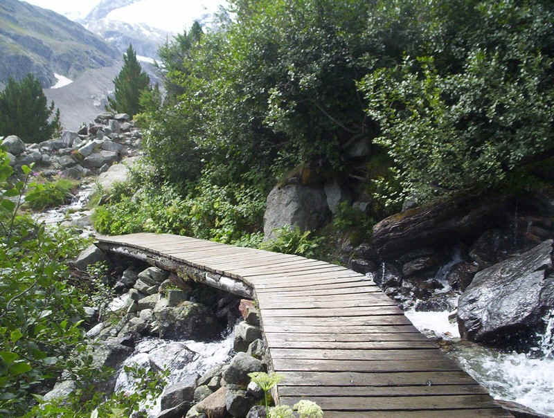
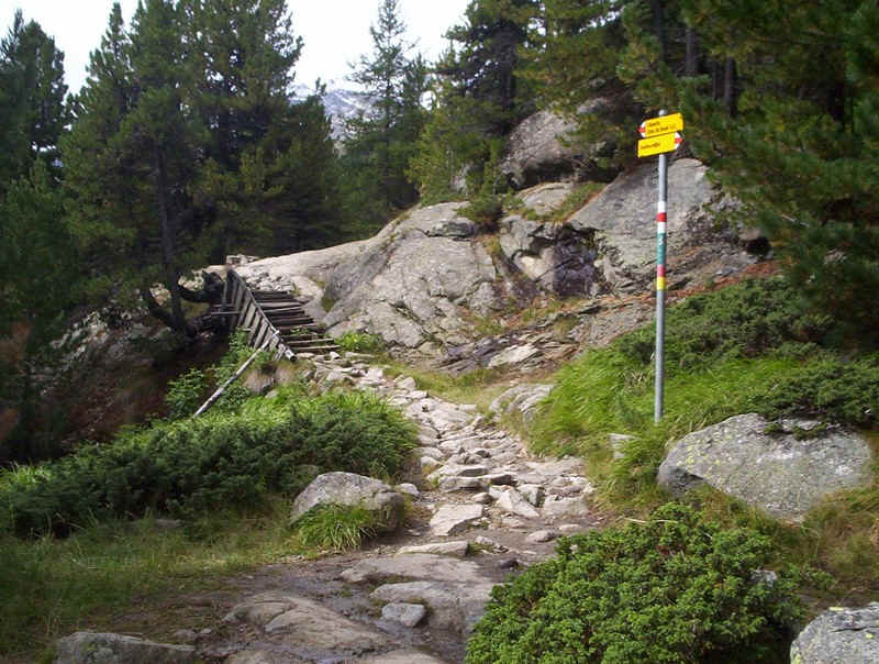
The path continues uphill with a few aids to cross streams......

.....and some smooth easy sections.
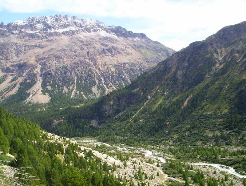
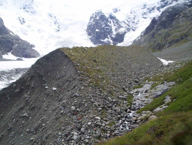
Further up the valley another sign of evidence of recent glaciation is seen in the lateral morrianes that line the valley side.
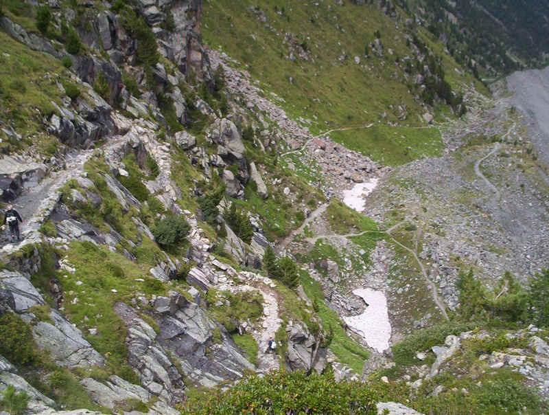
At one point the path drops down and then climbs to follow the crest of the morraine.....
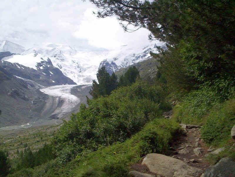
......giving a superb vantage point over the glacier.
It was somewhere about here, that I received a text message from my brother which read simply, "Dad died peacefully in his sleep this morning."
A few moments thought, and I decided to carry on; I'm sure that's what he would have wanted.
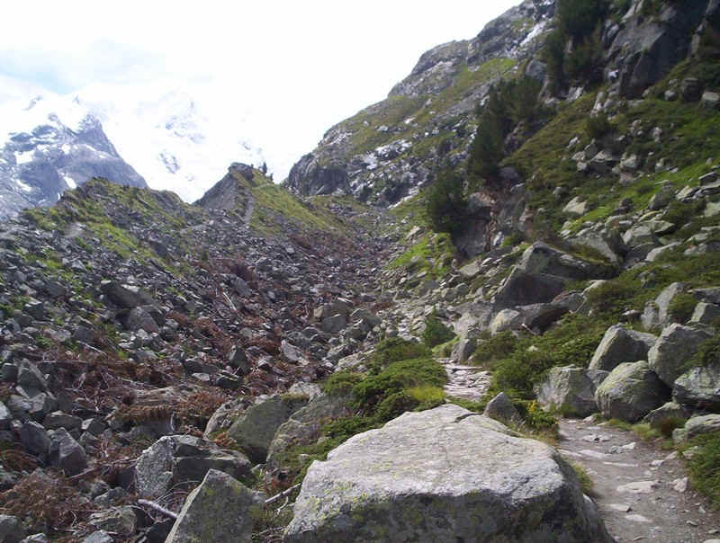
Here the track can be seen following the morraine.
There is then a section where the path returns to the mountainside....
......and clings to the rocky slopes.
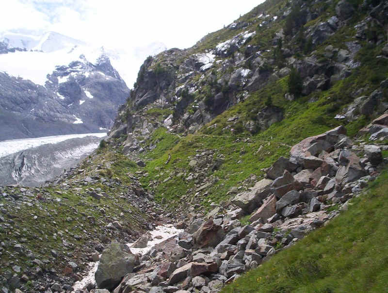
Looking back the action of the recent glaciation is obvious. It's interesting how vegetation is better developed on the right side of the valley, facing west, rather than the east.
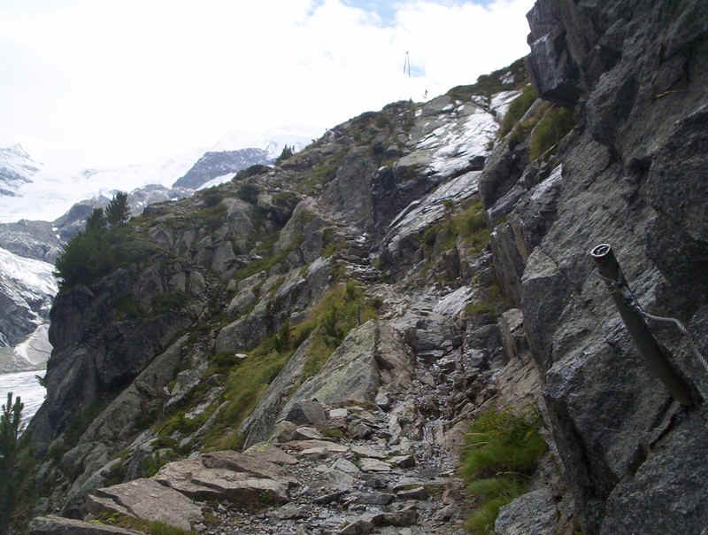
As the path climbs sections become more "interesting" with sections on rocky ledges, including some protected with a steel cable.
The dramatic view looking back down the zigzags of the path as it climbs steeply up the valley side.
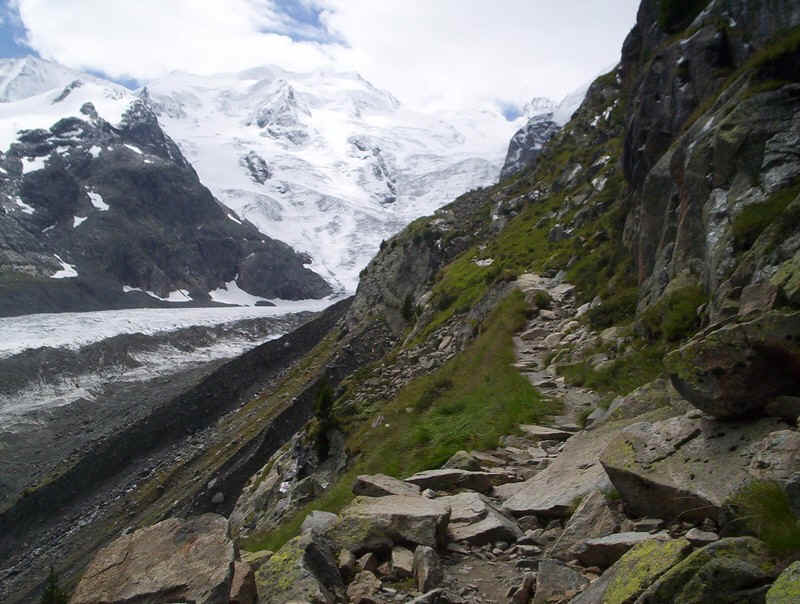
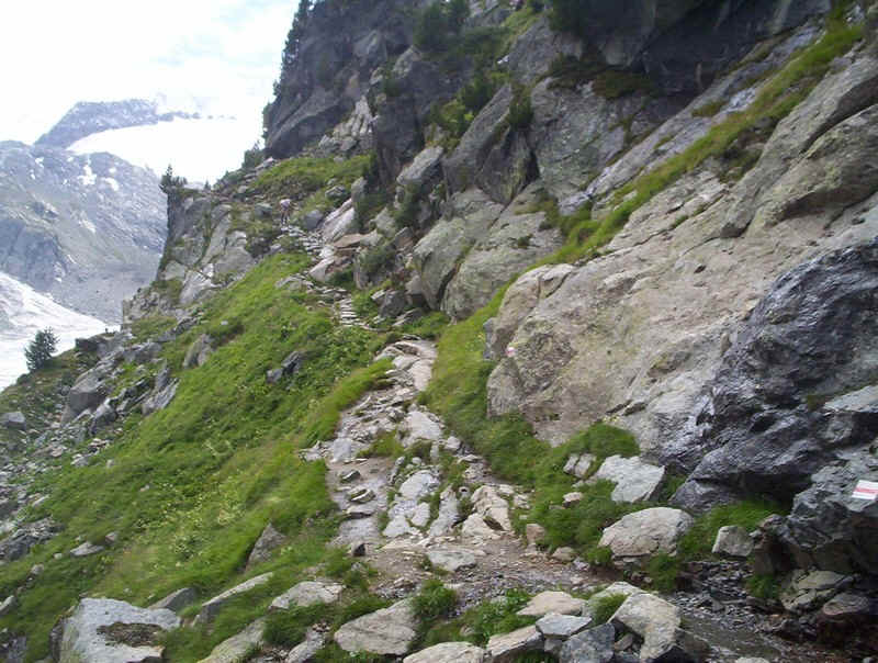
The path rounds a bend high above the glacier....
.....to find this interesting section where a stream has cut through the side morriane.
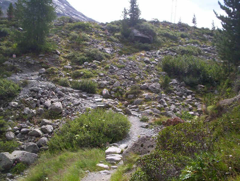
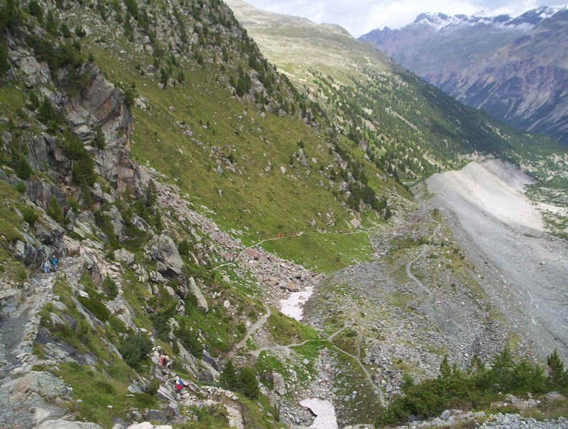
The path becomes gentler.....
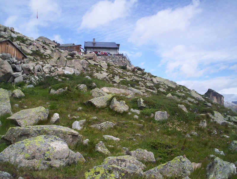
.....before it twists round and climbs up to the hut. I sat on the rocks overlooking the glacier eating my lunch pondering on the shortness of human life.........
......compared to the scene in front of me.
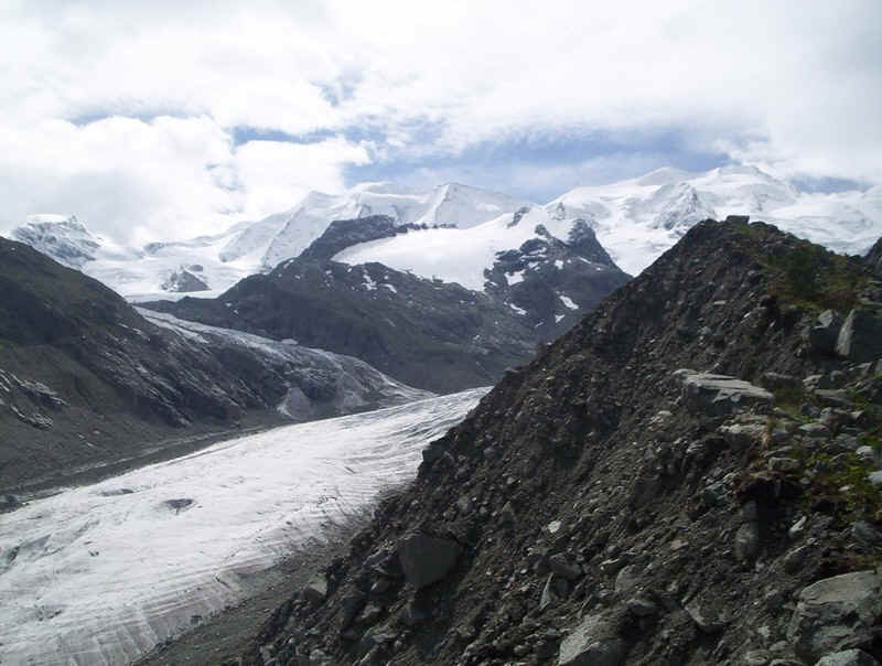
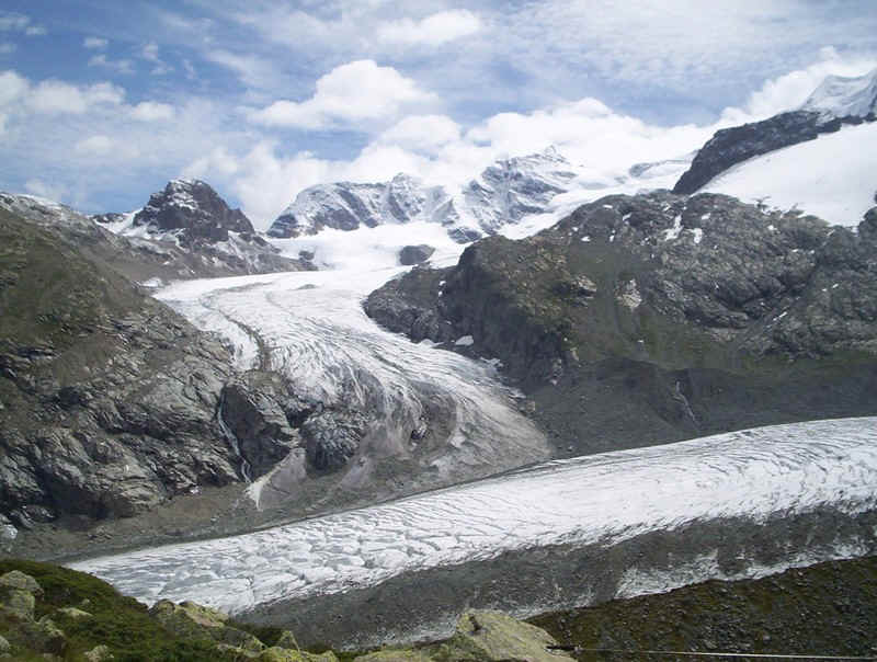
In the foreground is the Vadret da Morteratsch glacier and flowing into it is the Vadret Pers. The mountains from left to right are:
the rounded slopes of Diavolezza, then the pointed Piz Trovat, the ridge leading to Piz d'Arlas, the cloud covered Piz Cambrena and on the right the highest of the group Piz Palu at 3882metres.
The view from the hut is so awe-inspiring I've included two panoramic photos, both of which can be enlarged by clicking on the photos.
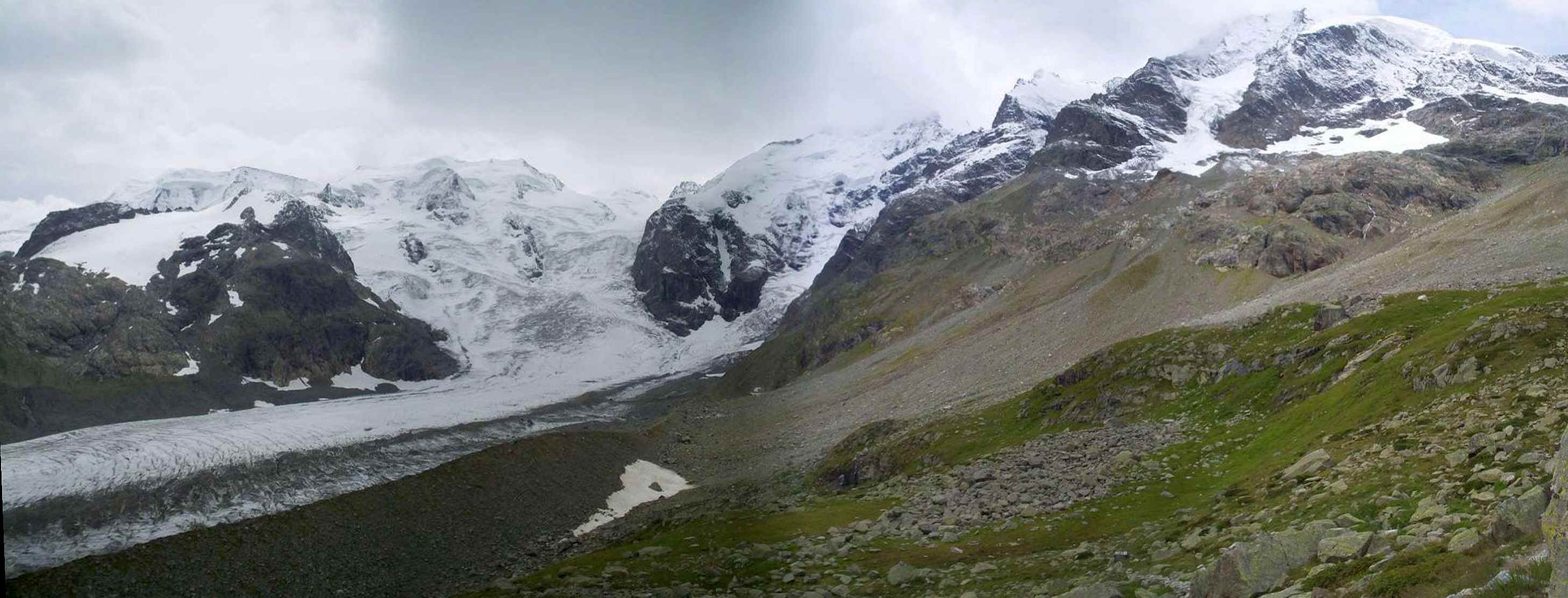
From left to right in this panorama are Piz Palu, the pass at Fuorcla Bellavista and over to the right Piz Zupo and the highest of all Piz Bernina at 4049m.
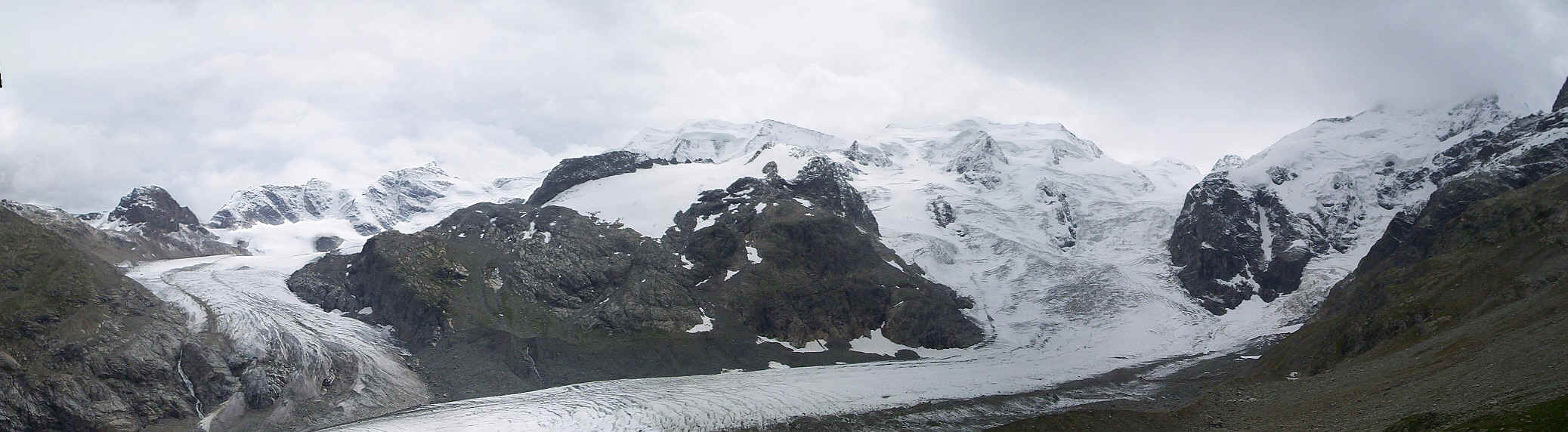
Above is a panorama of almost the entire range of mountains/ made by combining four photos.
After a break of half an hour it was time to start the descent, which in places needs some concentration!
Once again vegetation can be seen colonising the morraines.
One of the delights of this walk is that the view is interesting on the descent as well as the ascent.
Shortly before reaching Morteratsch a path goes off down into the valley. I hadn't planned going down this path but the sight of people walking up the valley floor to the snout of the glacier made me change my plans so at this path junction....
.....I headed down through the trees.....
......towards the broad path.....
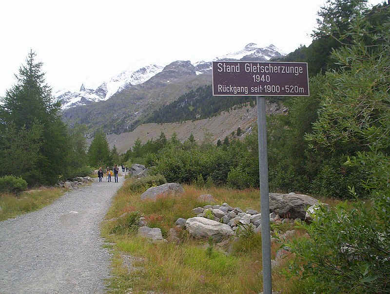
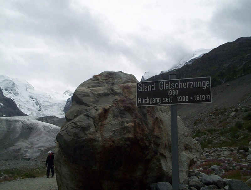
....which heads up to the glacier. There are signposts charting the retreat of the glacier every year since 1900.
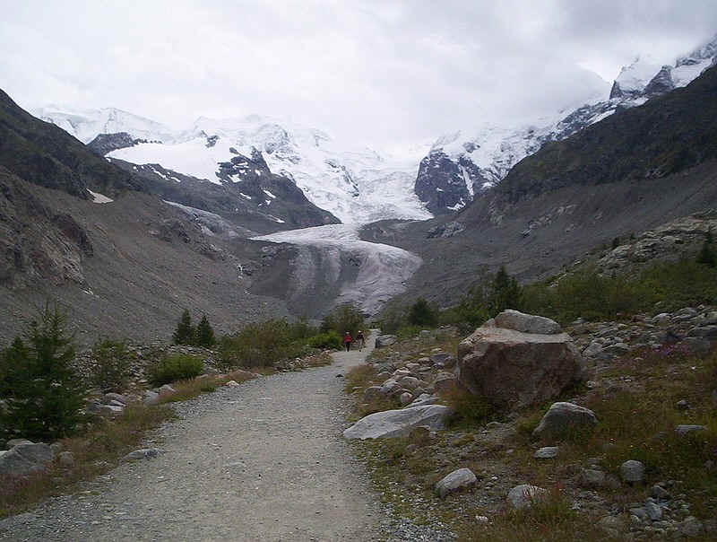
It's a very busy path and suitable for virtually anybody; not a place if you want some peace!
Huge boulders left by the retreating glacier litter the valley floor.
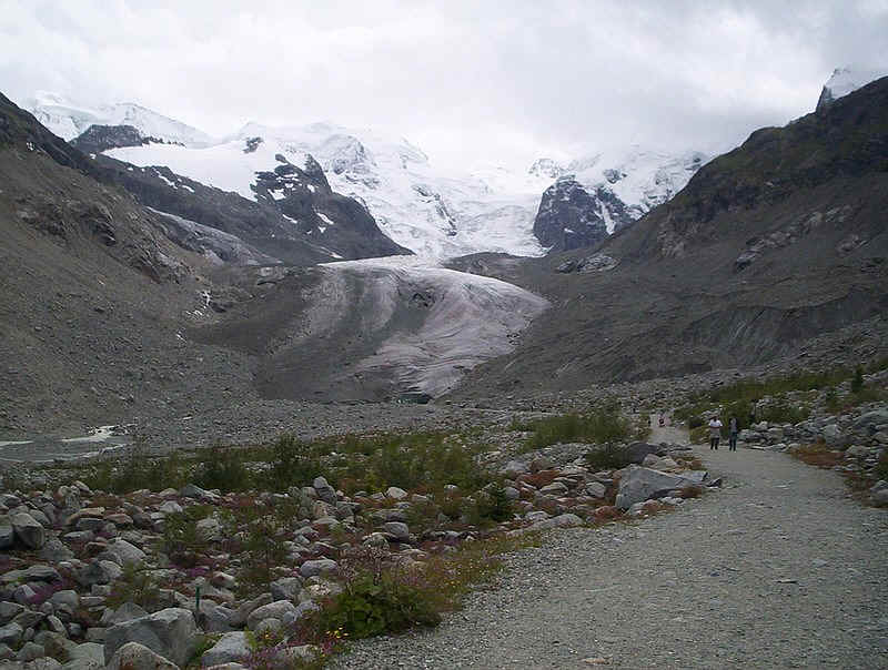
Soon the glacier's snout begins to dominate the view as the vegetation becomes scarcer.....
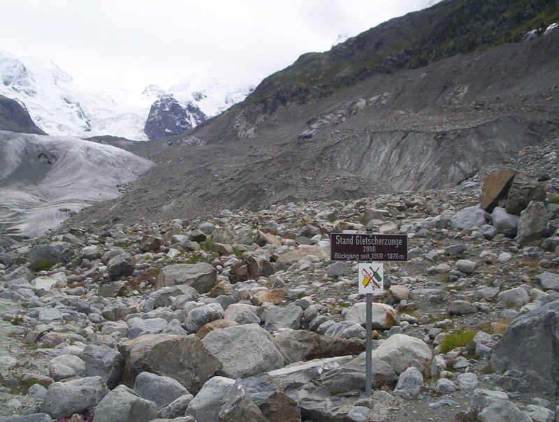
......and scarcer. this sign shows just how much the glacier has retreated in just ten years...........
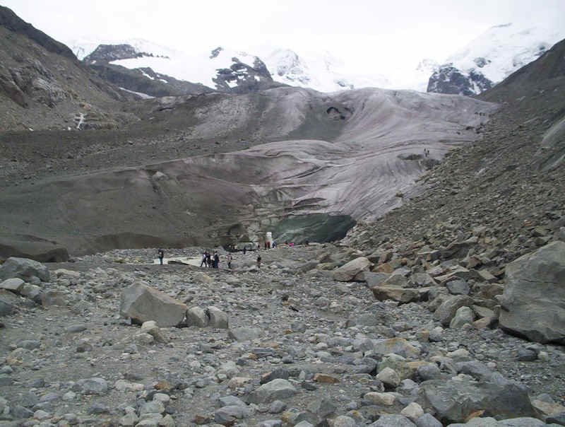
The sheer scale of the glacier slowly becomes apparent.......
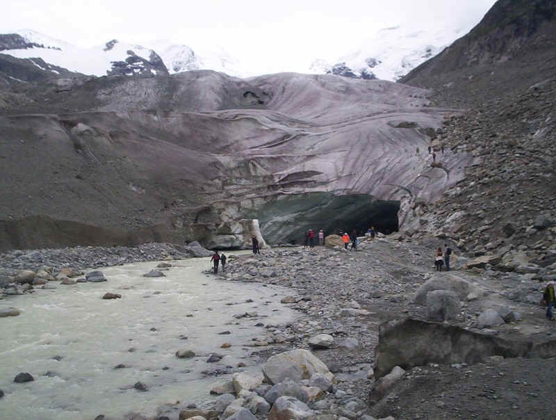
.....as you get closer.
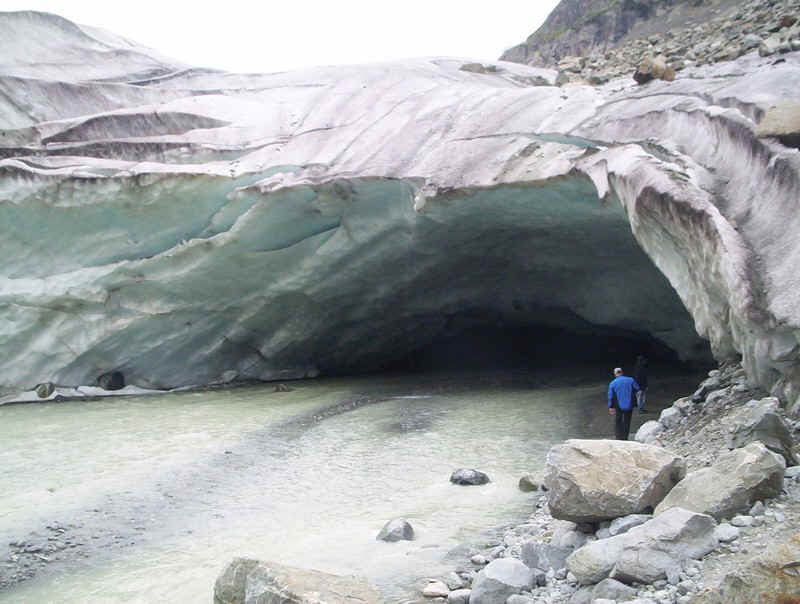
Signs warn of the danger of ice falls but despite this some people seem determined to enter the cave, out of which flows the river. Awe-inspiring indeed!

The footpath signs near the glacier suggest 40 minutes back to the station; I had a train to catch.....
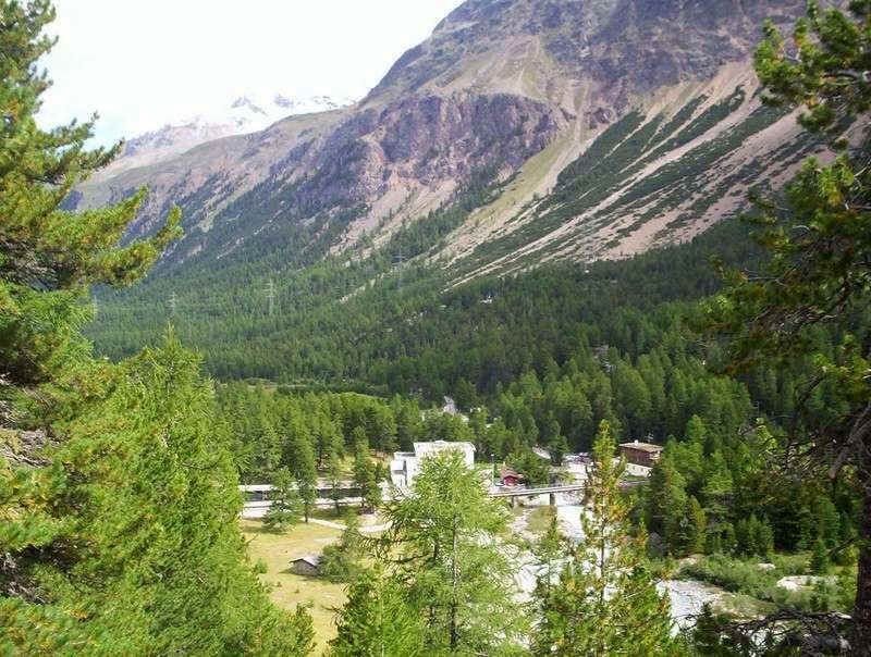
.......and a rapid march saw me back at Morteratsch in time to meet Fran, who'd been up Diavolezza in the cable car.
The walk had taken me exactly five hours including a break for lunch near the hut.