Muottas Muragl to Chamues-ch
This walk starts from the top of the funicular from Punt Muragl at Muottas Muragl.
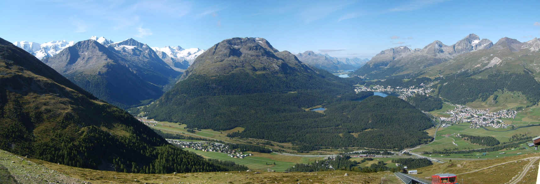
Click on the photo to see a large panorama of the view looking up Val Roseg on the left and towards the lakes in the En (Inn) valley beyond St. Moritz.
The first stage of the route to Chamues-ch follows the path to the lake at Lej Muragl and then on to the pass at Fuorcla Muragl, which is the low point on the skyline in the photo above. To the right of Val Muragl are Piz Muragl and beyond Piz Languard.
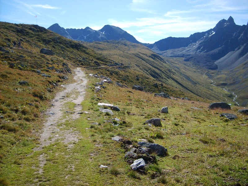
The track rises gently above Val Muragl....
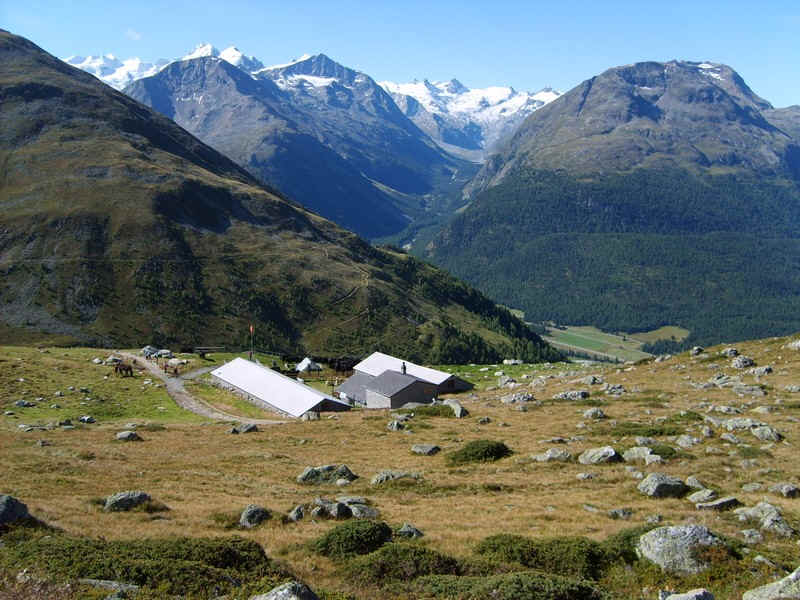
.......to look down on the farm at Margun.
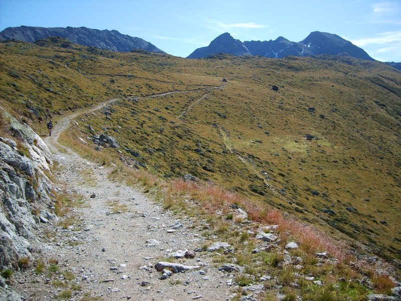
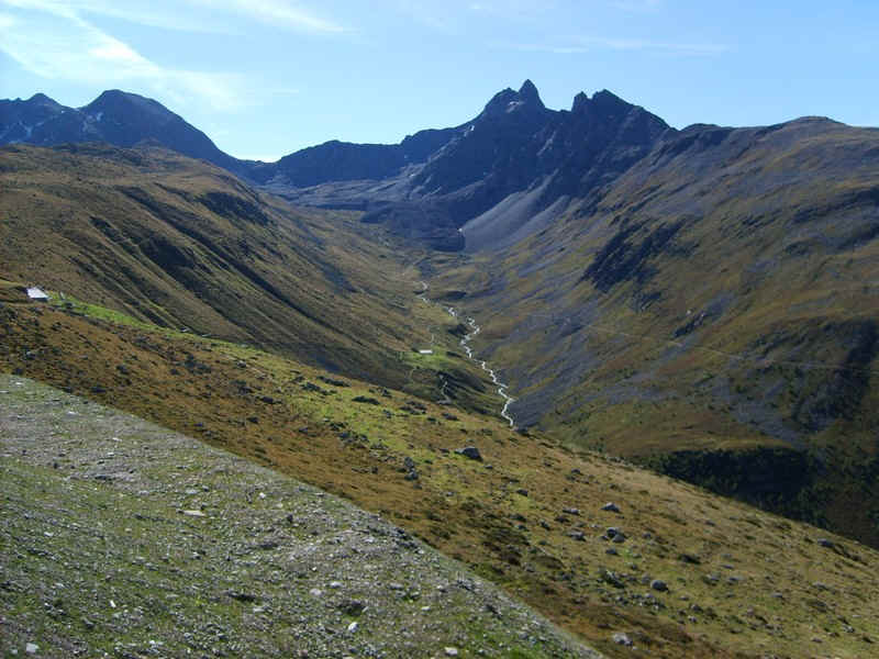
The gentle rise continues....
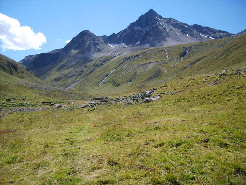
.....with increasingly dramatic views of the two peaks.
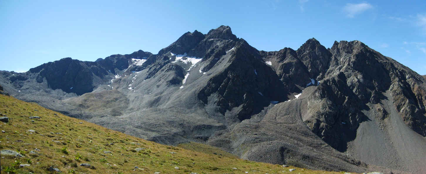
Click on the photograph to see a larger image.
This is marmot country with lots of squealing animals to be heard.
Click here to hear the sound of a marmot
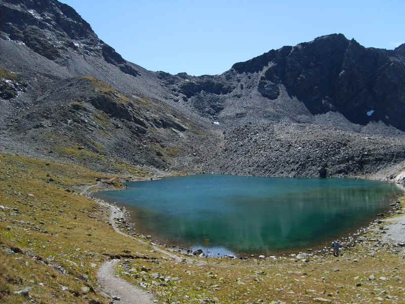
The path drops down to Lej Muragl...
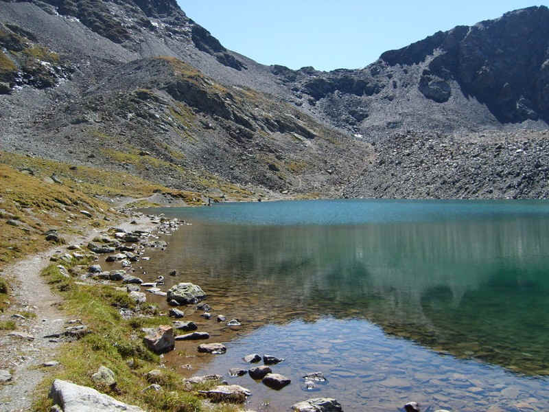
......with its deep and clear water.
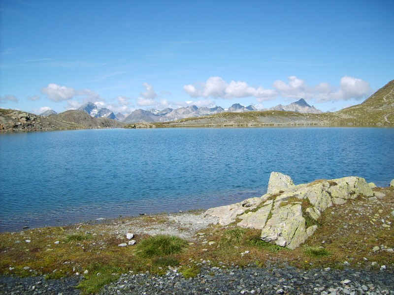
Looking back the mountains on the west side of the En (Inn) valley peep over the end of the lake.
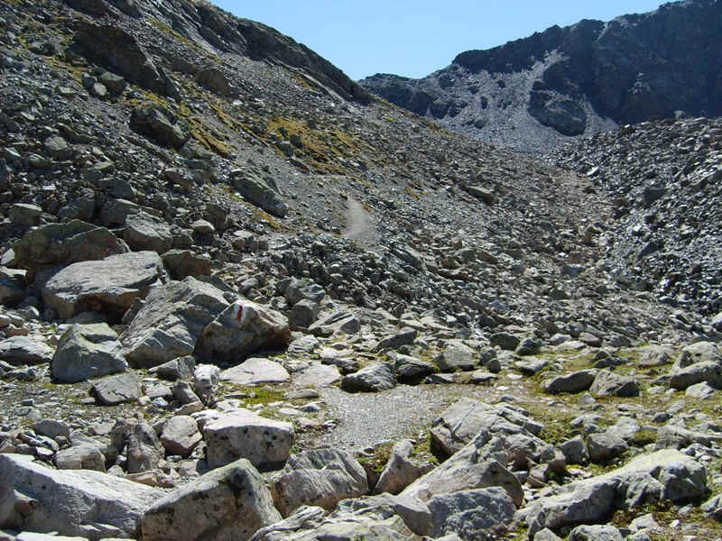
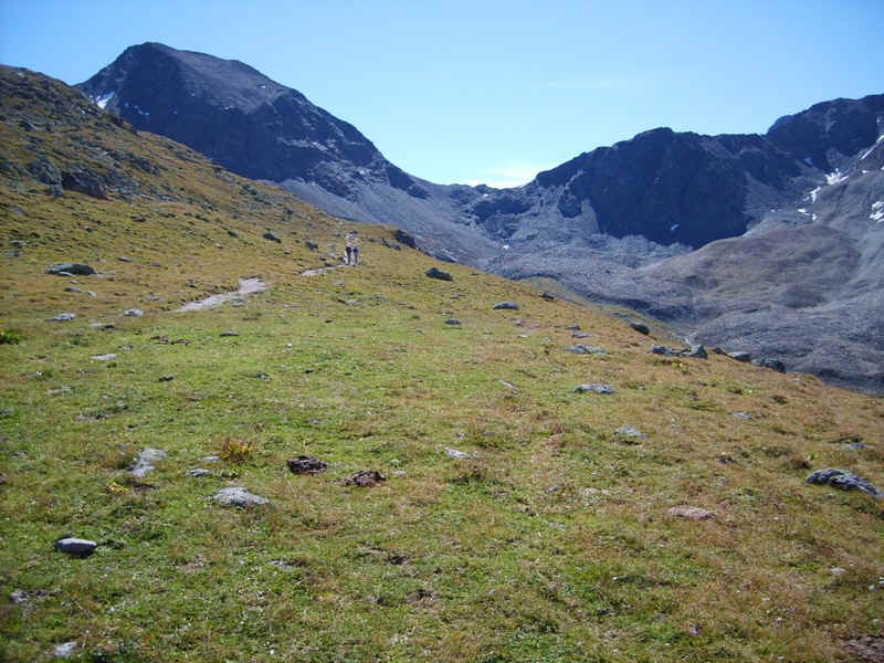
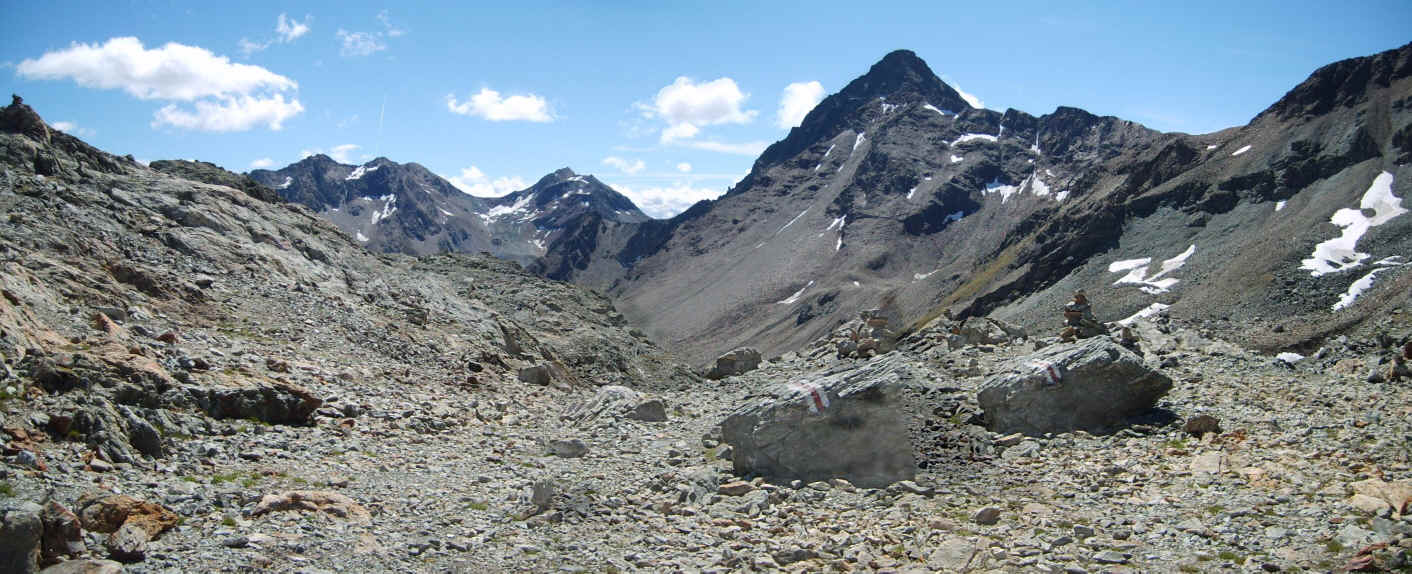
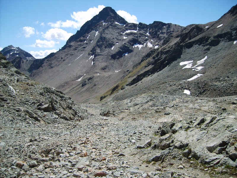
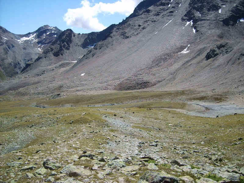
The nature of the path changes dramatically as it heads uphill from about 2715m to the pass at 2891m.
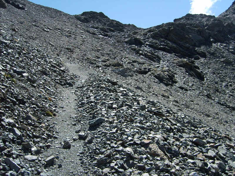
There's a clear path most of the way through stones, boulders and glacial debris.
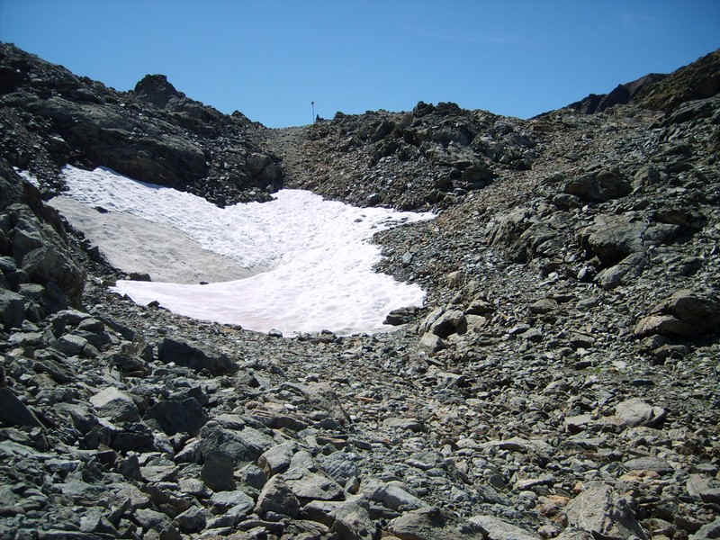
Near the summit of the pass there was still a snow patch in mid August.
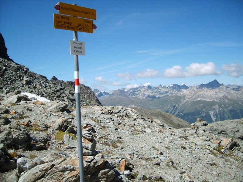
Fuorcla Muragl pass at 2891m.
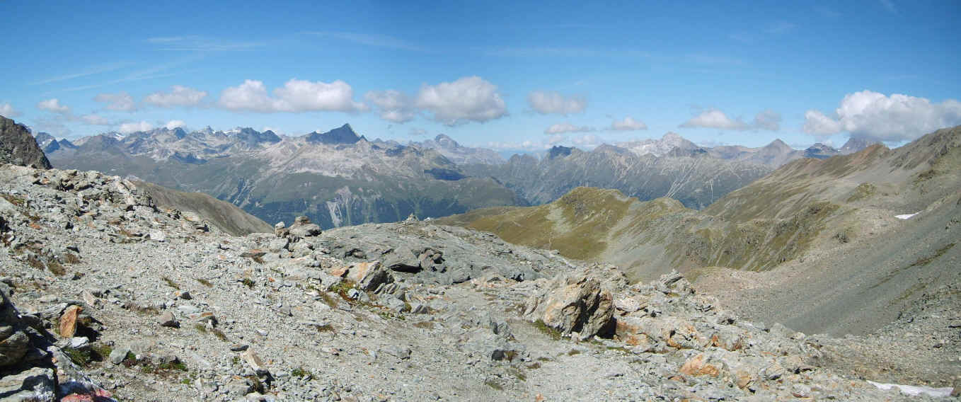
The panorama looking north-west over the En valley. (Click on the photo for larger image)
The panorama looking south-east towards Piz Languard. (Click on the photo for larger image)
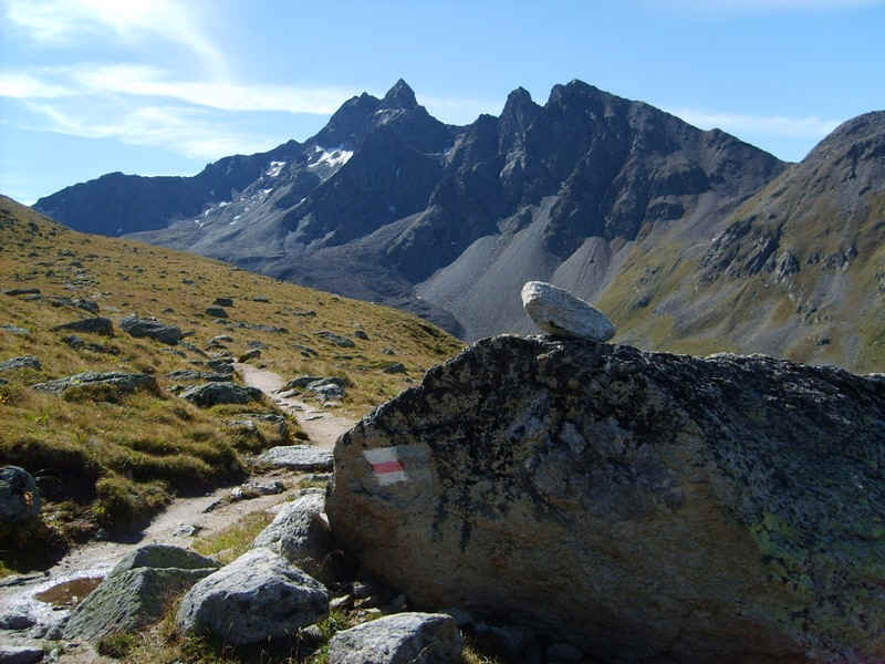
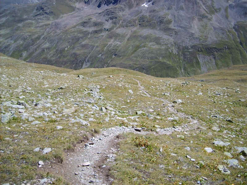
Beyond the pass the track is much less well defined, although there are red and white way marks. Care would be needed in mist to avoid loosing the path.
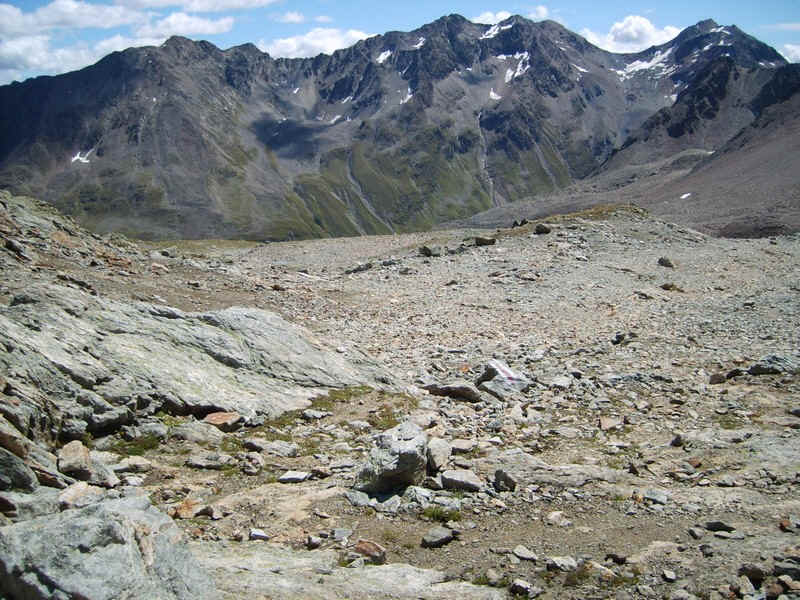
The way down into Val Prüna is over a mixture of stones .....
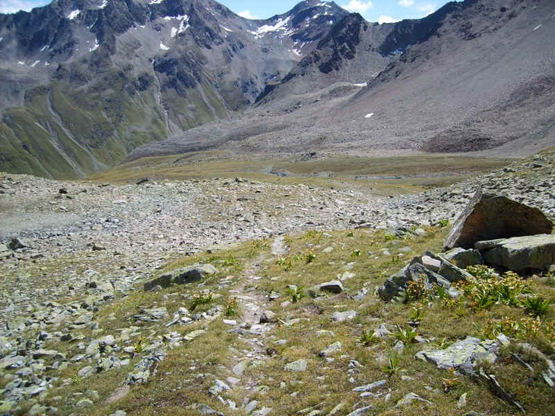
.....and grassy sections....
.....leading to an alm where cattle were grazing below the slopes of Piz Languard.
Te track then starts to descend more steeply...
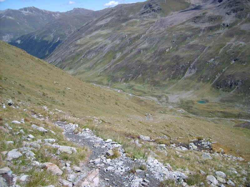
.....into the valley....
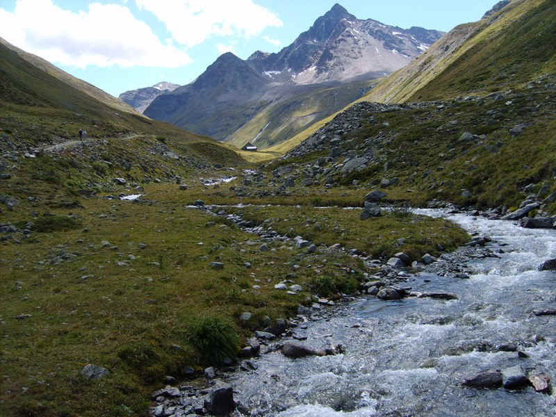
...and the river of the Ova Prüna,
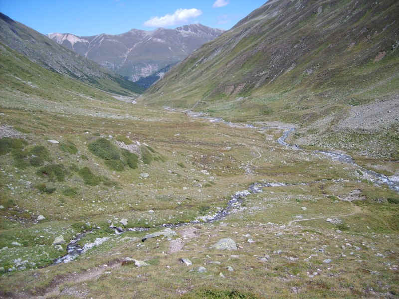
Once down by the river the view back shows the way down from below Piz Languard.
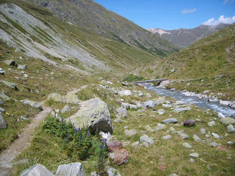
The path crosses the river at a bridge....
......before reaching the barn at Alp Prüna.
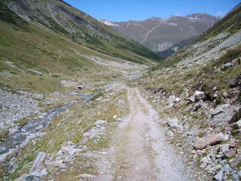
From here on the way to Chamues-ch is on a broad farm track which steadily falls downhill from 2270m to 1708m at Chamues-ch.
The track crosses the river again...
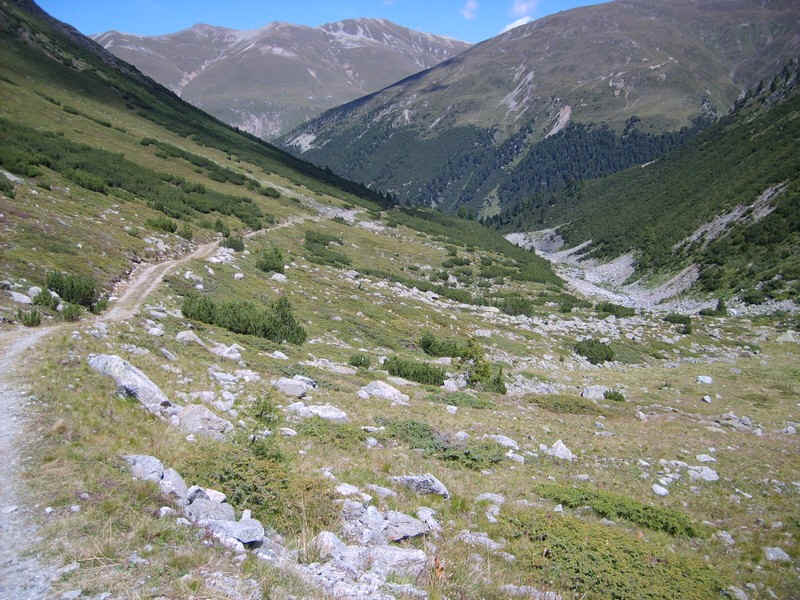
...and then begins to drop steeply down...
....into Val Chamuer.
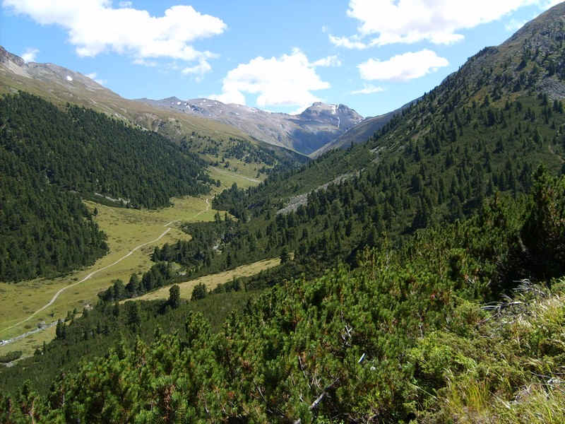
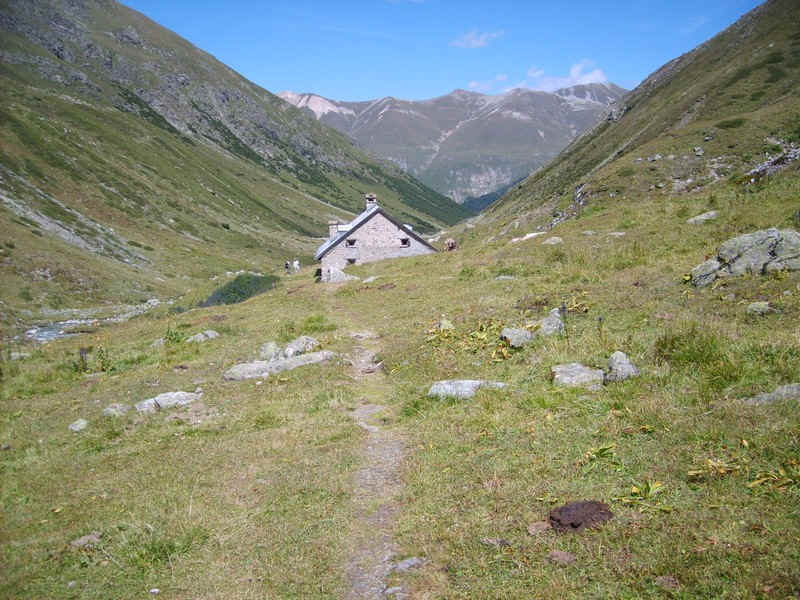
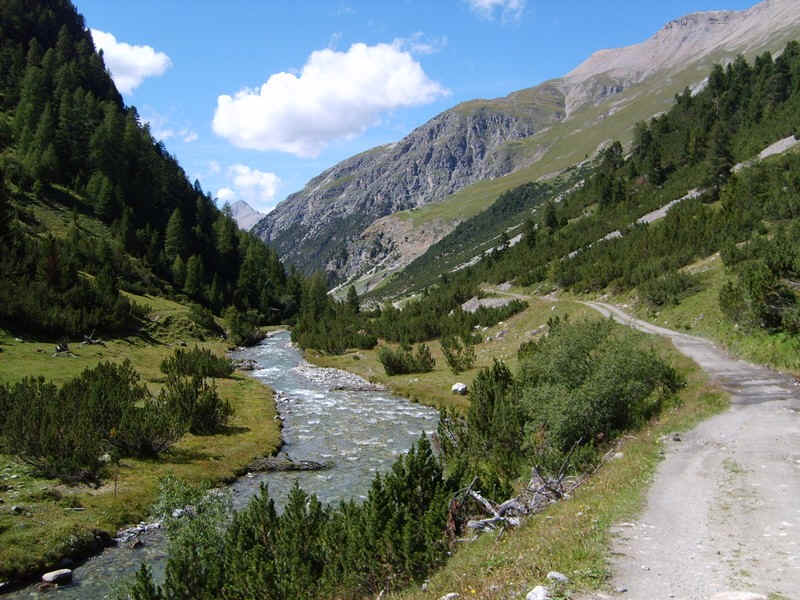
Looking up Val Chamuer; an almost idyllic scene.
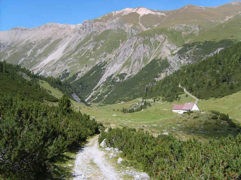
At Serlas there's a large farm-house...
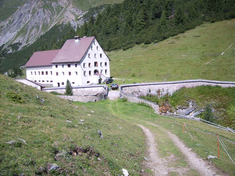
.....where there was a family party taking place.
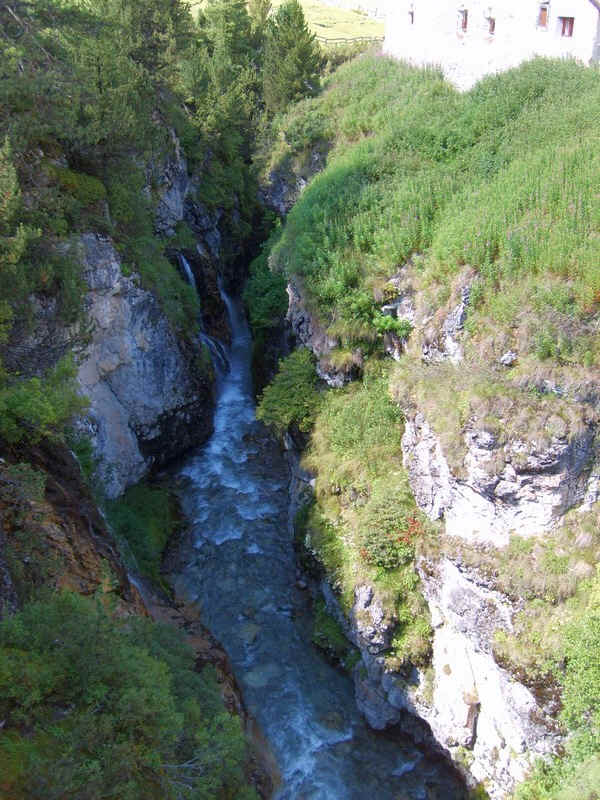
Just before the farm the track crosses a bridge over this deep gorge.
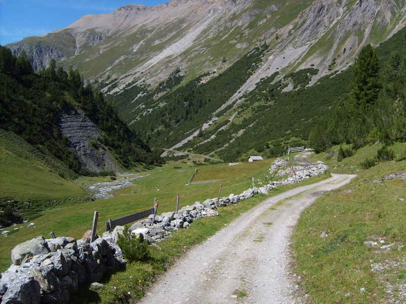
Beyond Serlas there are fields with stone walls...
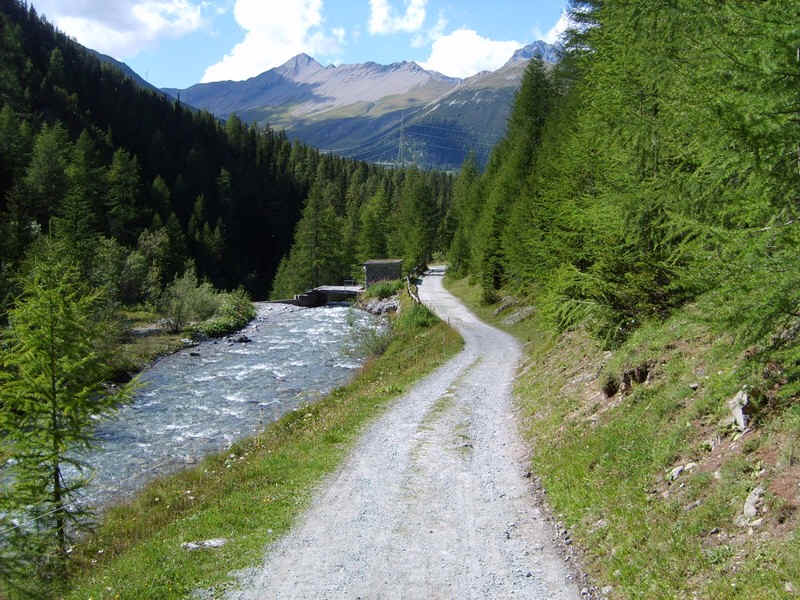
......and the track follows the river......
.....to reach this narrow defile down which the track drops...
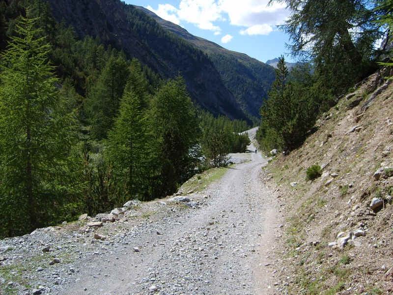
.......now high above.....
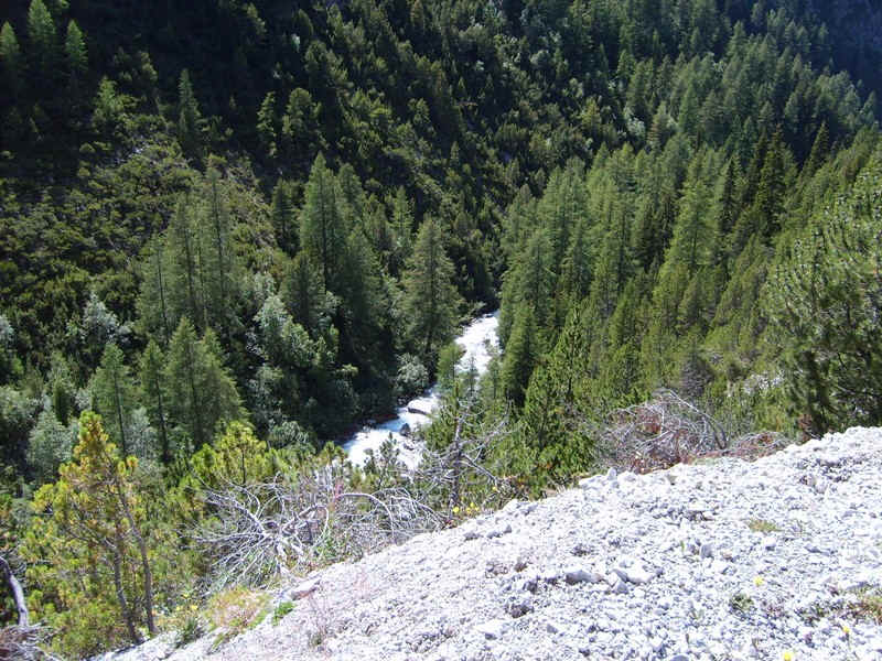
......the river. The track is also a favourite with cyclists who hurtle downhill too fast!
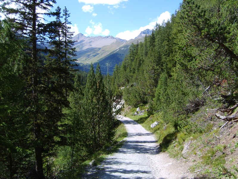
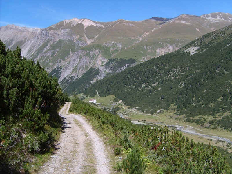
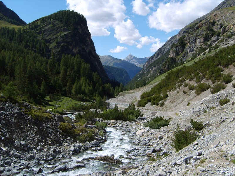
Eventually, the valley leading to the Albula pass comes into view...
.....and there are signs of a hydro electric power scheme, the first one that was built in the Engadine.
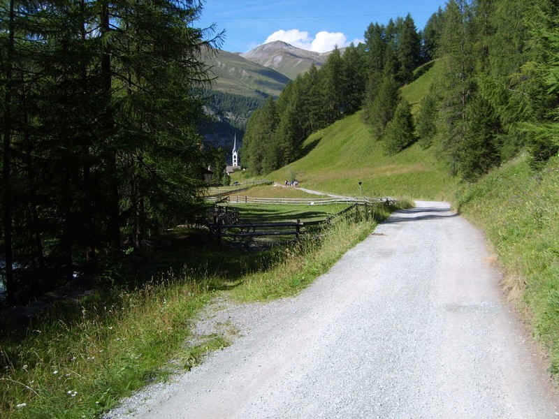
Just over 6 hours after leaving Muottas Muragl the church at Chamues-ch came into view.
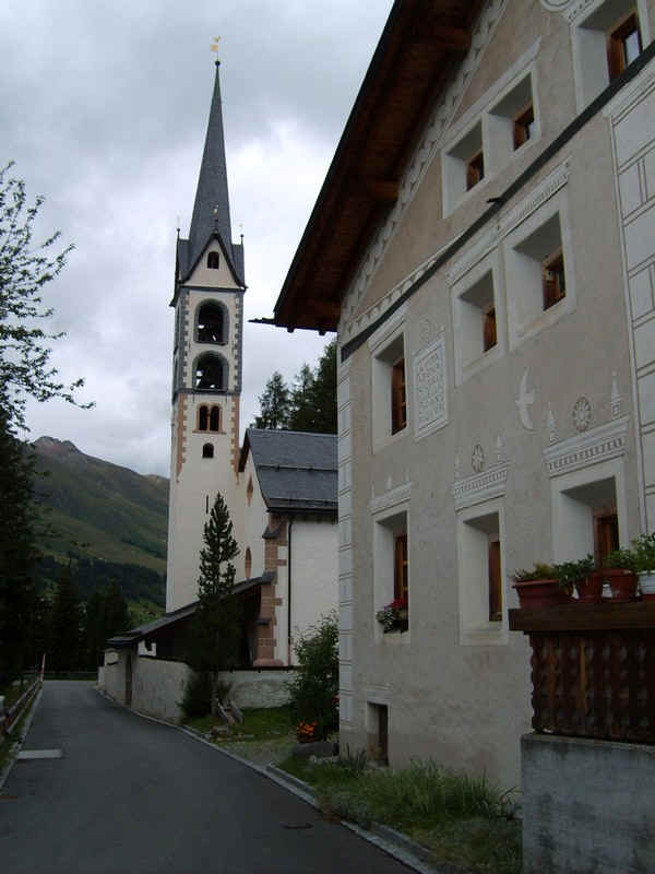
Chamues-ch, a delightful village, but nowhere to have a drink at all in mid afternoon.....