Pontresina to Ospizio Bernina
The map above shows the route I took. The white markers are from my GPS tracker, which did not work in the earlier parts of the walk due to the dense forests for much of the route. This section of the walk is shown using the blue markers. Click on the various buttons to alter the size and appearance of the map.
The walk from Pontresina to Ospizio Bernina (or Bernina Hospice) is a good one for when the weather is too bad to venture higher into the mountains. It was on just such an August day, with rain and wind (and higher up snowfall) that I did this walk. It took me slightly less than four and a half hours although the signposts suggest about about 5 and a quarter hours.
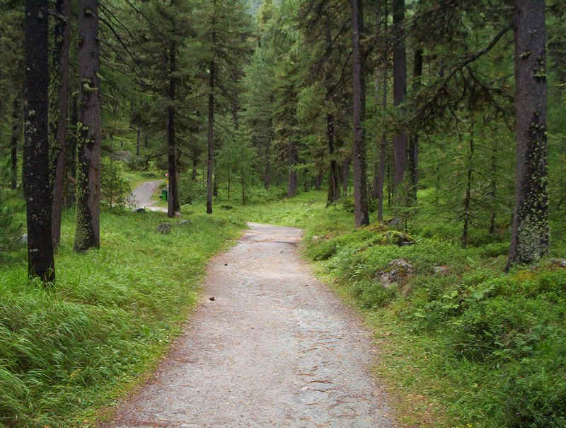
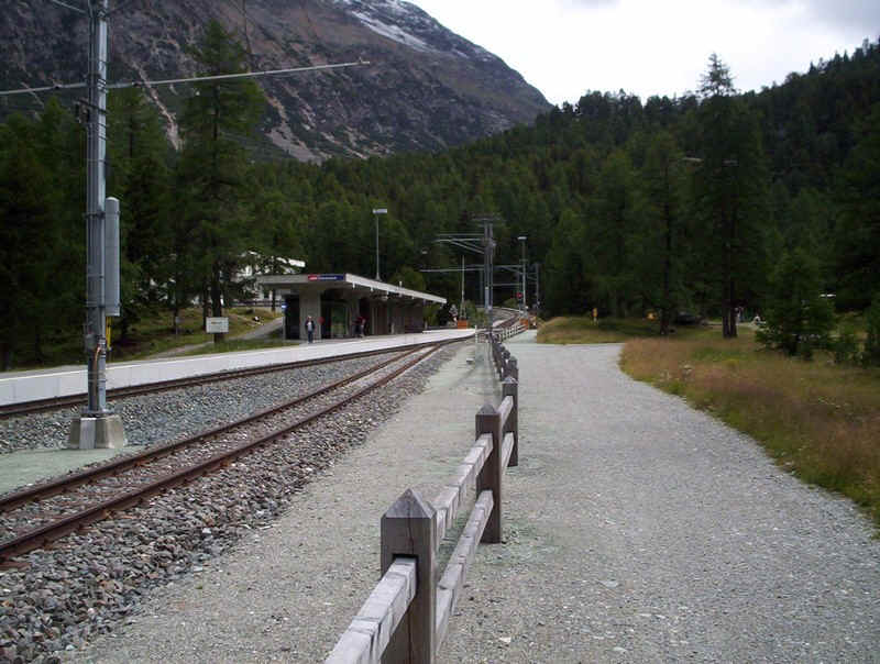
Leaving Pontresina station, the path soon heads up through woods on a broad path.....
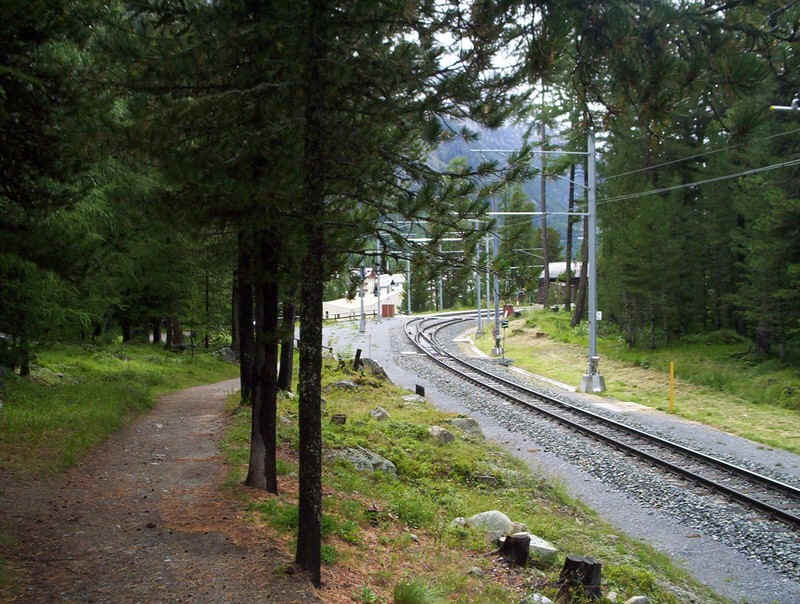
......to reach Surovas station.
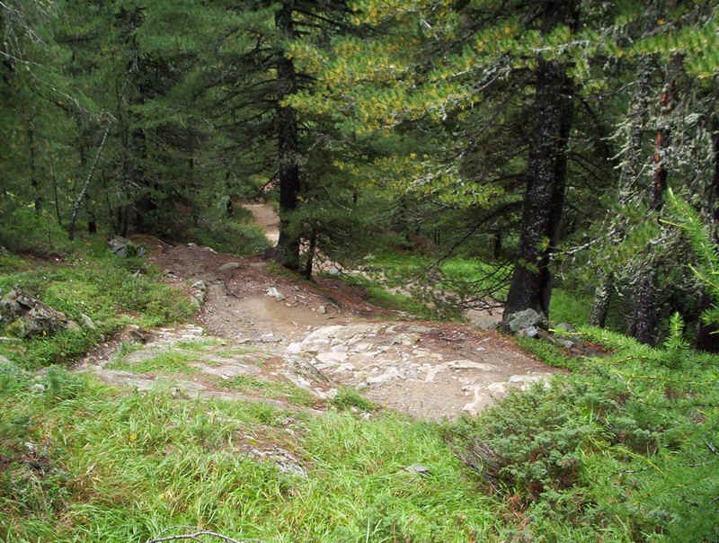
Once over the railway the path continues through woods....
.....and meadows to reach....
......Morteratsch station. One of the advantages of this walk is that there are stations every few kilometres and with a virtually hourly service it's possible to shorten or lengthen the walk easily.
So far it's been a gentle stroll but now the path climbs steeply up the first of the steps in the valley floor.
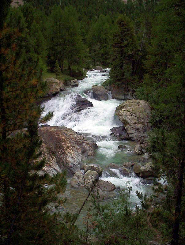
The path passes the Cascata da Bernina (Bernina Cascade).
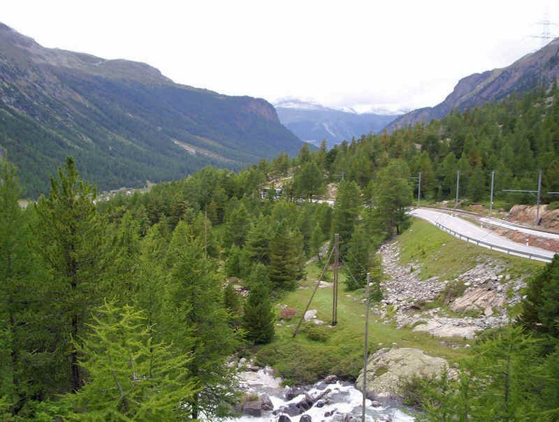
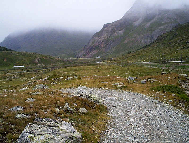
This is the view looking back down hill towards Morteratsch, with the road and railway beginning their descent down a succession of hairpin bends.
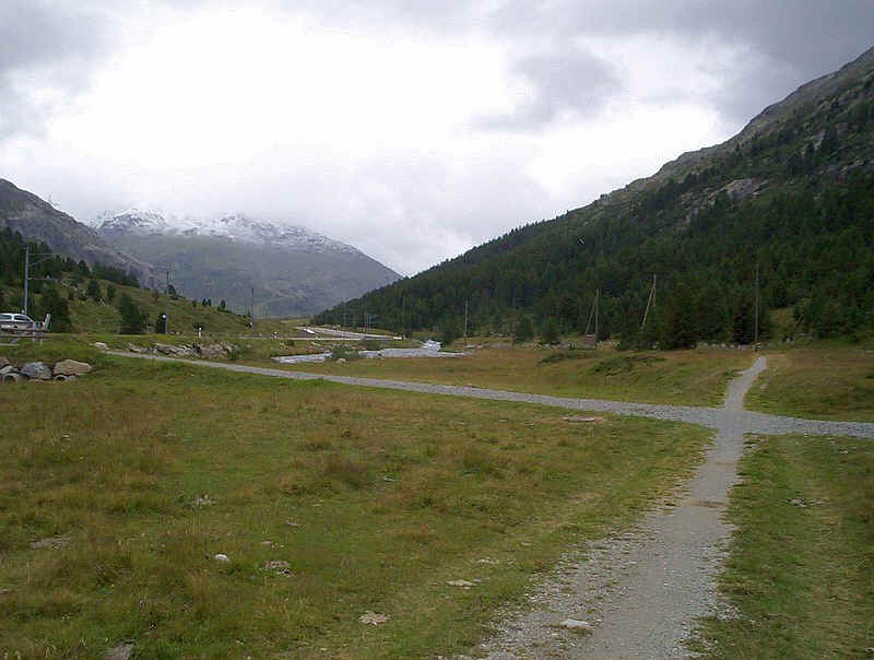
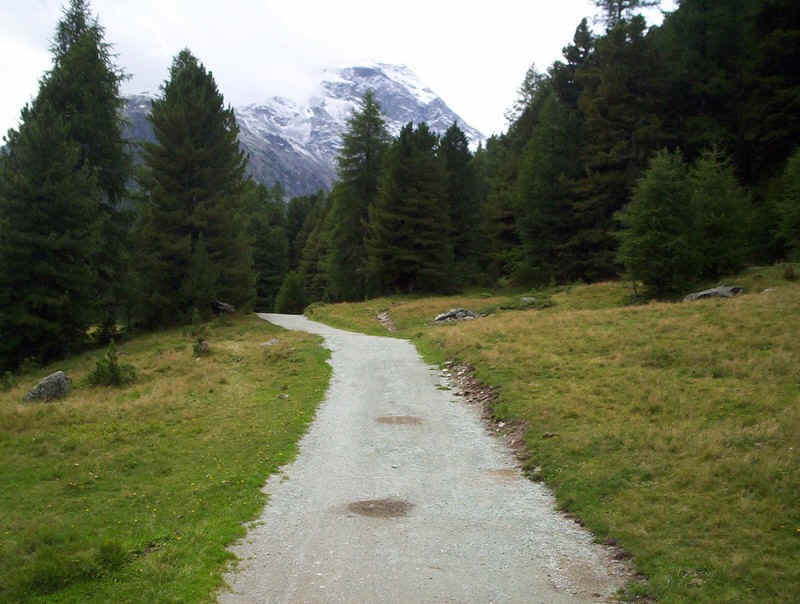
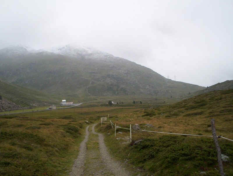
The valley floor opens out as the path heads.....
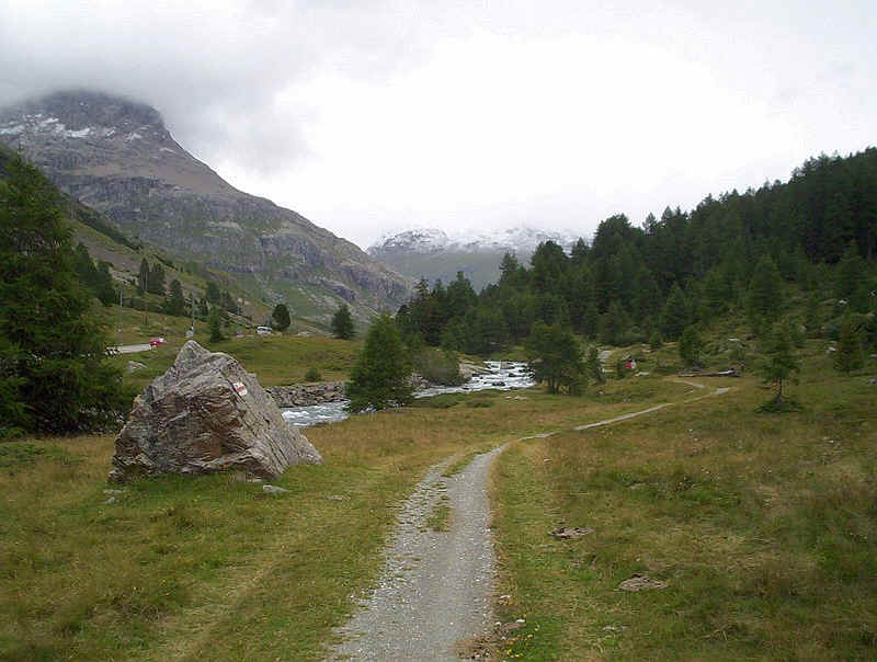
.......past this eratic boulder.....
......and along the river to reach Bernina Suot station. Here the signposts confusingly point across the railway towards a hotel.......
.....but the path actually stays on the same side of the line and is, initially, quite faint.
Back on a clearer trail, there's a slight downhill section to reach the Diavolezza railway and cable car station. In the mist is Piz Lagalb at 2959m above sea level.
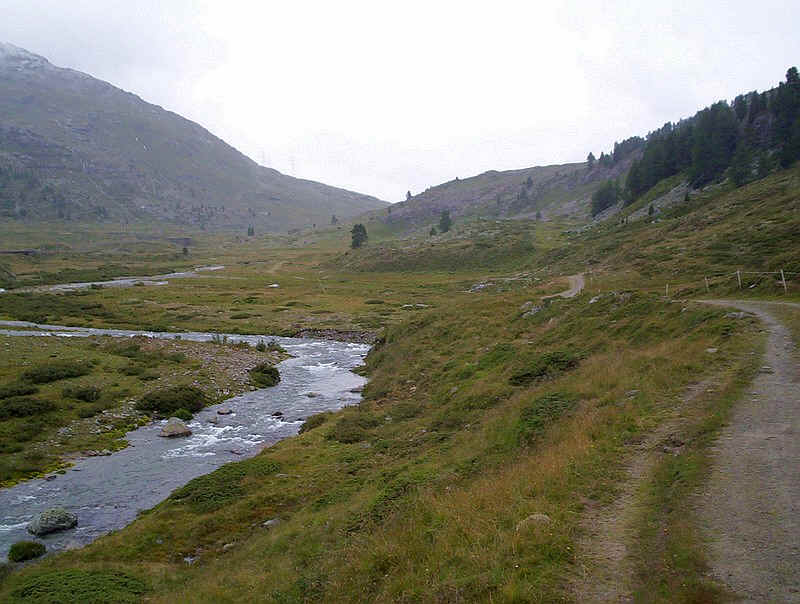
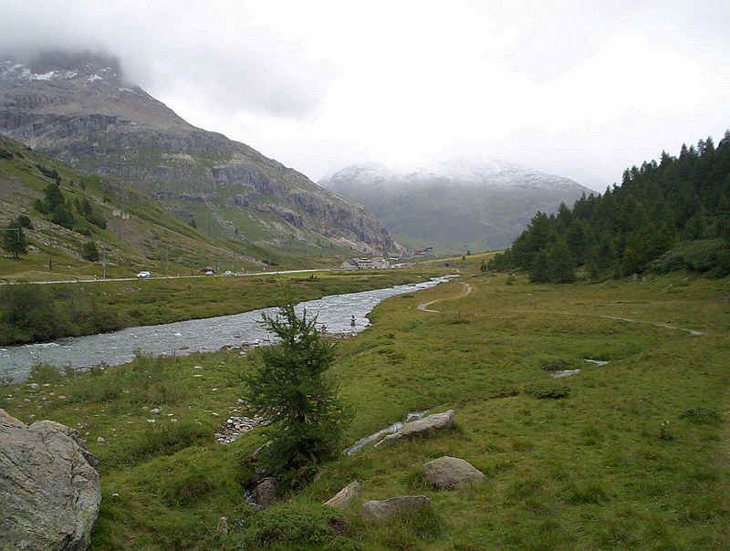
The track follows the river climbing slightly before.....
.....dropping down to the railway line again.
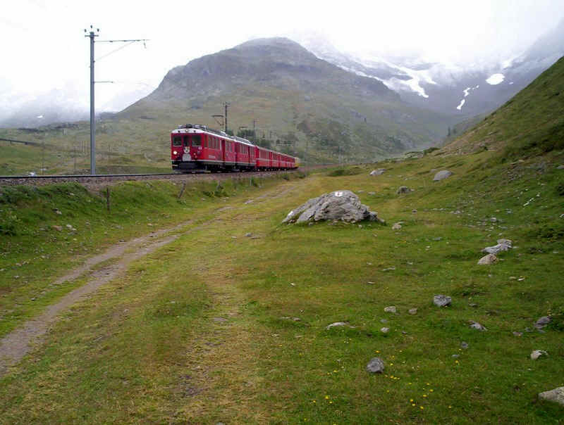
A Tirano to St Moritz train appeared at just the right moment. Even in the miserable weather, there were some hardy passengers riding in the yellow open top coaches at the rear of the train.
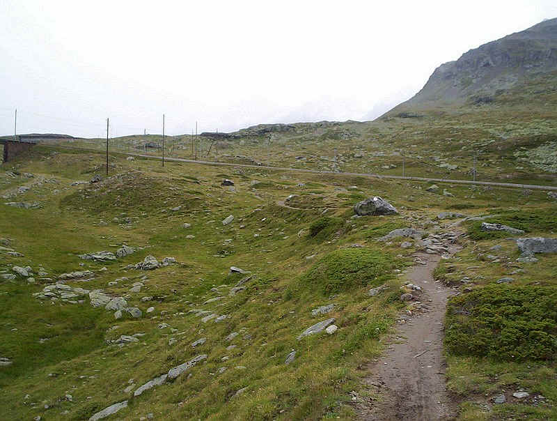
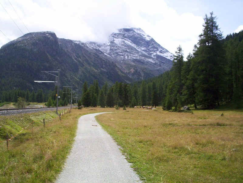
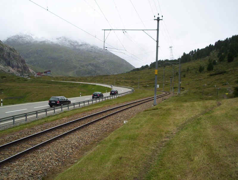
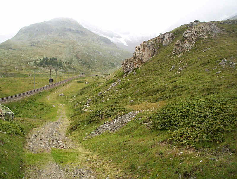
The path, like the road and railway, now twists and turns as the next step in the valley is reached.
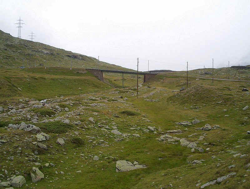
The path passes under the railway bridge (beware cyclist hurtling downhill!)....
.....whilst here is a view looking back down the valley. Despite the proximity of the road and railway the valley was surprisingly peaceful most of the time and noise didn't detract from the walk.
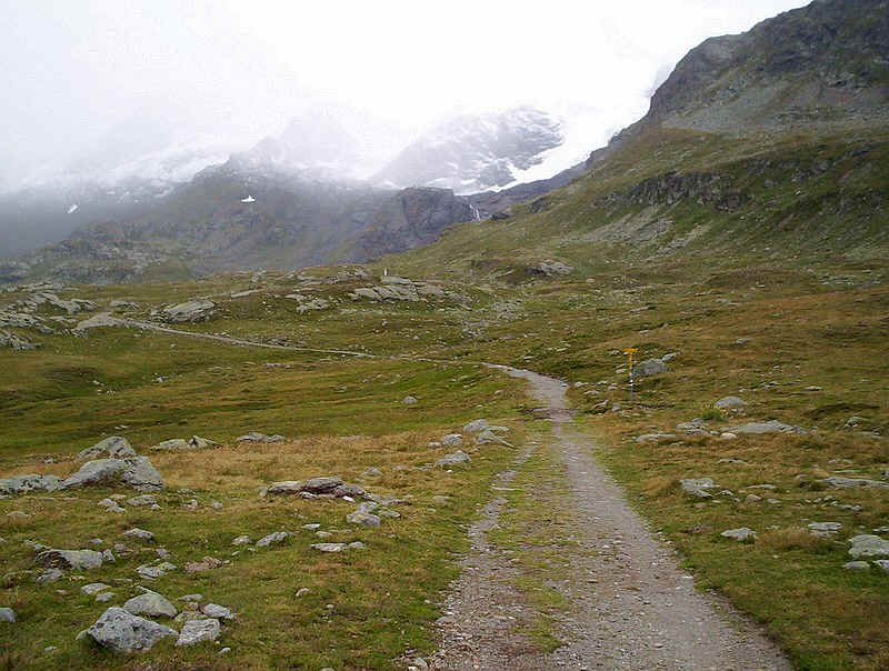
Sadly, the weather reduced visibility considerably, but the brooding presence of the mountains and glaciers added something to the walk that is missing on a fine day.
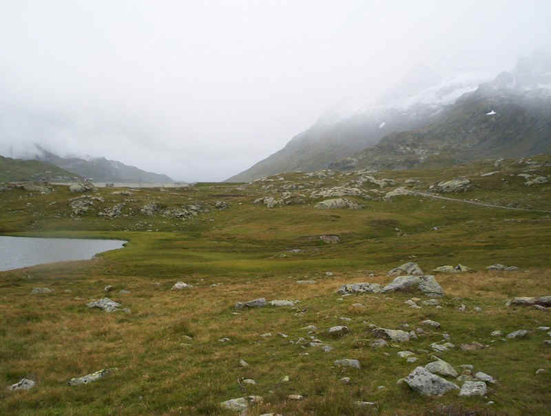
The path now heads straight for the dam at the end of Lago Bianco (literally White Lake), passing the much smaller Lej Nair (Black Lake).
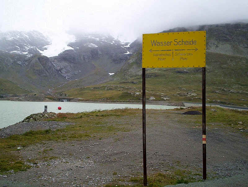
Once across the dam, this sign shows the watershed between the rivers flowing to the Adriatic Sea and the Black Sea. The watershed is also the language border between Italian (Lago Bianco) and the Romansh (Lej Nair) speaking parts of Switzerland.
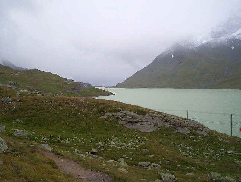
Even in the dull weather, Lago Bianco still looked white; the red balls in the lake were placed there by the Rhatische Bahn to celebrate the 100th anniversary of the opening of the Bernina line. The path follows the edge of the lake above the railway and has one or two "man traps" in the form of steel cables holding up avalanche fences.
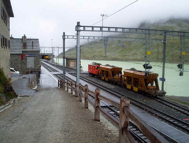
The path ends on the platform of Ospizio Bernina station, with its very welcoming restaurant in the....
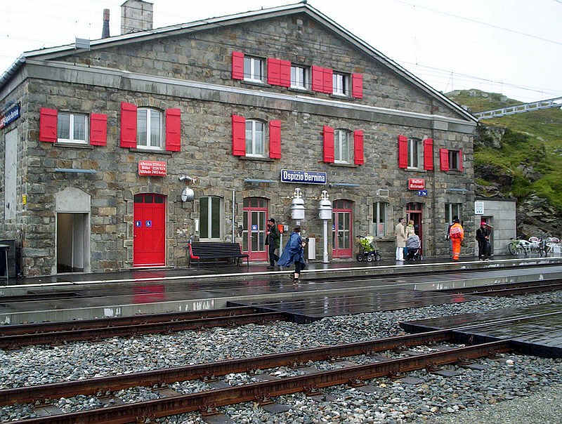
......substantial building. I can recommend the soup on a cold and wet afternoon! Passengers will also hear the bells on the platform being rung when the train is due, something not often heard very often nowadays in Switzerland. At 2259m the station is the highest on a cross Alpine route in Europe.