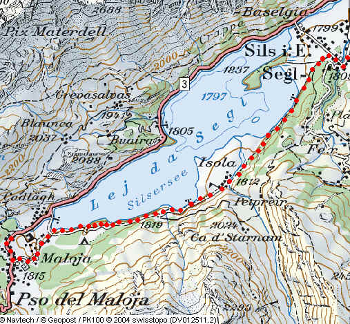
Samedan to St Moritz and Maloja via the valley and lakes
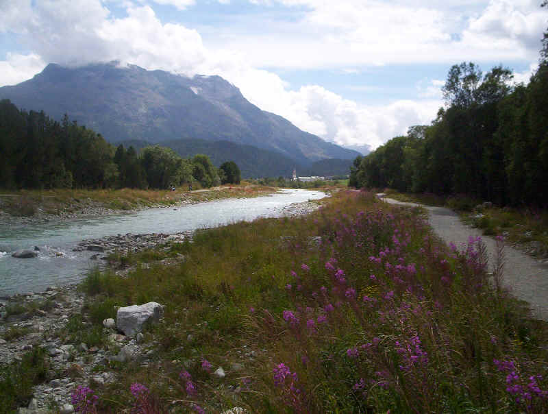
Leaving Samedan we took the path to Celerina, along the left bank of the Inn., .
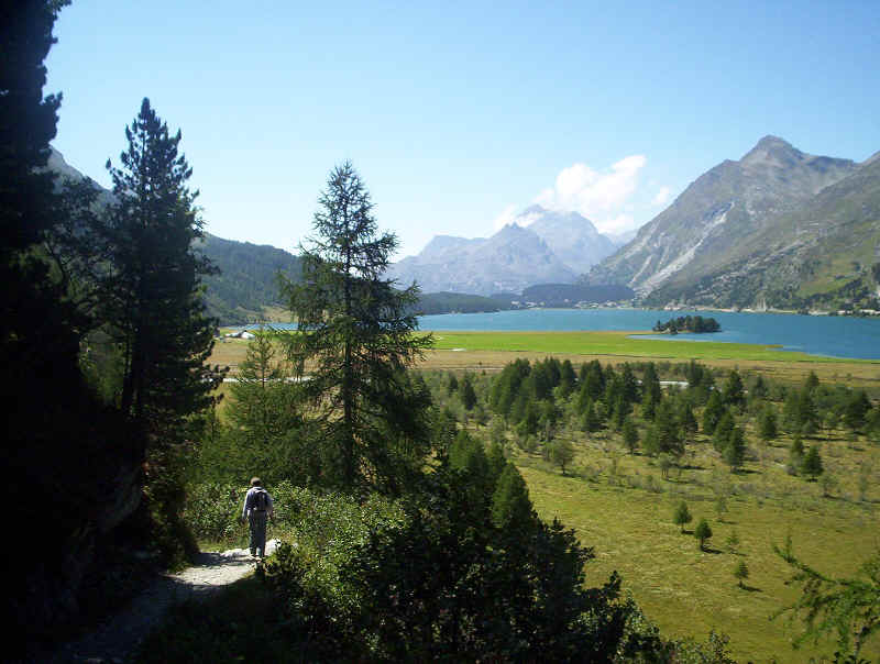
Looking up the valley towards the Bernina Pass.
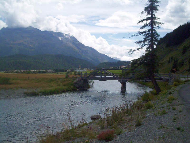
We took the path to Celerina as far as a wooden bridge and then followed the signs to Lej da Staz across the bridge.
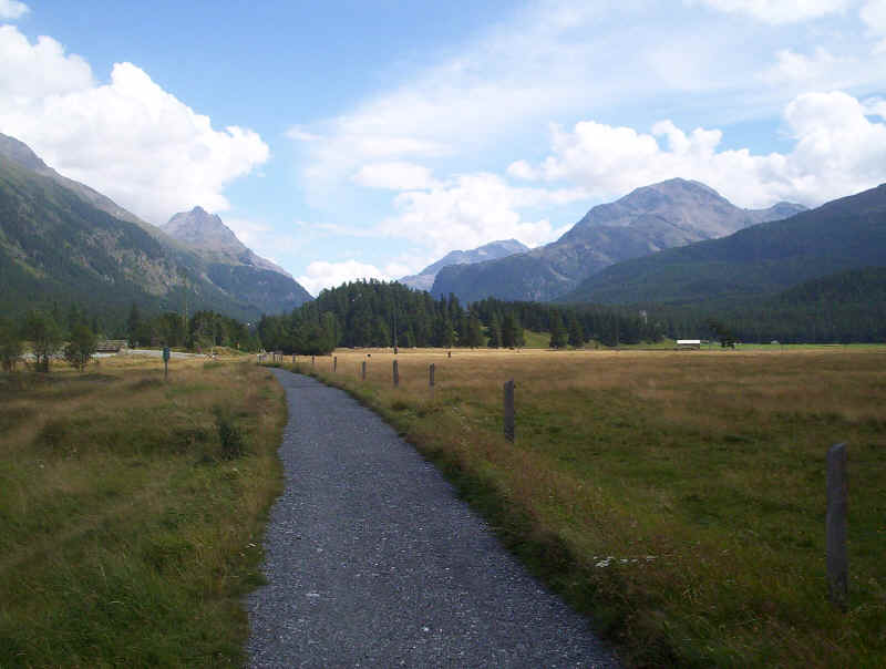
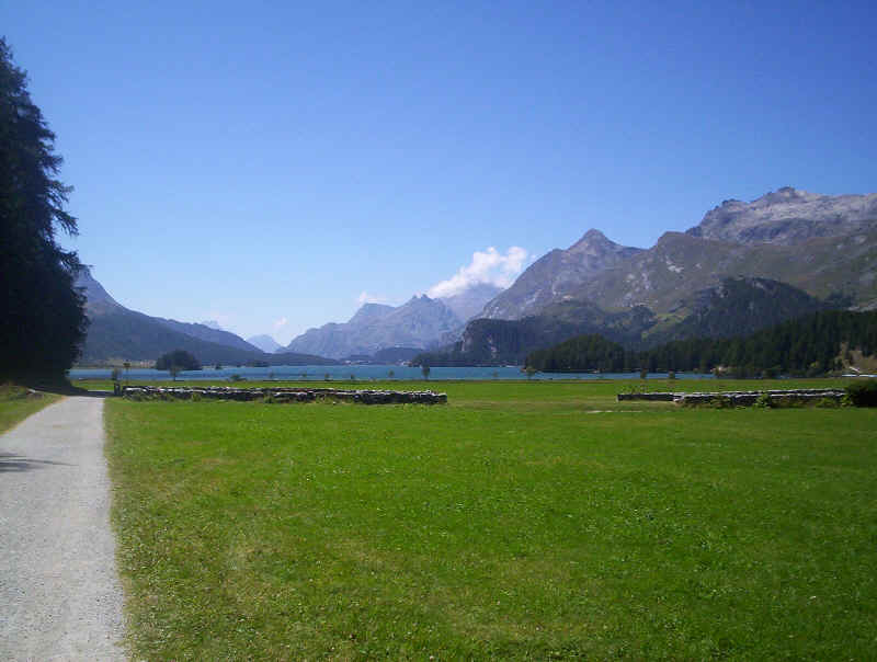
The next part of the walk is across the valley floor meadows along wide tracks, sometimes paved.
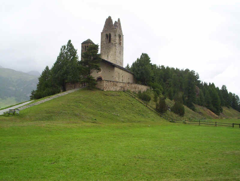
After passing the ruins of San Gian church (note this photo was taken on a different day to the rest of the photographs).....
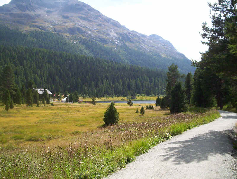
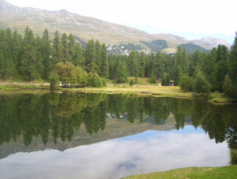
......the railway is crossed and the path climbs through woods to the lake.
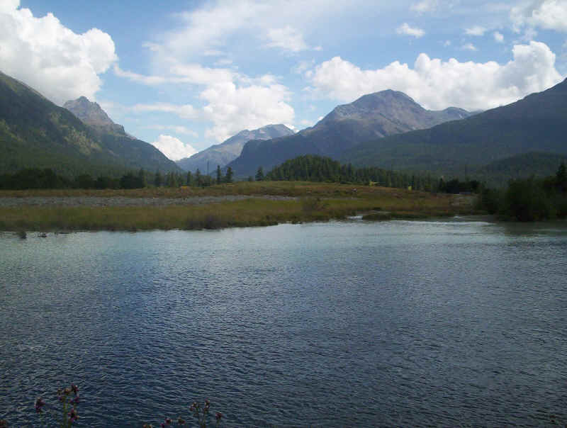
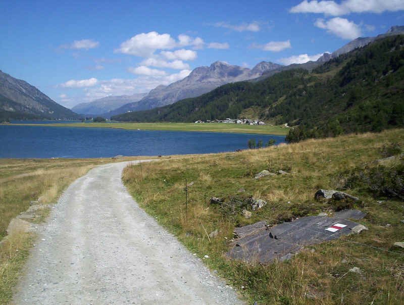
Lej da Staz
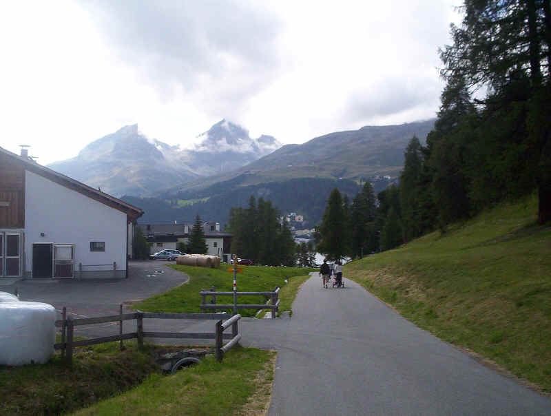
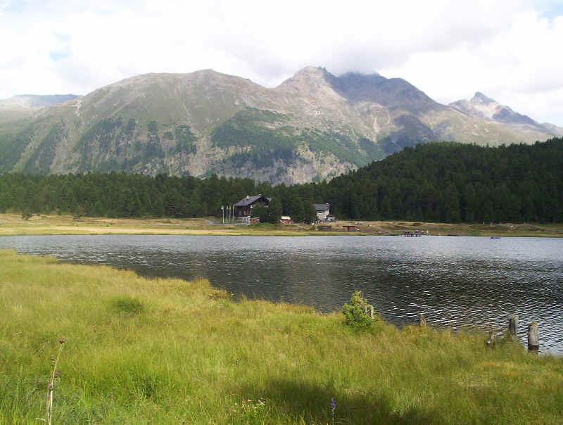
Then it is along a paved lane to St. Moritz Dorf and the Lej da S. Murezzan.
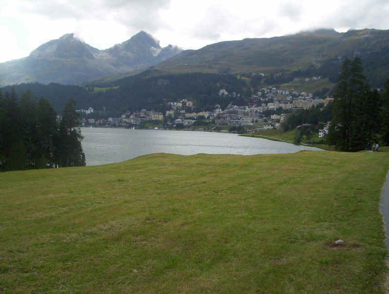
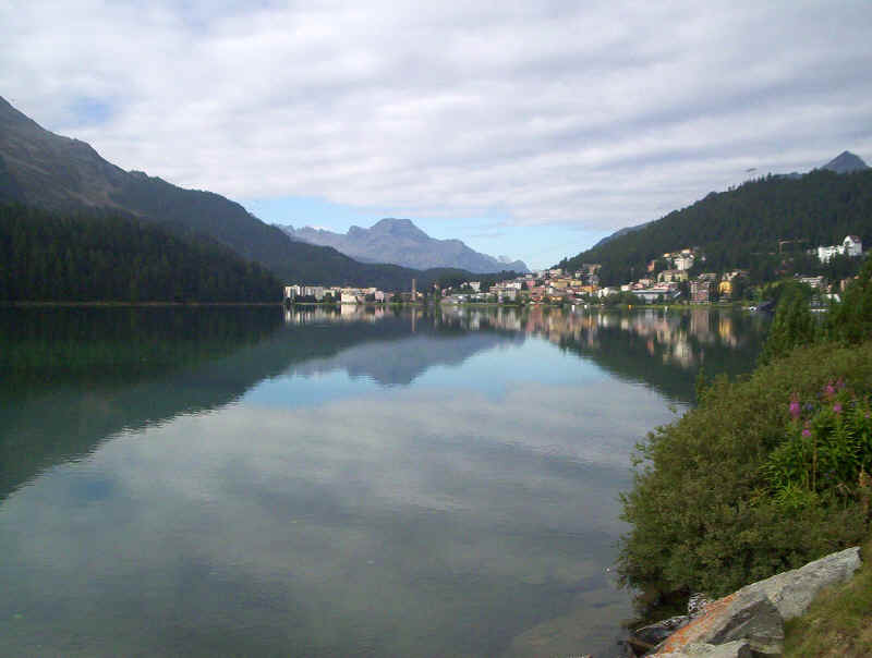
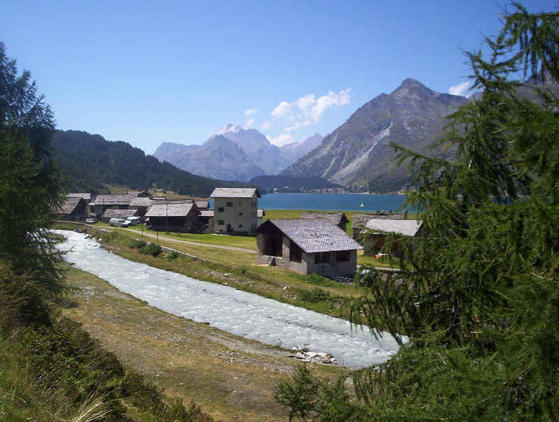
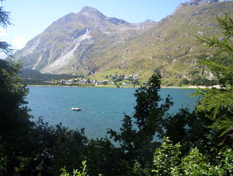
Lej da S. Murezzan
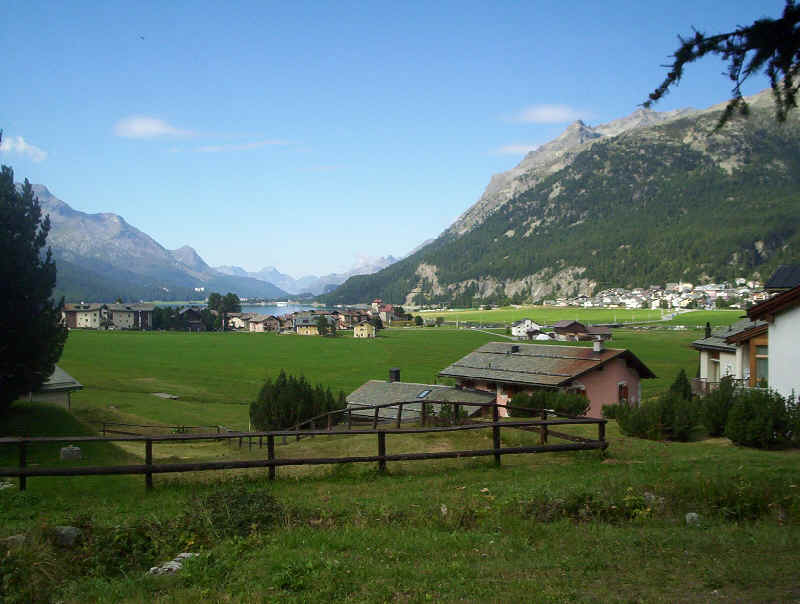
St. Moritz is not one of our favourite Swiss towns - its main redeeming feature is its lake and the mountain backdrop of Piz Julier and Piz Nair! Our time from Samedan to St. Moritz was 1h 30m.
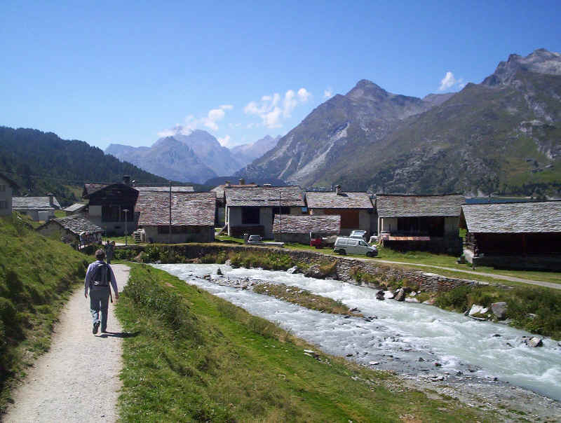
The next day we started from St. Moritz station and walked along the lakeside to St. Moritz Bad.
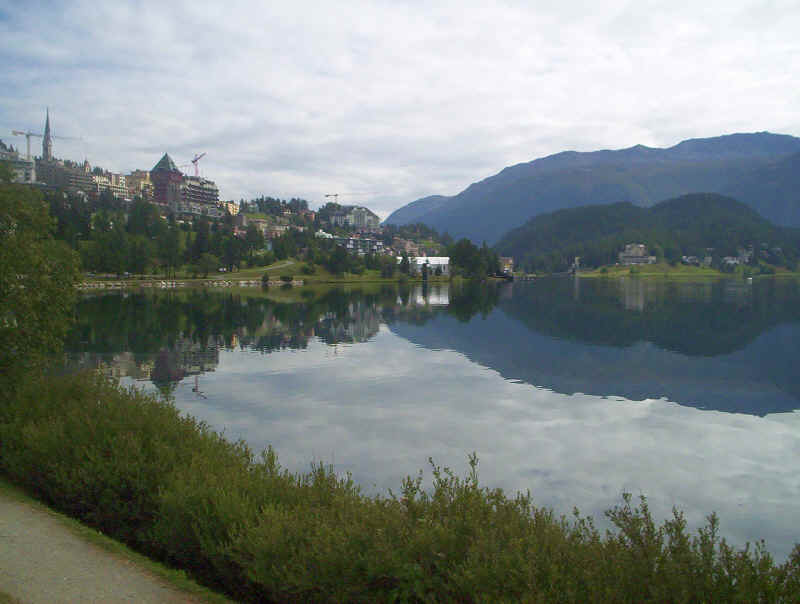
Looking back towards St Moritz
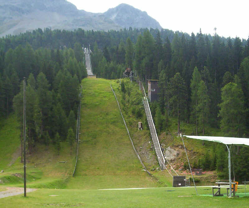
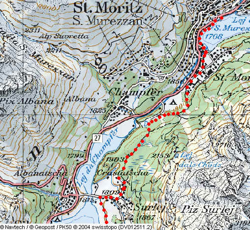
From near the Signalbahn cable car station a broad path/ cycle track signposted to Silvaplana goes past the Olympic ski jump as far as Lej Marsch.
Lej Marsch
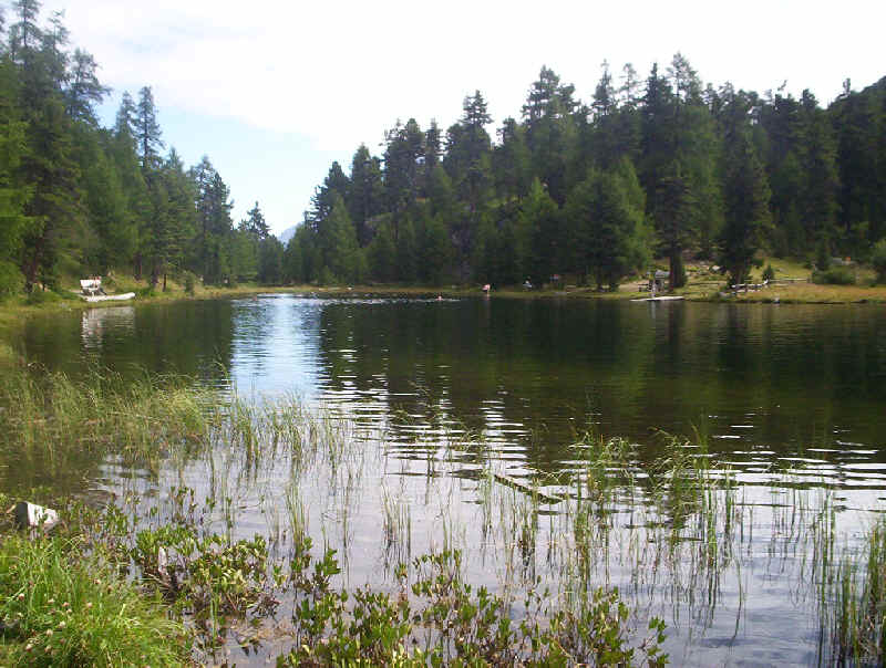
Here we took a path signposted Surlej (1h) which climbs up through the woods to another lake, the Lej Nai. At pt 1864 a path to the right of the lake is signposted Surlej (30 m).
This then drops down to reach the village of Surlej.
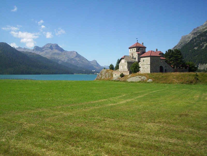
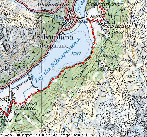
The Schloss (castle) of Crap da Sass and beyond Lej da Silvaplauna
Lej da Silvaplauna looking up the valley.
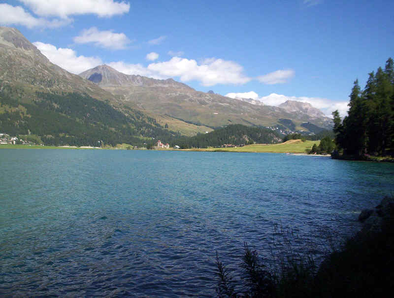
Lej da Silvaplauna looking back towards the Crap da Sass.
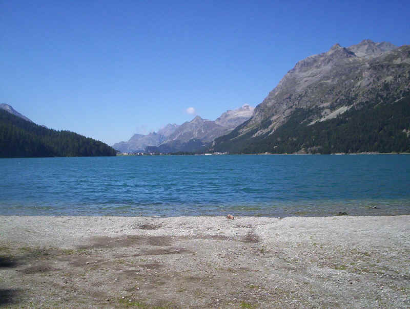
The walk along the lakeside is about 1h 30m and on a sunny day was very busy, especially with cyclists, who expect you to get out of their way! At the end of the lake, we took a path that leads along the edge of woods to Segl/ Sils Maria past the Furtschellas cable car station. A short distance along the paved lane leads to the village of Sils Maria with its numerous hotels.
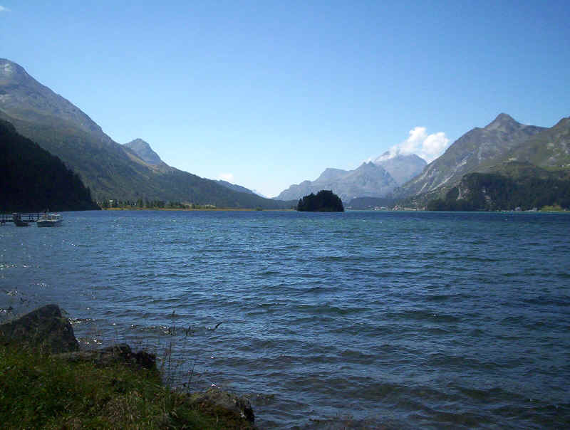
Lej da Segl
.......to reach a path that heads across meadows to the end of the next lake, the Lej da Segl. The signposts suggest that it is 1h 45m to Maloja. My guide book also stated that the path is almost level – it is NOT! In two places it climbs up quite high above the lake to avoid cliffs.
The path starts at water level but climbs quite steeply in places through woods before....
.....dropping down about halfway along the lake.......
.......to the small hamlet of Isola where a torrent cascades down from the Val Fedo.
Isola
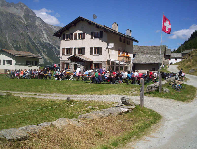
What the Swiss do on a sunny day. The restaurant at Isola
Beyond Isola the path turns into a track. This view is looking back down the valley. Eventually the path comes to the outskirts of Maloja and it was just a few minutes walk to the Post bus stop. Our walking time from St. Moritz had been about 5h 30m.
The outskirts of Maloja and the Lej da Segl.
Despite what we’d thought beforehand this day’s walk had been a real highlight, but do walk it when the sky and lakes are blue!