Signalbahn to Bever via Pass Suvretta
The walk from the Signalbahn cable car station above St Moritz to Bever, via Pass Suvretta, is one of the classic walks of the Upper Engadine, and one that I've wanted to do for several years. It's advisable to do it on a fine day as there are no escape routes and no possibility of shelter.
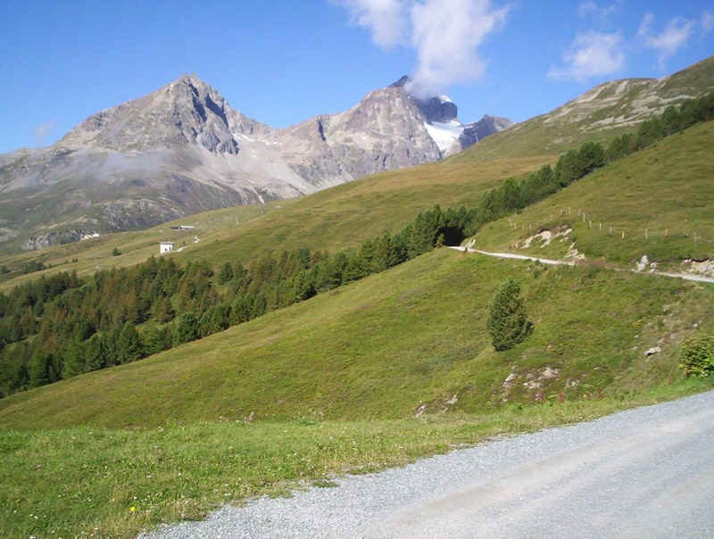
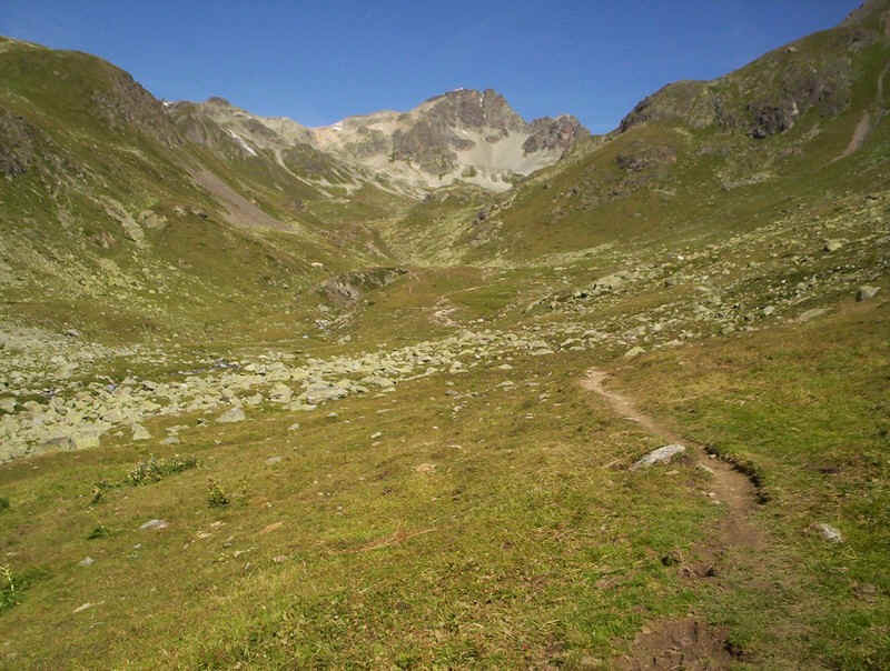
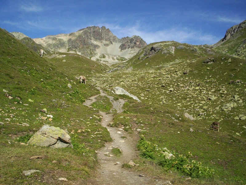
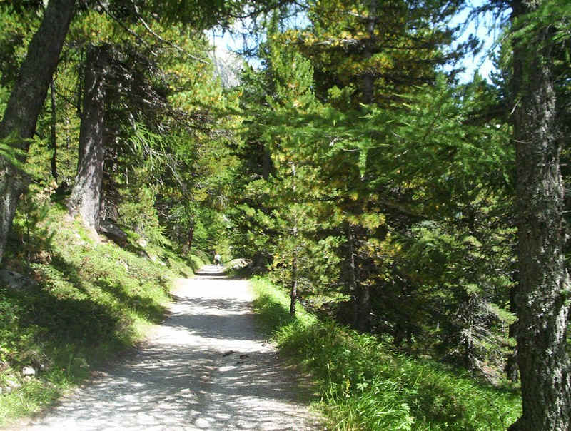
The path leaves the Signalbahn along this broad track, following the signs to Alp Suvretta and Pass Suvretta.
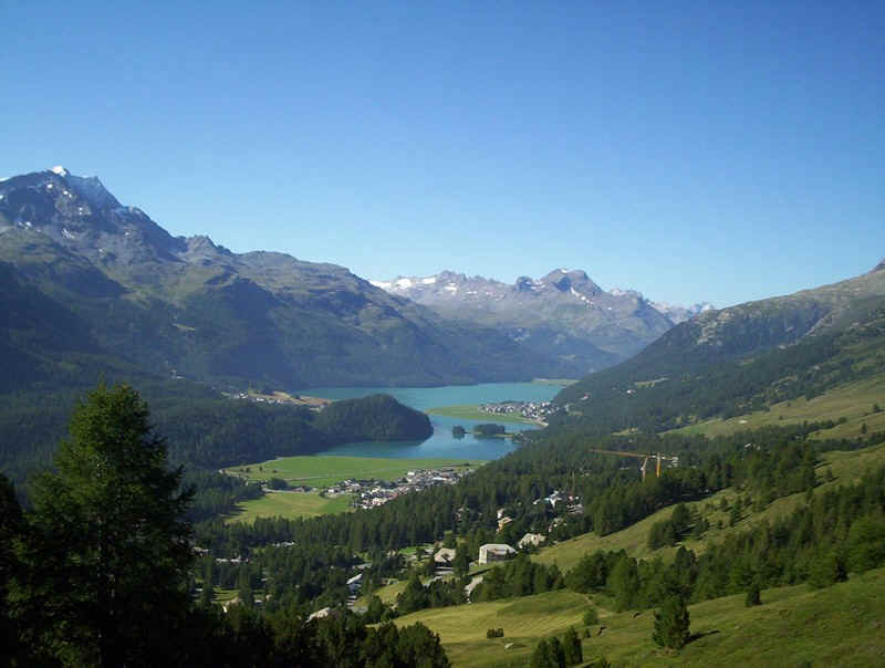
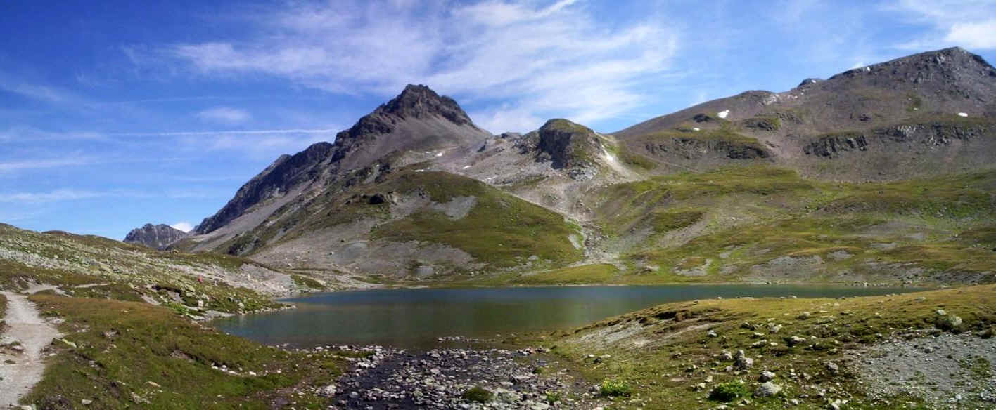
Ahead is the small Lej da Champfer and ,beyond, the larger of the two lakes, Lejda Silvaplauna. Over to the left is Piz Corvatsch at 3451m
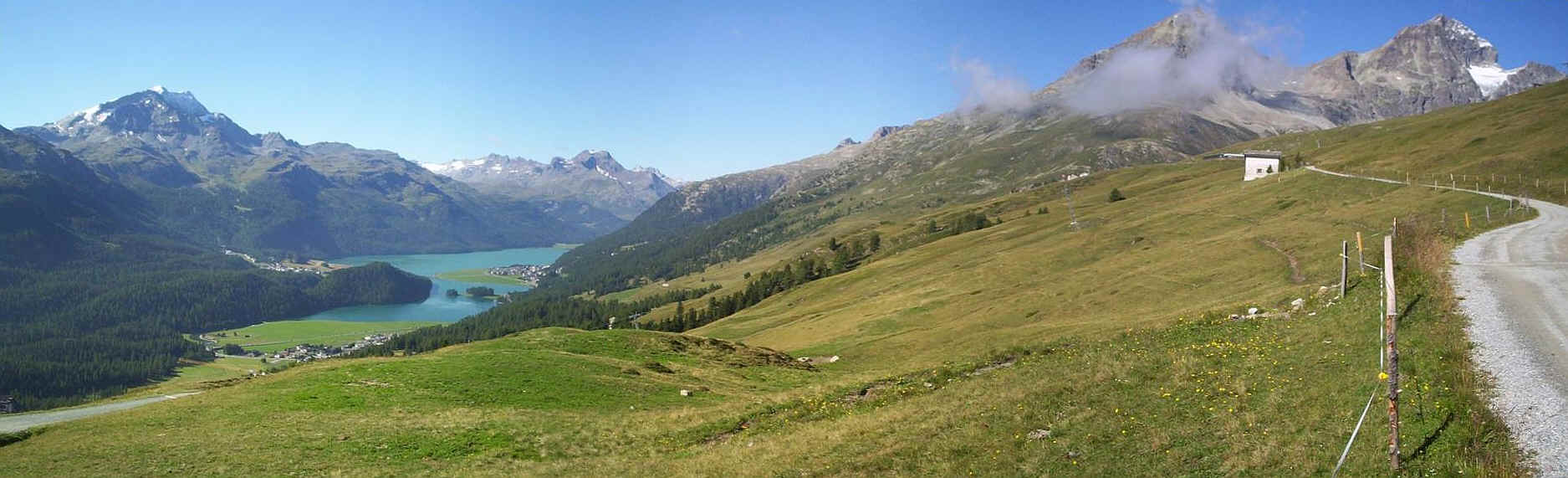
Above is a panoramic photo of the view as the path heads gently uphill - click on it for a larger image.
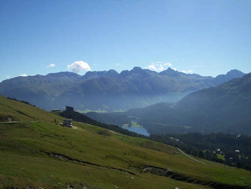
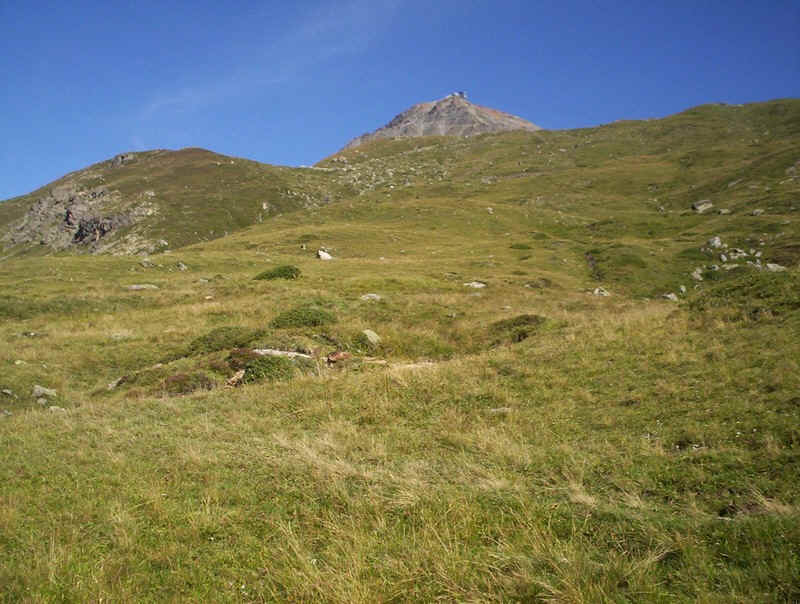
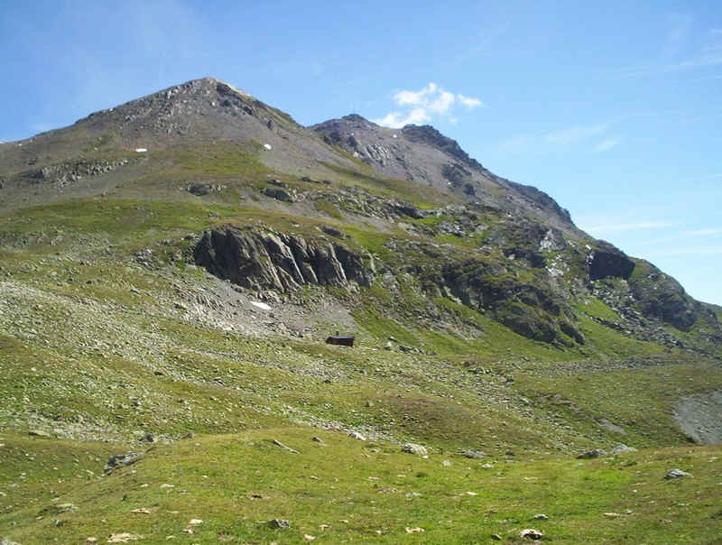
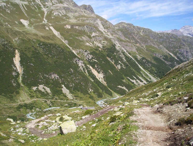
Looking back to the cable car station, with the mountains above Samedan and Pontresina, and the lake down at St Moritz.
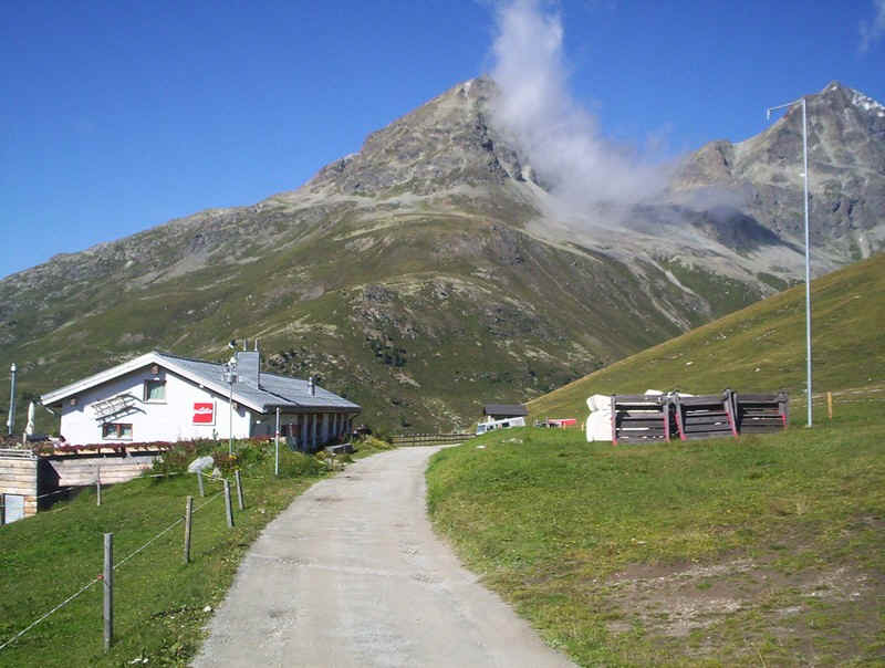
"El Paradiso" is the last refreshment stop before Spinas, several hours walk away. Be warned though, coffee is very expensive here. Beyond, are the twin summits of Piz Albana, on the right, and Piz Julier (3380m) on the right.
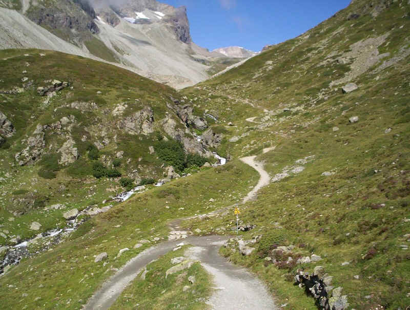
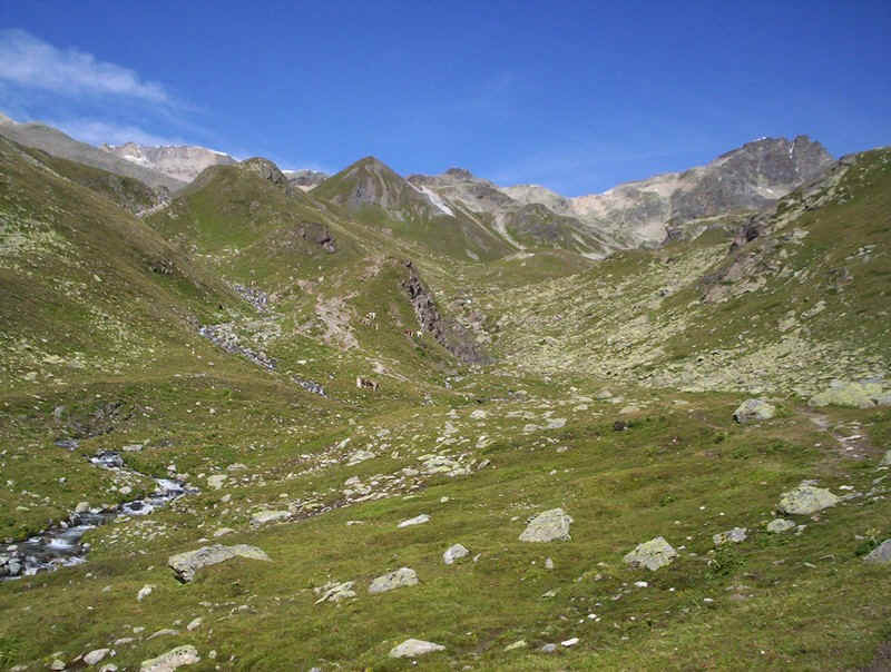
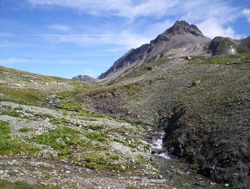
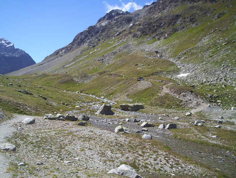
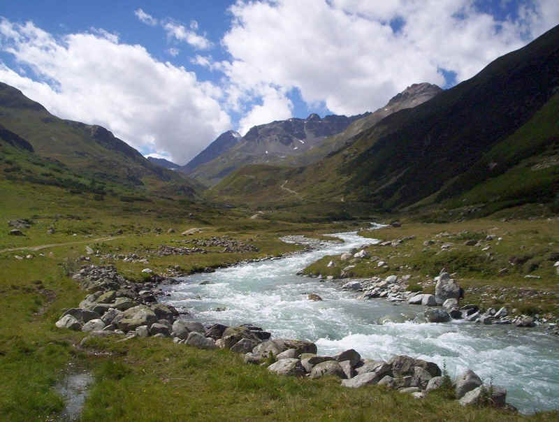
The track heads up by the side of the Ova da Suvretta stream.....
......to the barns at Alp Auvretta.
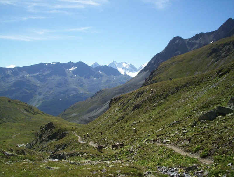
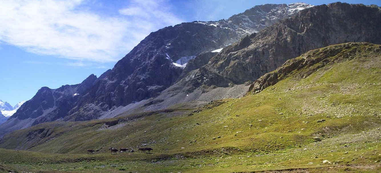
Looking across the valley, with Piz Roseg, shining white in the distance, and Piz Corvatsch to the right.
To the right of the path, the summit of Piz Nair (3056m) can be seen.
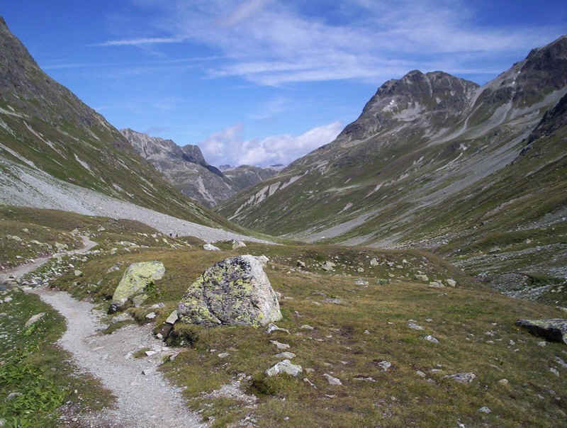
Beyond Alp Suvretta the Via Engiadina path heads off to the left but the track to the Pass carries straight on.
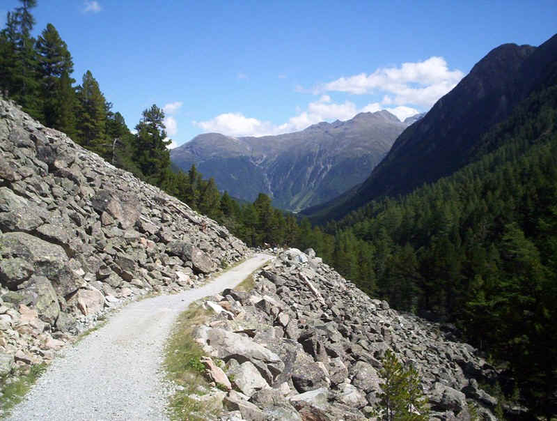
The path climbs steadily uphill towards this rockfall.....

.......which is truly enormous...
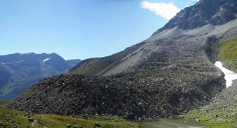
......and once passed, it's clear how the stream, which flows underneath it, has formed a small lake behind the debris. This had come crashing down from the cliffs of Piz Julier relatively recently.
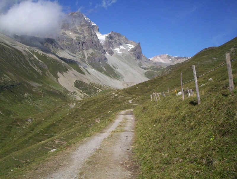
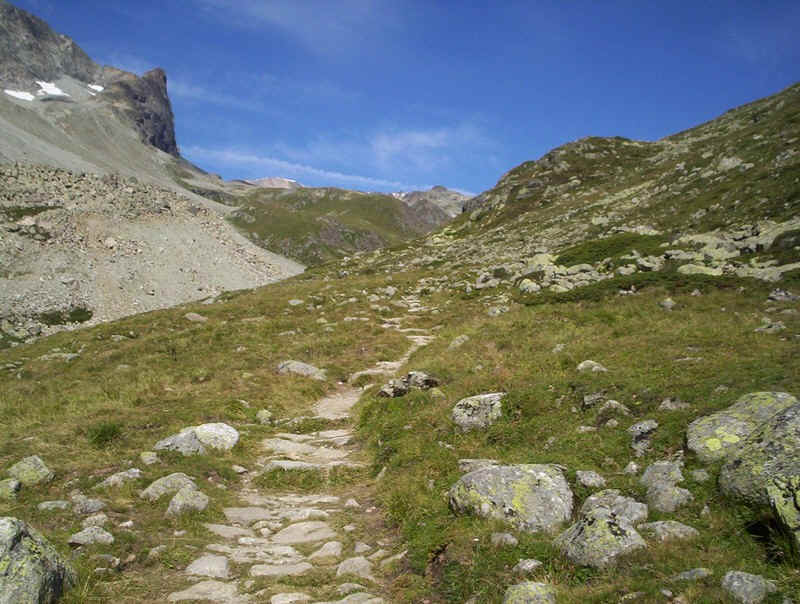
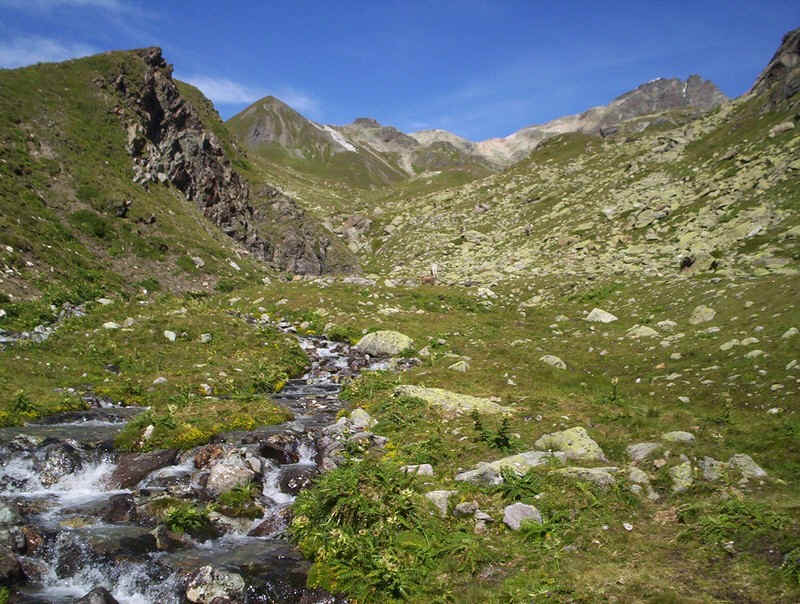
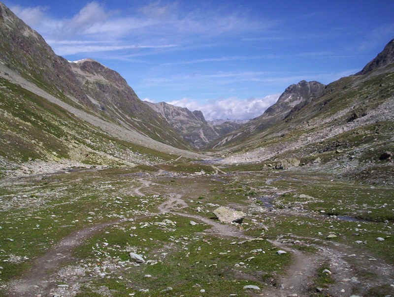
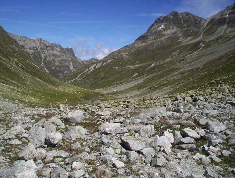
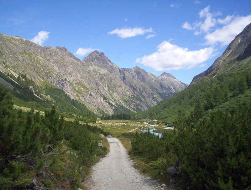
The path now enters the Suvretta da San. Murezzan, a high valley leading to the pass.
There are a series of strangely shaped mini-peaks along the valley side....
.....the first of which, the path clambers up after crossing the stream.
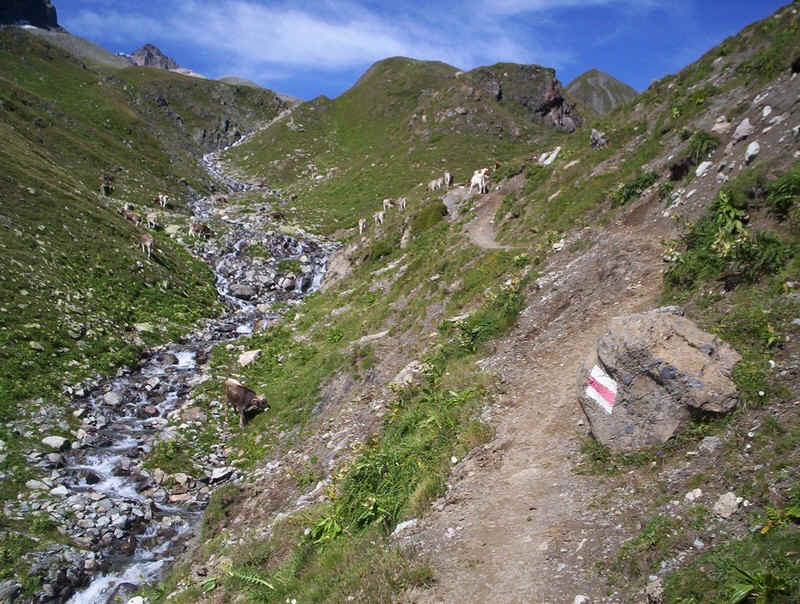
Cattle were grazing here and, in places, had eroded the path quite badly.
The path continues between a series of drumlins....
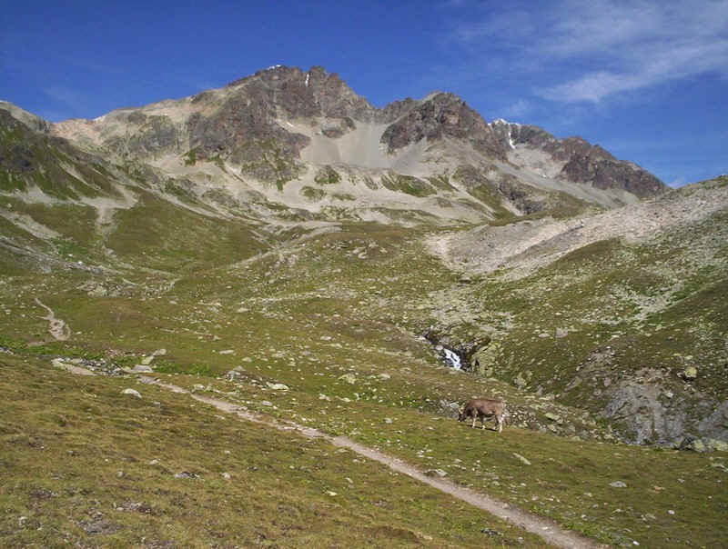
....as it climbs steadily uphill. A glance back now reveals the mighty Piz Bernina; at 4049 metres the highest mountain in the area.
Click on the panorama to see a larger image of the view down the valley.
As the path climbs to the pass, it turns from a north-westerly to a north-easterly direction and the gradient eases.
Over to the right of the path is the bulk of Piz Nair (the black peak).....
.....whilst to the left is the towering bulk of Piz Julier. The only way to climb this mountain is on an Alpine path, which leaves the path up from Alp Suvretta near the rockfall. It looks a path for the really experienced!
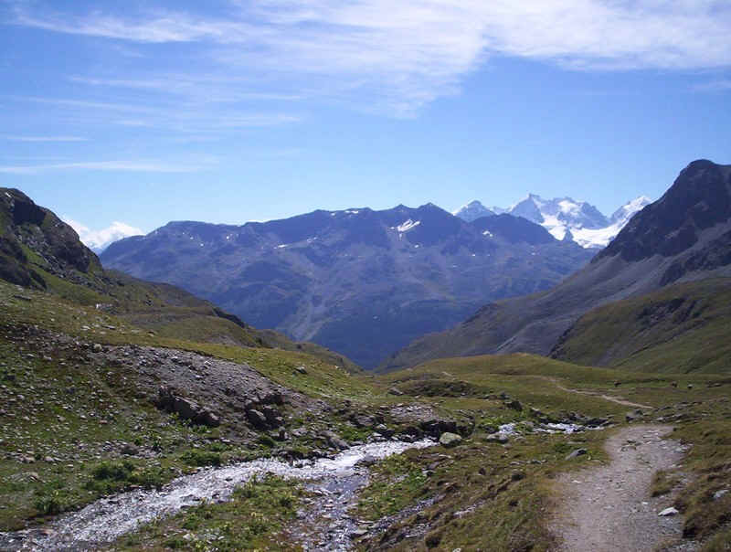
The summit of the pass comes into view, whilst to the right is Piz Corviglia.
Almost at the pass, and a last look back down the valley.
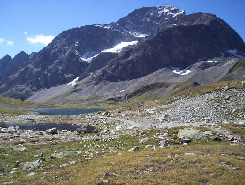
Just below the pass is the Lej Suvretta, which wasn't quite still enough to really reflect the mountains properly.
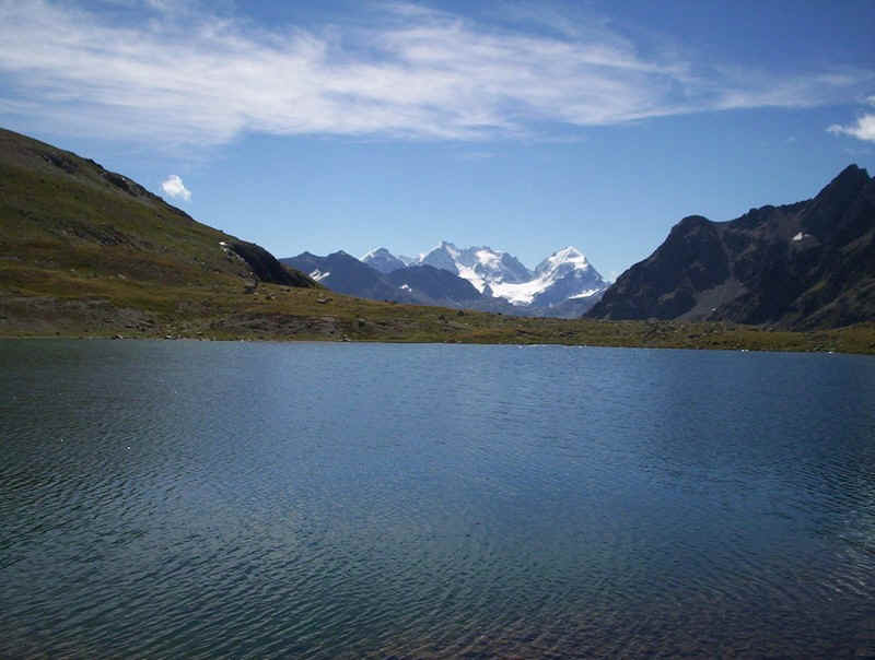
Lej Suvretta with the magnificent three mountains of Piz Morteratsch, Piz Bernina and Piz Roseg and the glacier of Vadret da Tschierva
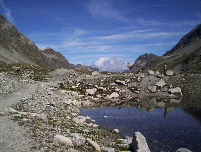
The path sign at Pass Suvretta is a true crossroads....
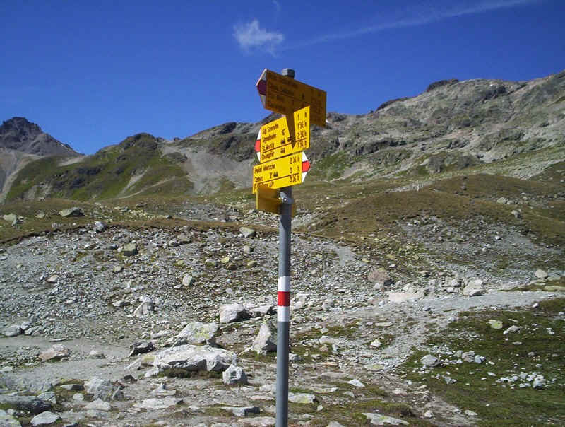
.....with routes up Piz Nair and across the Fuorcla (col) Suvretta to a mountain hut at the top of the Val Bever, into which my route eventually drops. A path for the future, I think.
A final look back from the pass at Piz Julier - the alpine path reaches the summit around the back of the summit.....
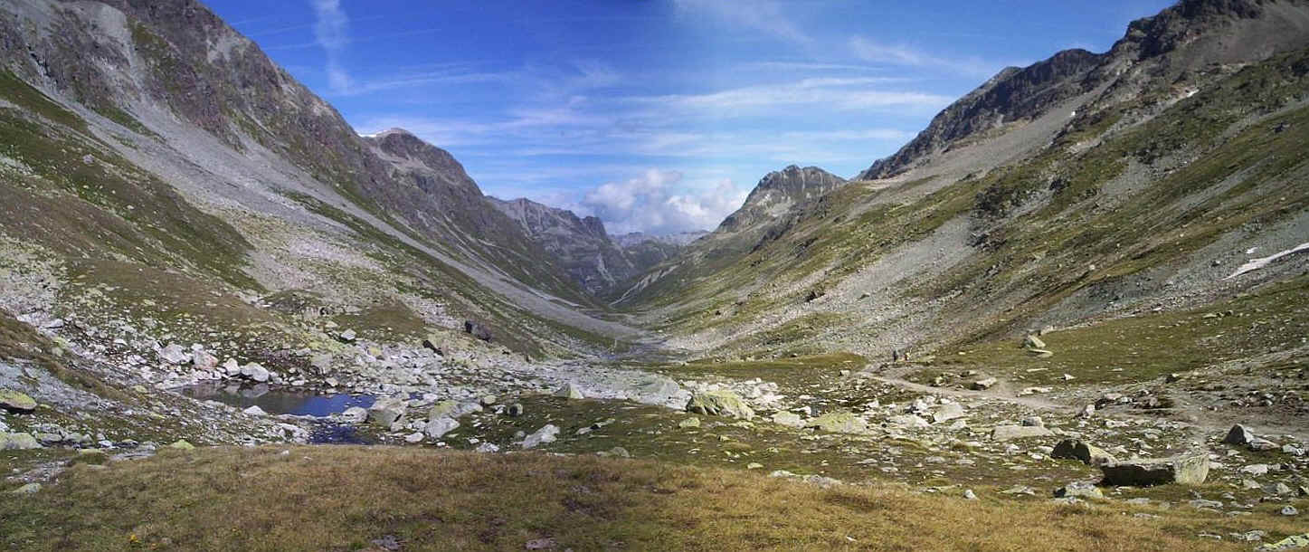
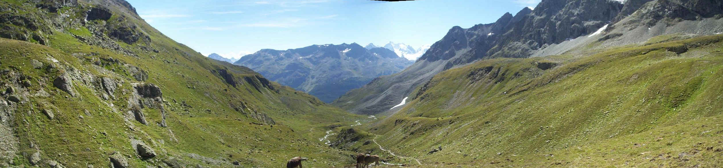
From the pass (at 2615m) this panoramic photo shows the utterly unspoilt nature of this route through the mountains. Click on it for a larger image. Despite this mobile phone reception is excellent throughout this walk.
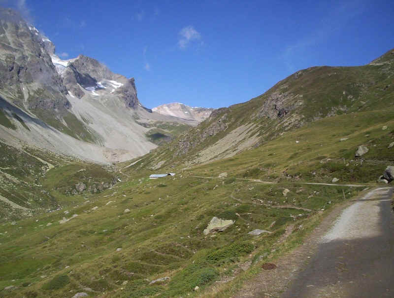
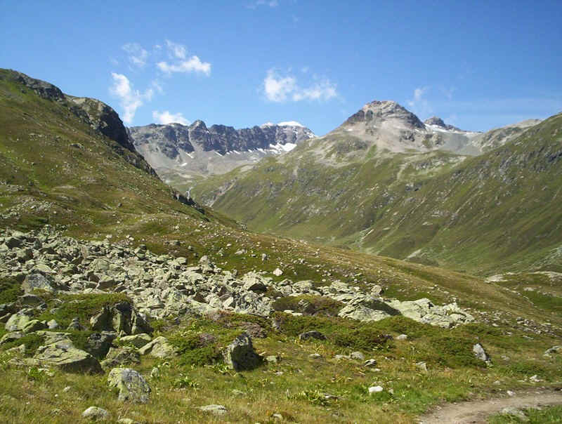
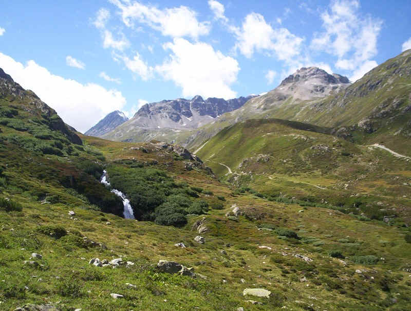
Dropping down from the pass, gradients are easy. The valley , the Suvretta da Samedan, is a "hanging valley" and later drops steeply down into Val Bever.
The path is broad and, favoured by cyclists, so one needs to stay alert
Looking back it was obvious that crossing this stream could result in wet feet if there's been a lot of rain. Clearly, several Swiss walkers I saw trying to cross it weren't used to crossing broad streams. They should come to Britain!
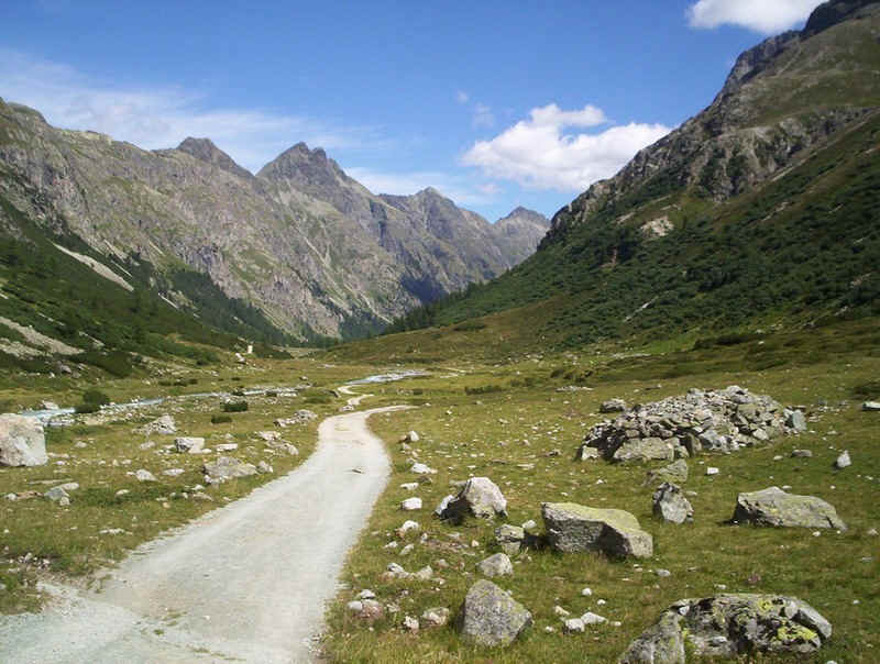
The valley continues to drop and it's becoming obviously steeper now, as it bends to join Val Bever
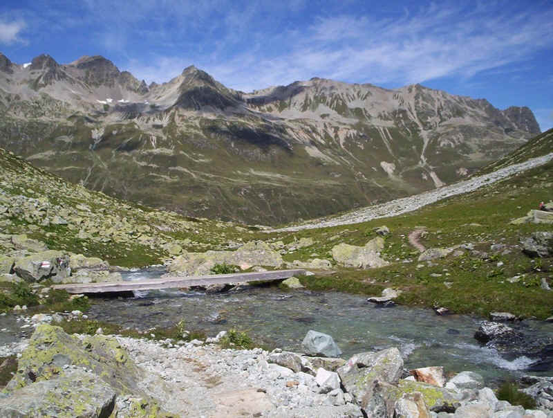
Where the path crosses the stream further down there are footbridges; here the valley can be seen about to drop steeply down into Val Bever.
Looking up Val Bever.....
.....and in the other direction the path drops downhill in a series of zigzags to the valley floor.
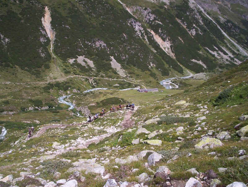
Coming up the path was a group on horseback; one of the horses was having great difficult finding where to place its hooves!
Looking back up Val Bever, the stream can be seen dropping down torrents, as it leaves the hanging valley of Suvretta da Samedan.
The end of the mountain section comes suddenly, as the broad valley track is joined.
Looking back up Val Bever with the Beverin river.
The track drops steadily downhill.....
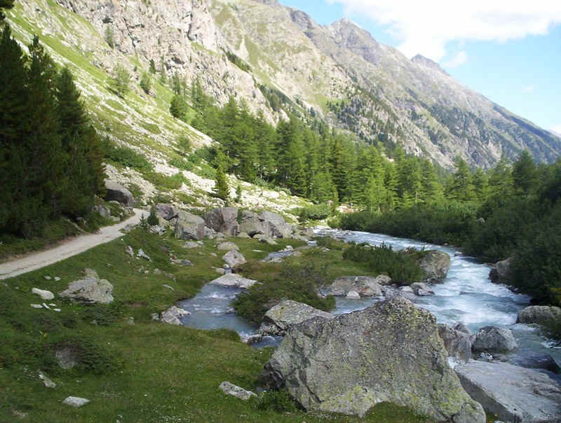
......past torrents....
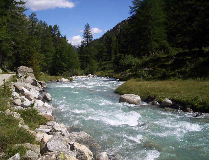
.....and rapids....
......and through woods.....
........to cross this rock fall. The final steep drop down into the hamlet of Spinas is through the dense forests seen ahead.
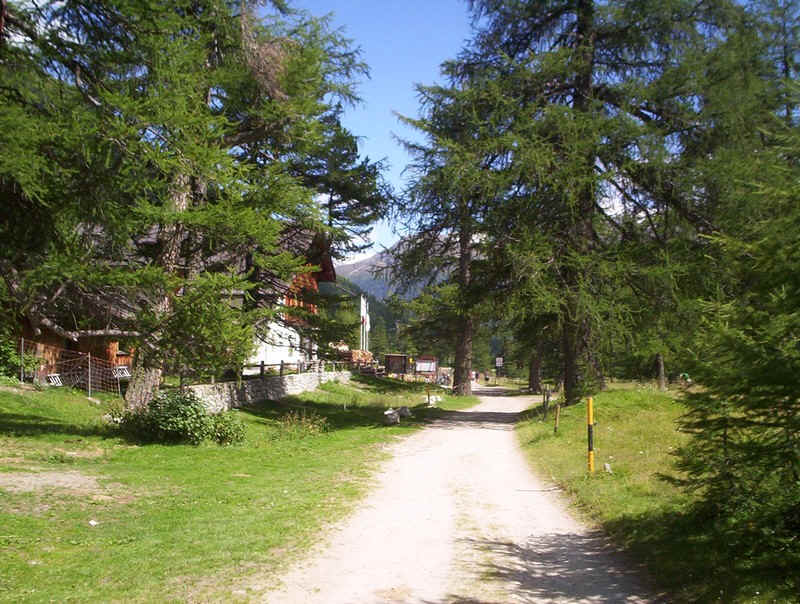
At Spinas there's a hotel and restaurant, which was extremely busy. They do a marvellous selection of "kuchen" though!
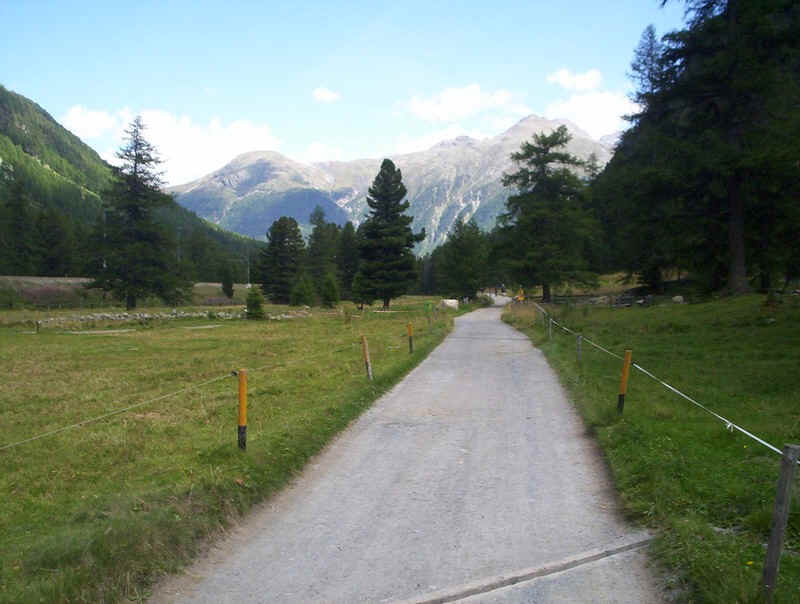
The final few kilometres into Bever are along a broad lane, which is popular with families, dog walkers and cyclists; not much fun for the hill-walker but good for getting a brisk speed up if you've a train or bus to catch.
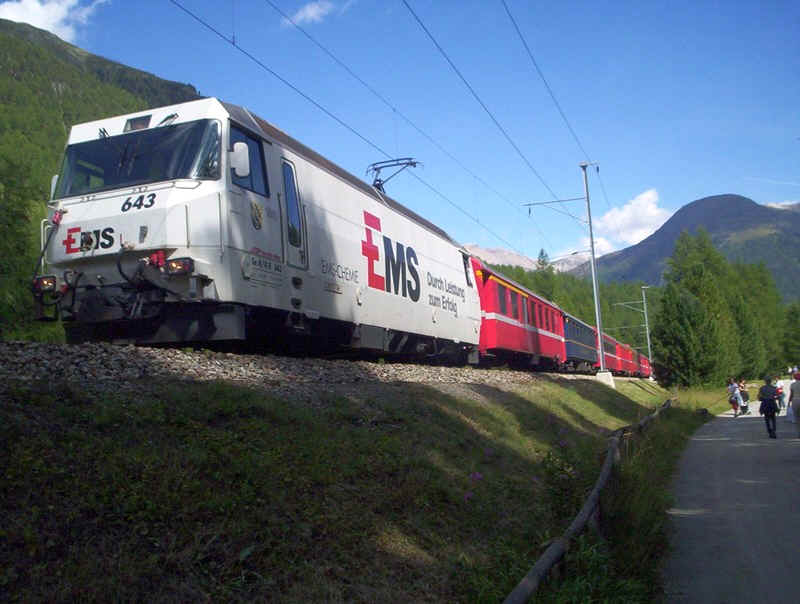
To my delight, a train from St Moritz to Chur appeared just at the right moment. The advert on the locomotive is for a large chemical works near Chur.......
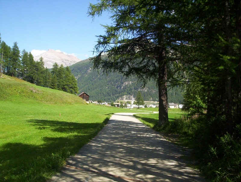
Eventually the village of Bever appeared, and I was just in time to catch the bus back to Celerina, where I was staying.
The walk had taken 6 hours including a lunch break and time at the restaurant at Spinas.