Teesdale Way
Day 4 Croft on Tees to Piercebridge (10 miles 16km)
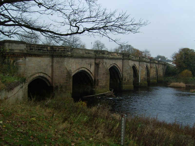
Day 4 of my walk began at Hurworth Place just across the river bridge from Croft on Tees.
Looking upstream from the bridge.
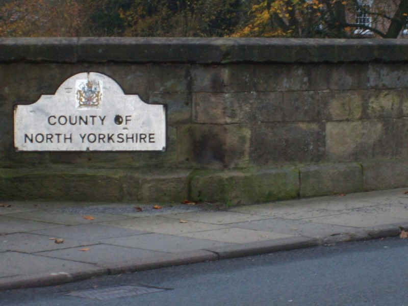
There is a brief foray into Yorkshire at this point, although the alternative section of the Teesdale Way between Hurworth and Darlington stays on the County Durham side.
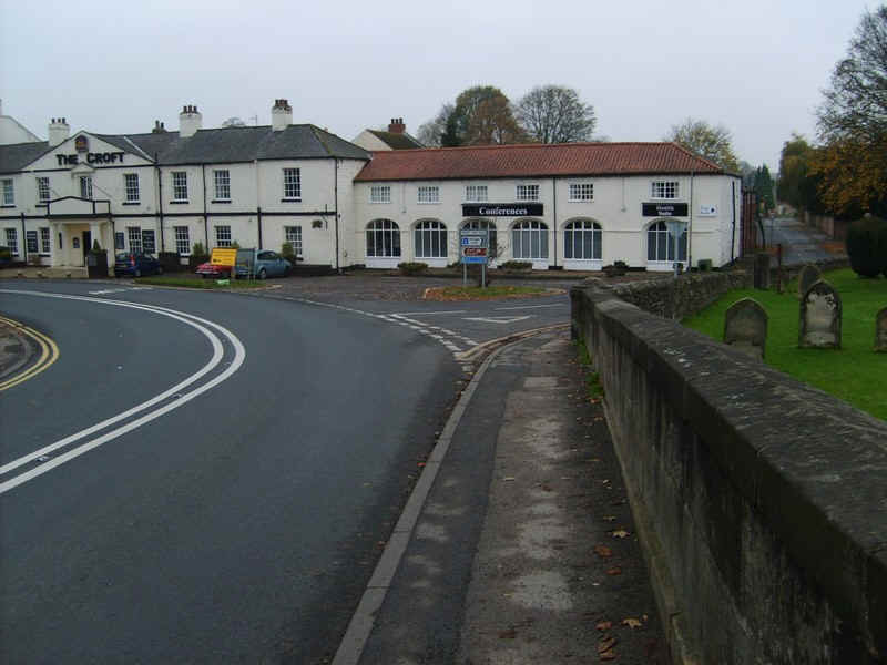
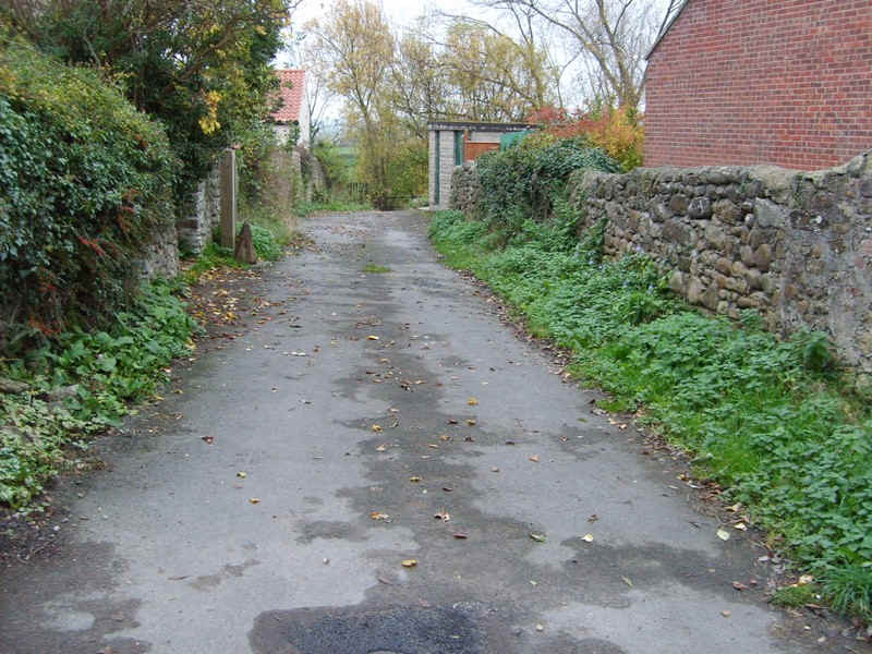
The TW cuts down a lane by the side of the Croft Spa Hotel...
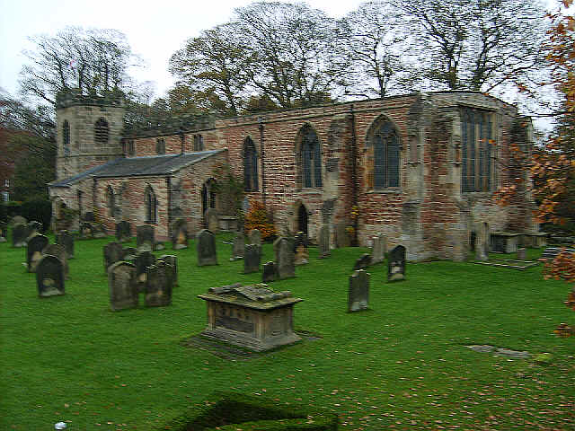
...and the fourteenth century church. Lewis Carroll lived in Croft and a carving in the church is supposed to have inspired the Cheshire cat's grin.
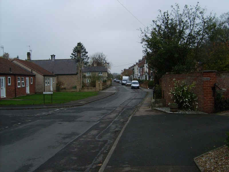
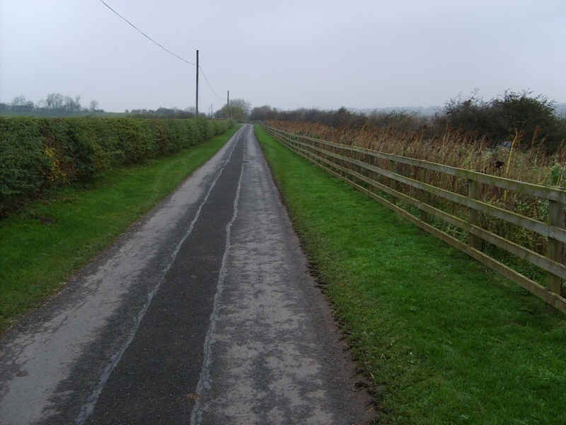
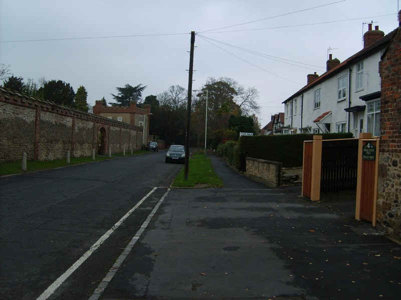
The Teesdale Way goes along the village street...
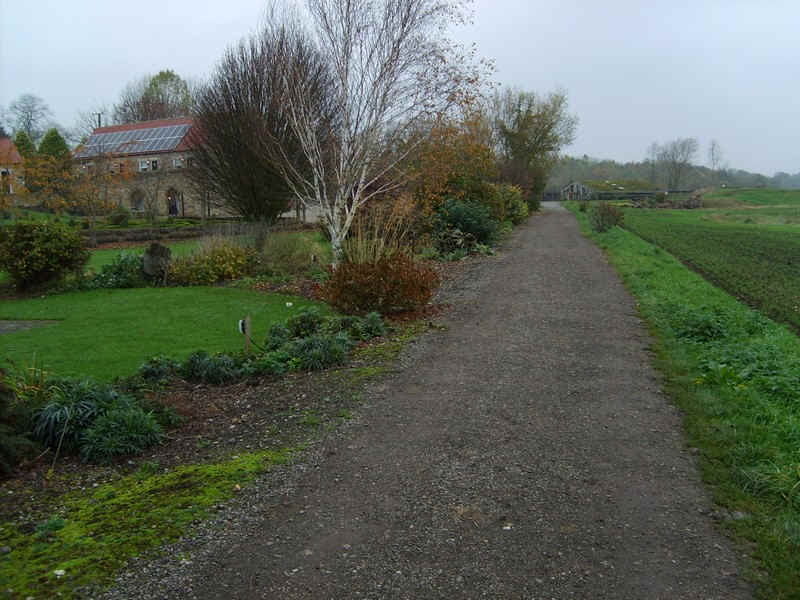
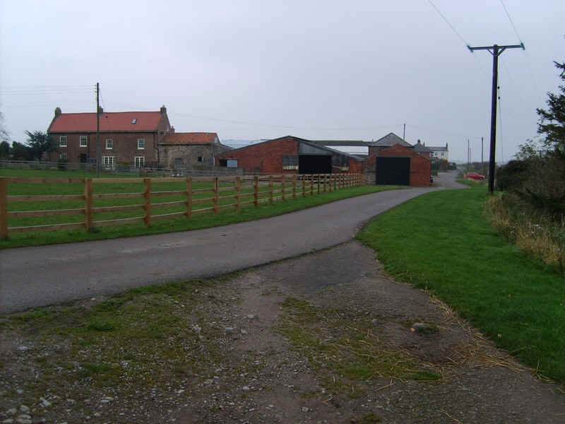
.....before passing a farm....
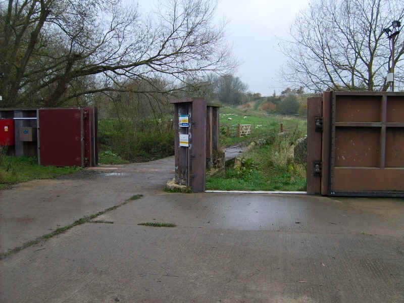
...and reaching the flood gates protecting the village.
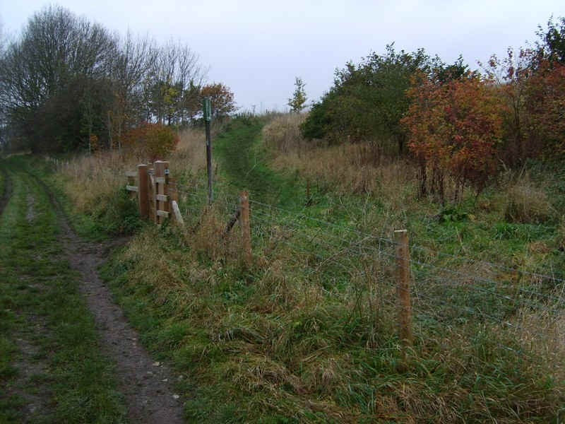
Beyond the fates the path climbs up banks to eventually reach this spot...
......high above the Tees.
The path continues.....

.....along the edge of fields and above the river....
.....to reach a paved lane at a farm that leads...
....through closely cropped verges ...
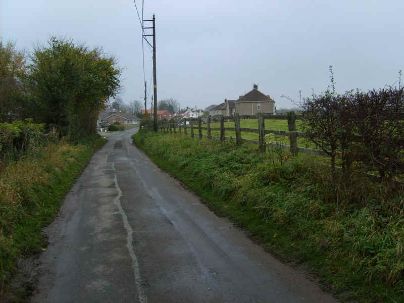
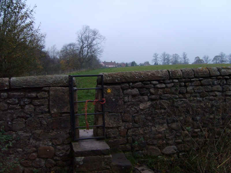
....to reach Stapleton.
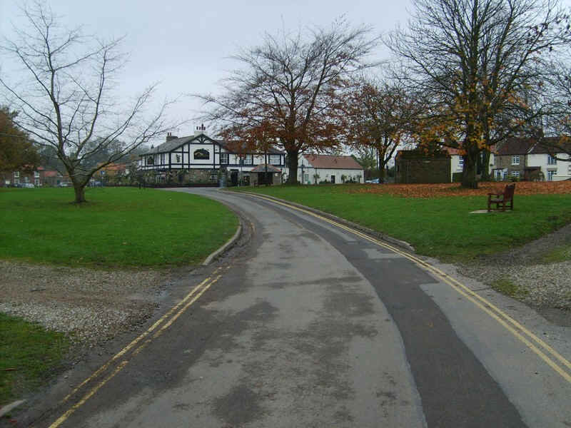
Beyond the village green.....
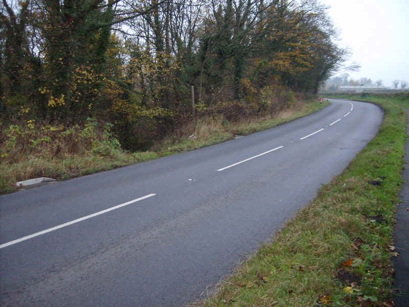
....there is a short section along the road..
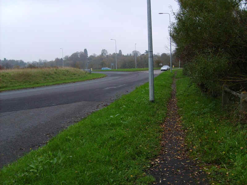
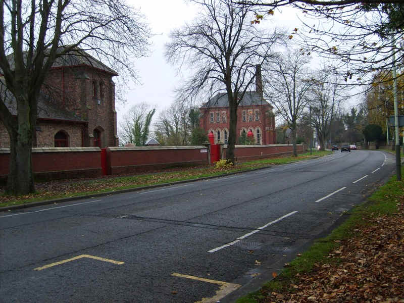
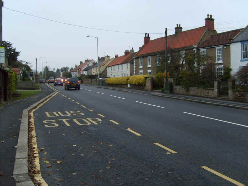
.....to reach the A66(M) roundabout on the edge of Darlington.
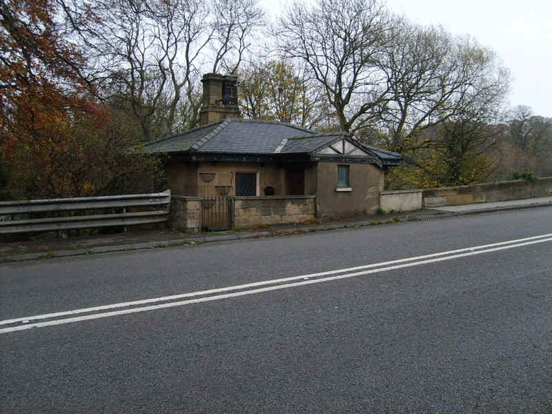
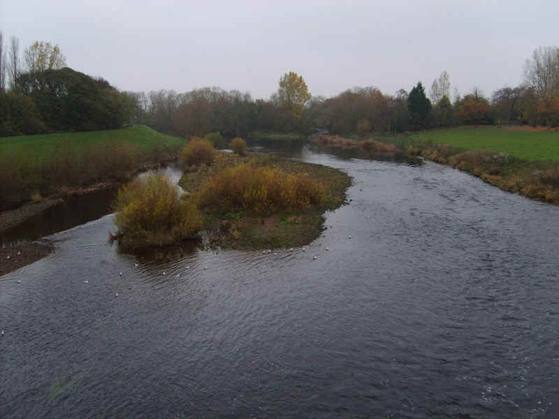
The bridge over the Tees still has the original toll house..
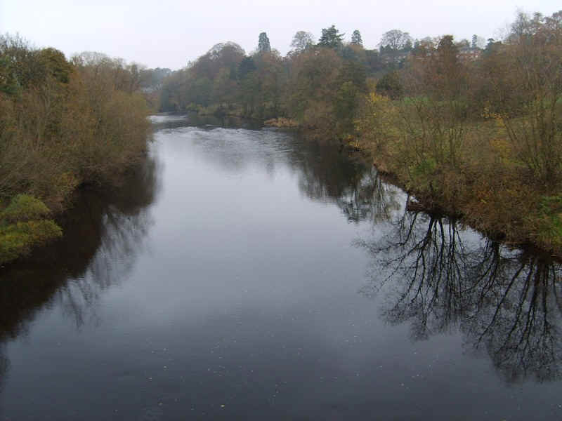
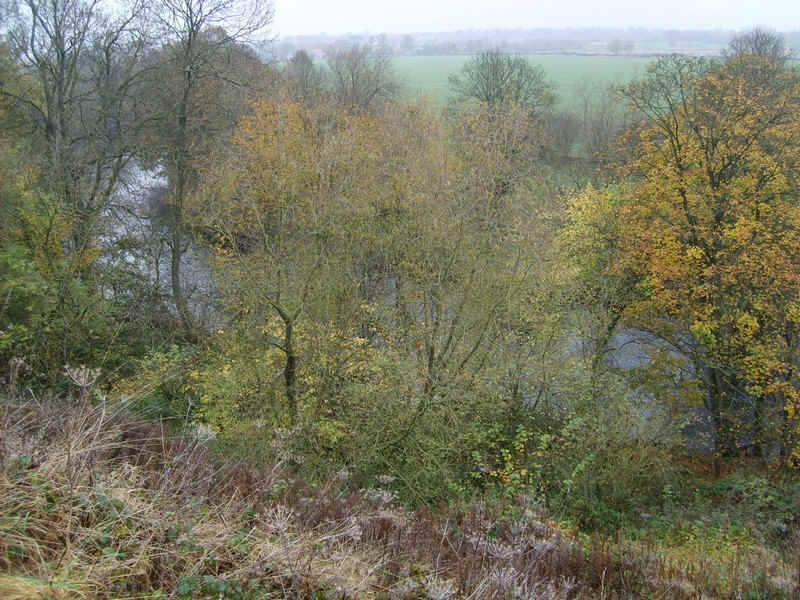
......and from the bridge is this view upstream. Once overthe bridge the Teesdale Way is now back in Country Durham.
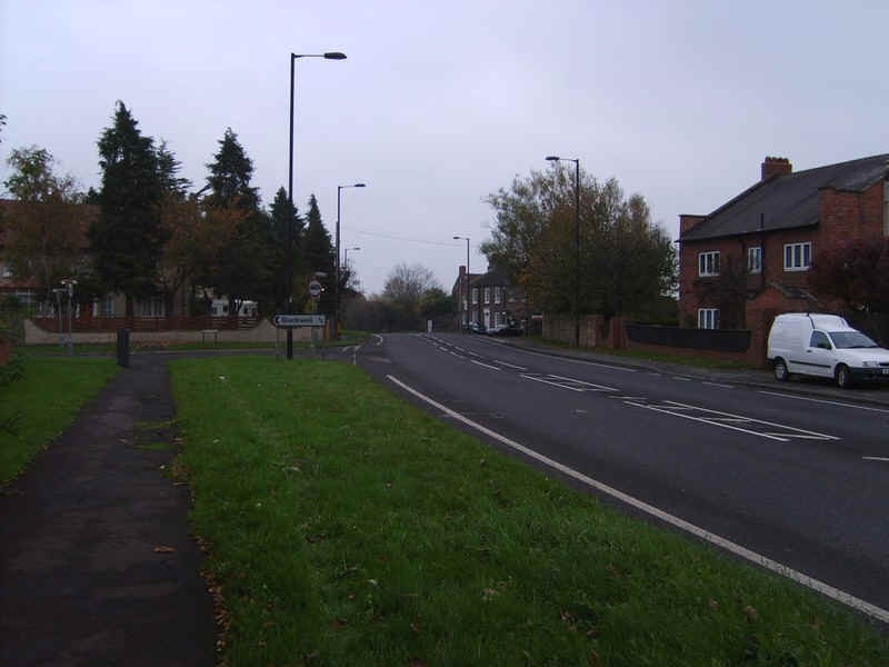
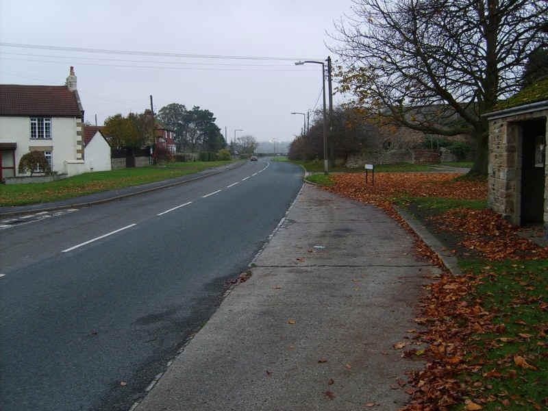
There's a short stretch along the A66 before the turning to Blackwell.
There's a large house behind this unusual wall and mock defensive turret.....
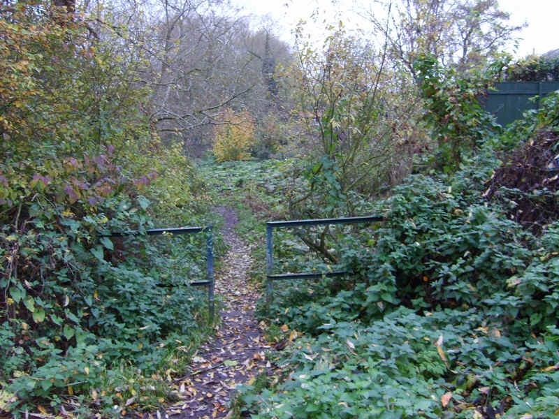
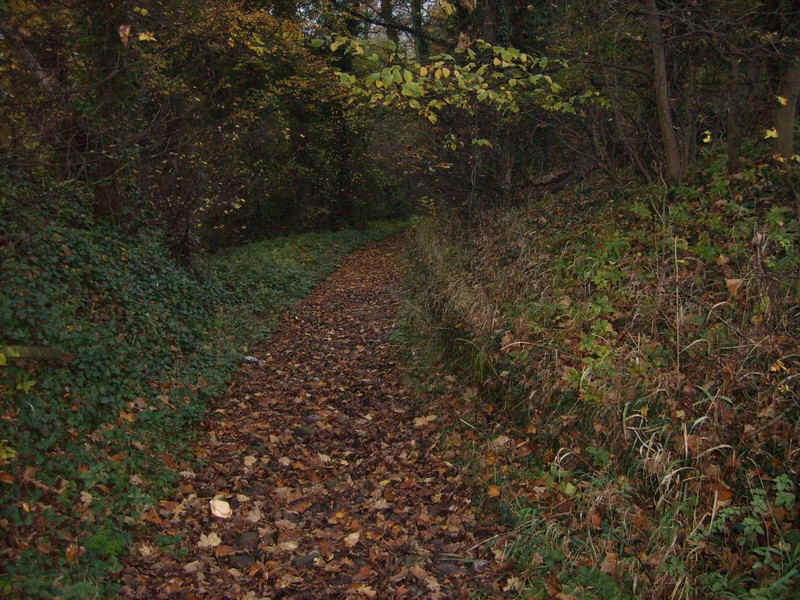
......and then the path drops down to the river through..
......woods.
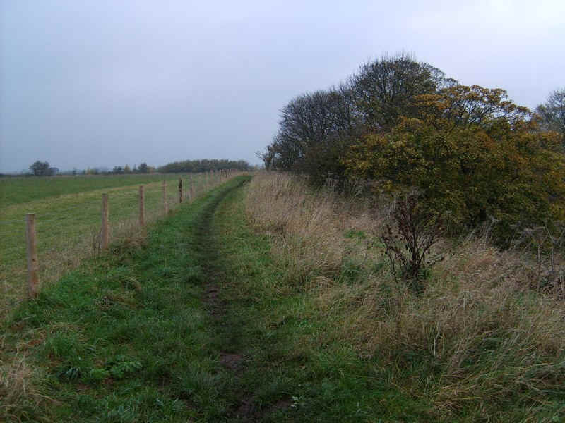
Back on the river bank the Teesdale Way follows the top of the dyke..
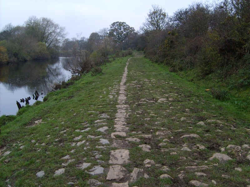
....and then along a curious cobbled section..
.....before cutting off to the right to avoid a meander.
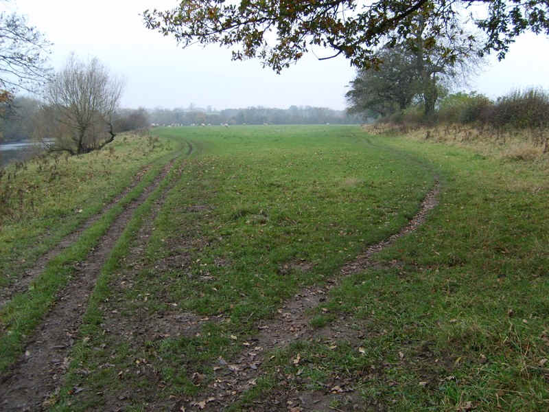
The river bank is rejoined and...
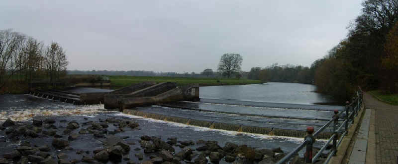
.....eventually reaches this weir, before leaving the river and joining the A67 at Conniscliffe.
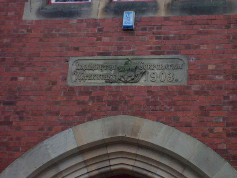
Here there is the original Darlington Waterworks pumping station, which is now preserved as a museum.
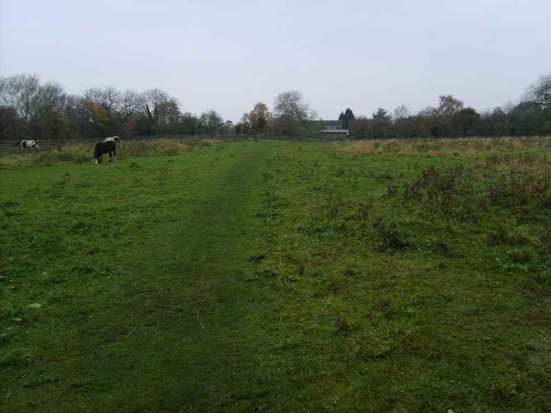
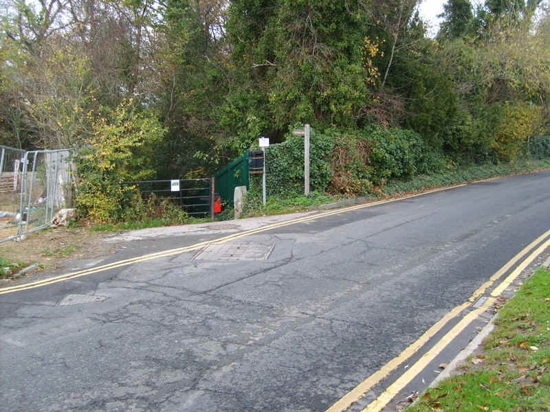
The path leaves the main road and cuts across fields..
....to Low Coniscliffe...
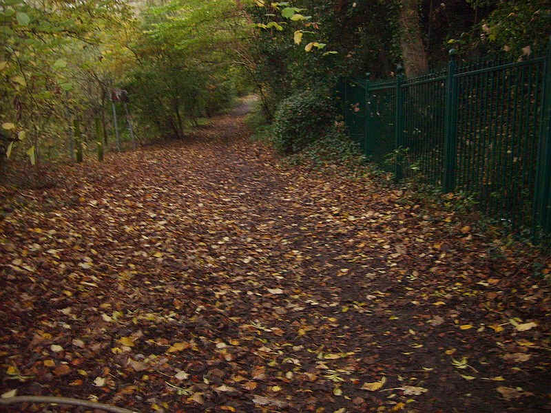
....and then down an track to the..
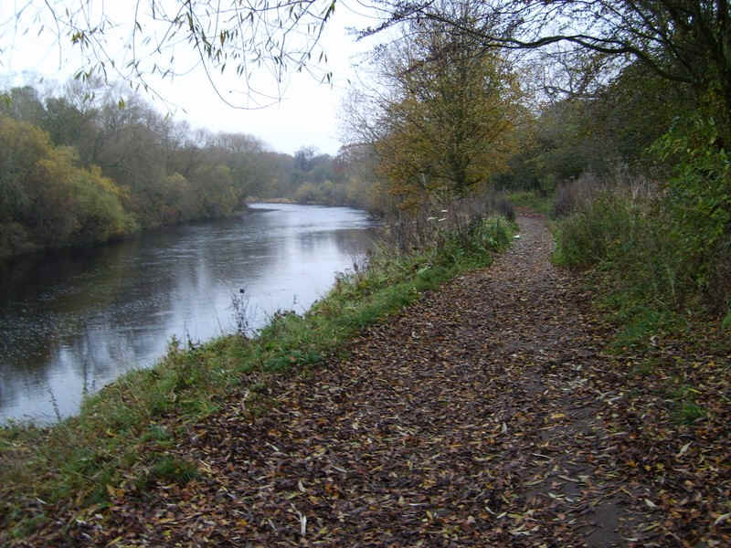
....woods by the river bank.
There is now a river side path...
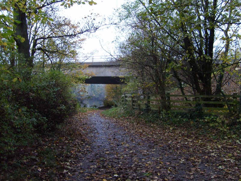
....which eventually leads under the A1(M) motorway bridge.
It is at this point that the urban landscape is finally left and after..
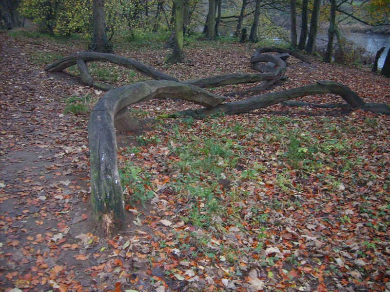
.....this unusual timber scuplture it becomes noticeably quieter and more peaceful.
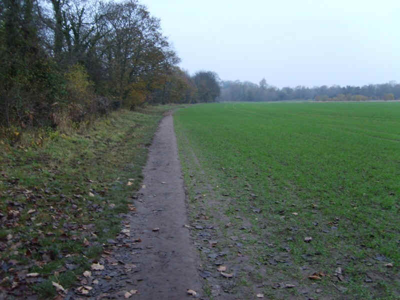
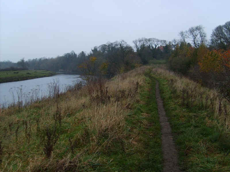
For a short section the path moves off the bank and along fields,,,,
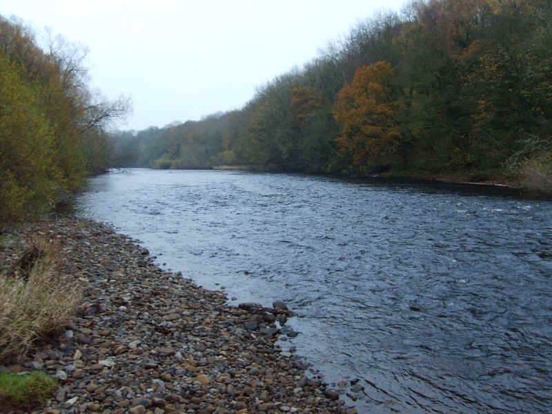
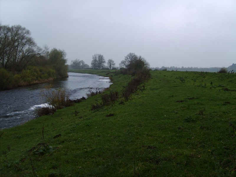
.....before there's a chance to dip your boot into the river. This is looking downstream.
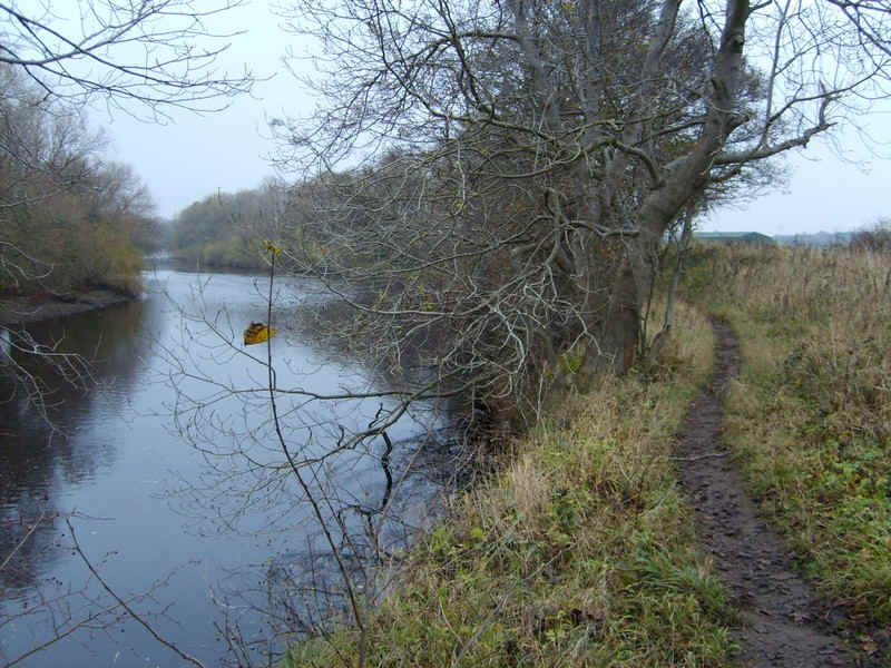
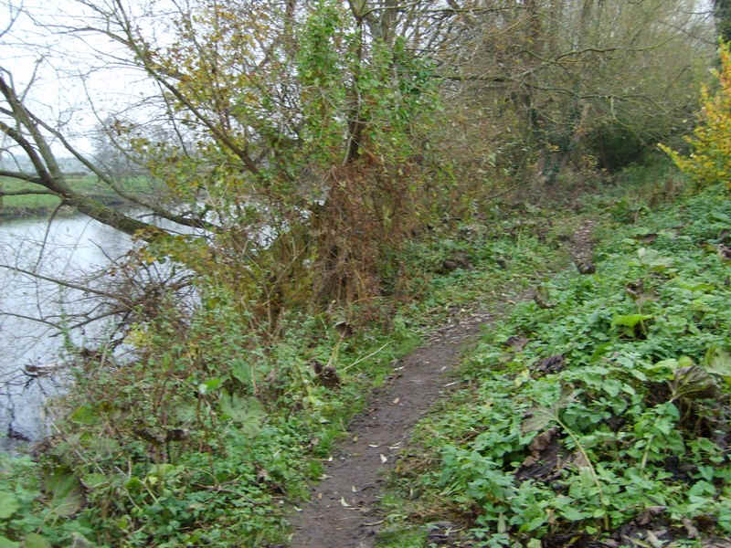
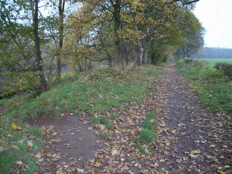
The path now follows the banks closely...
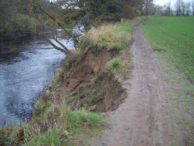
.....with occasional evidence of river bank erosion.
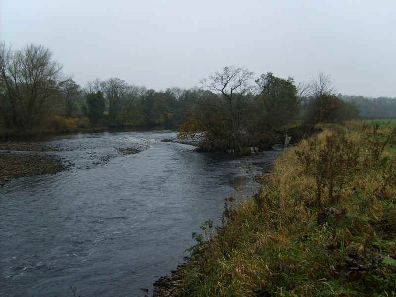
The first sign that the river is about to become less placid can be seen in these minor rapids.
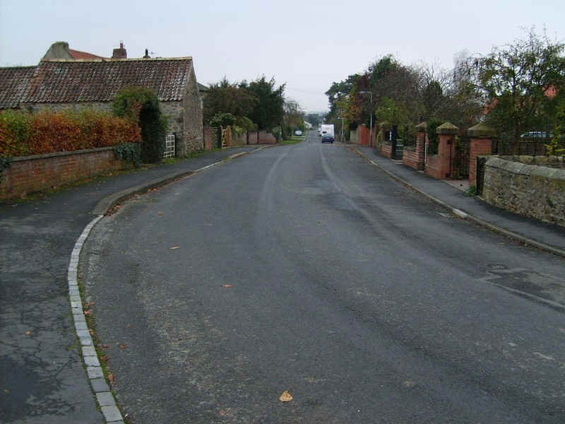
On the approach to the village of High Conniscliffe the Teesdale Way leaves the river...
....to follow the A67 through the village..
....before dropping down ....
.....through woods....
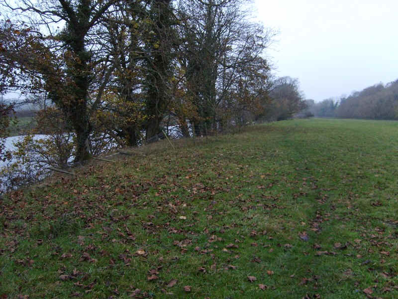
to cross meadows by the river.
On the approach to Piercebridge there is a slightly confusing section where the path appears to have been diverted away from the river and through this stile.
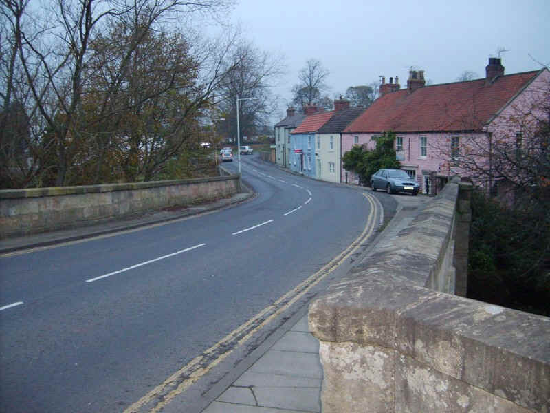
The end of the day's walk is at the bridge at Piercebridge. There are more photos of this interesting village in the Day 5 page.
Click here to go to the next stage of the walk.