Beinn Eich
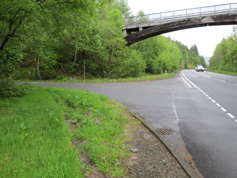
It was another early start for this walk in May 2023. I took the 06:50 Glasgow to Uig bus as far as the stop at Luss (on the main A82 bypass). Just north of the stop is a footbridge and the turning off for the lane up Glen Luss which will take me to the start of the hill walk.
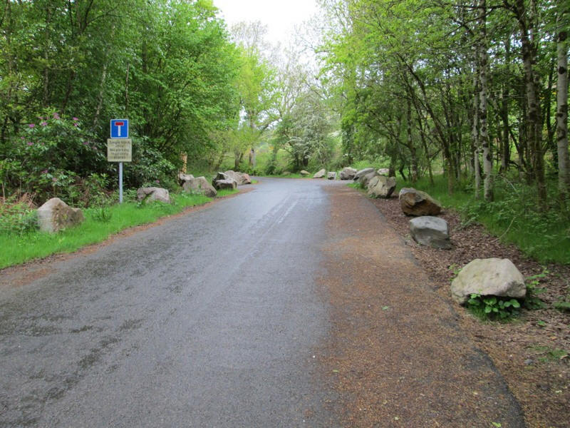
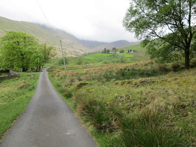
There is a walk of just over two miles along the lane to the start of the climb.
There's virtually no traffic and it's a pleasant warm up.
Over to the south in the distance is the 595m high Beinn Ruisg with the corrie of Coire Eoinein clearly visible in front of the hill.
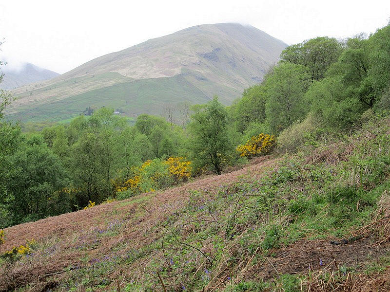
The first full view of Ben Eich appears through a gap in the trees.
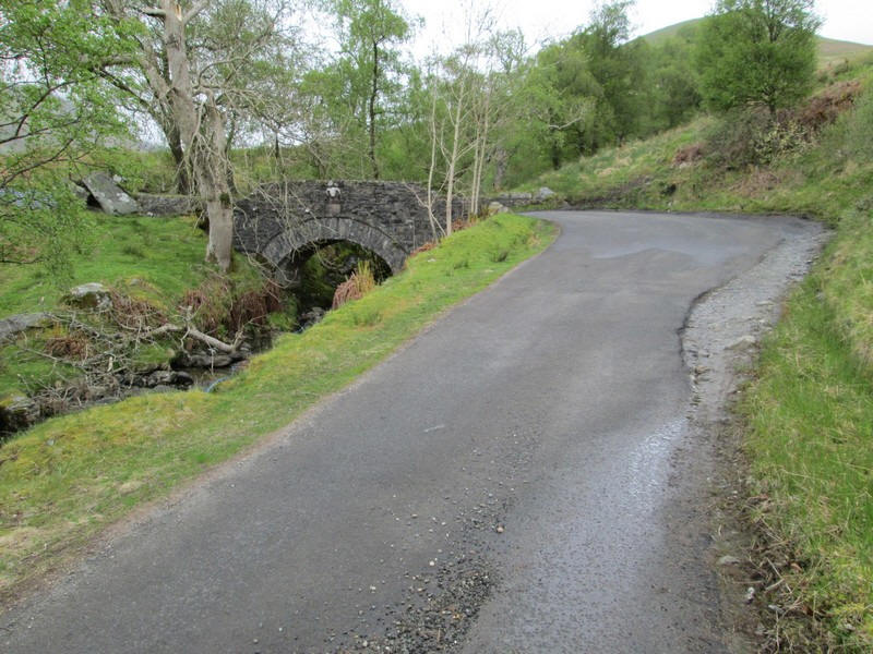
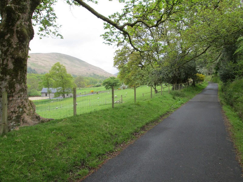
Near the farm at Glenmollochan there's a delightful bridge over the stream that comes down Glen Striddle.
Having climbed nearly 100m from Luss the lane now drops down about 30m to another stream.....
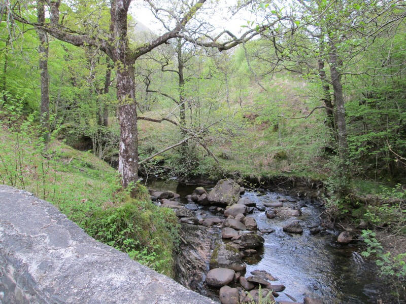
.......that flows down Glen Mollochan. The now unpaved lane climbs up the farm at Edentaggart....
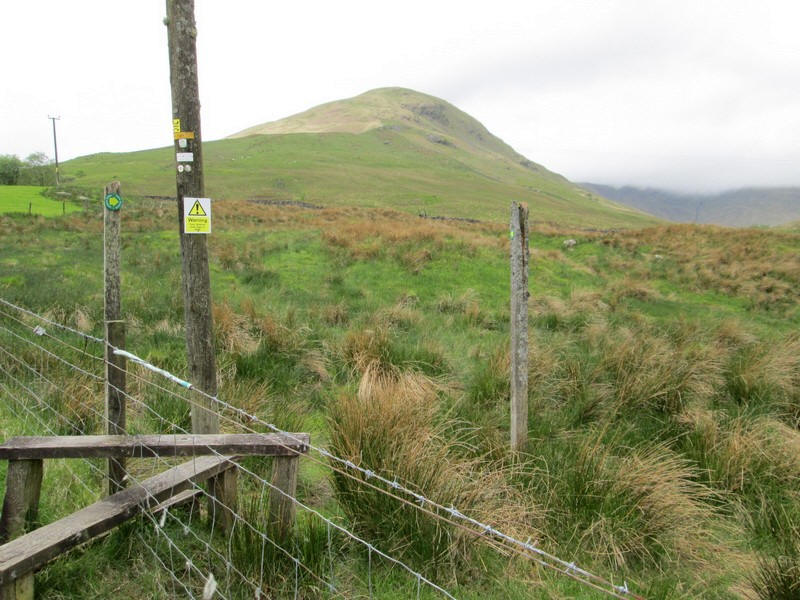
....where a stile marks the start of the hill walk.
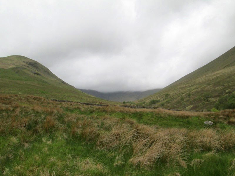
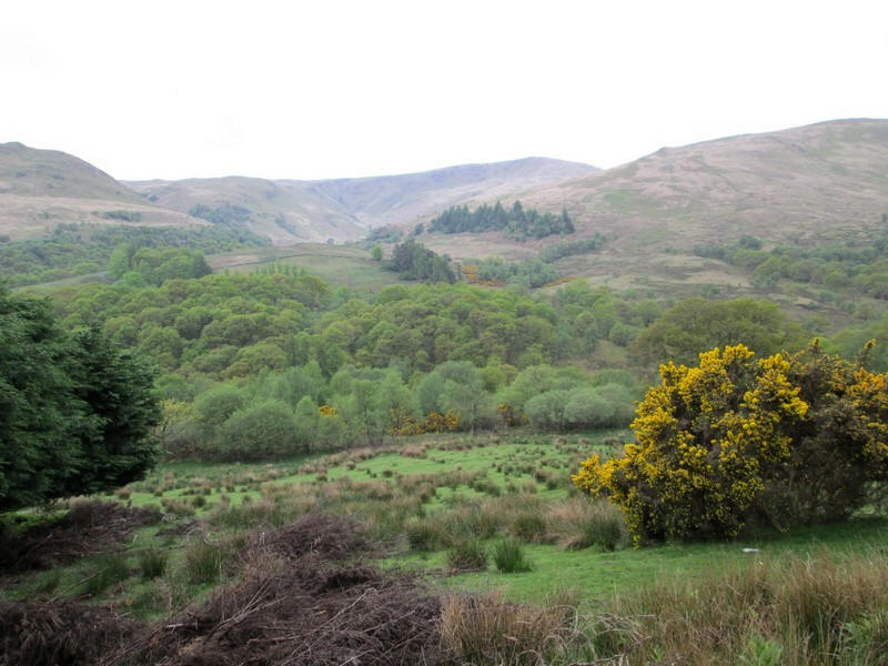
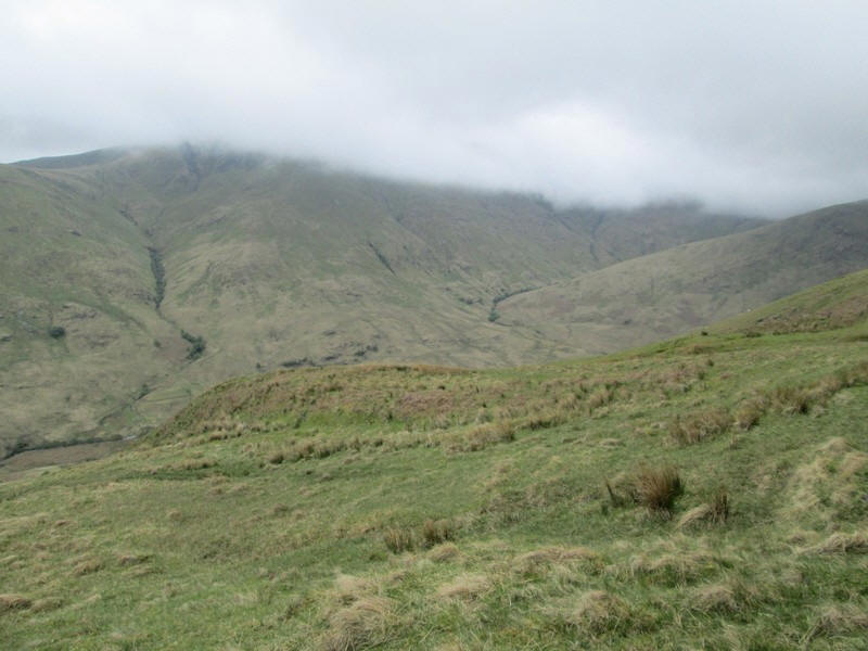
Looking up Glen Mollochan, Doune Hill (the highest of the Luss hills at 734m) is shrouded in cloud.
After a rather boggy start the track reaches a ladder stile....
.....and a very faint path leads up the field...
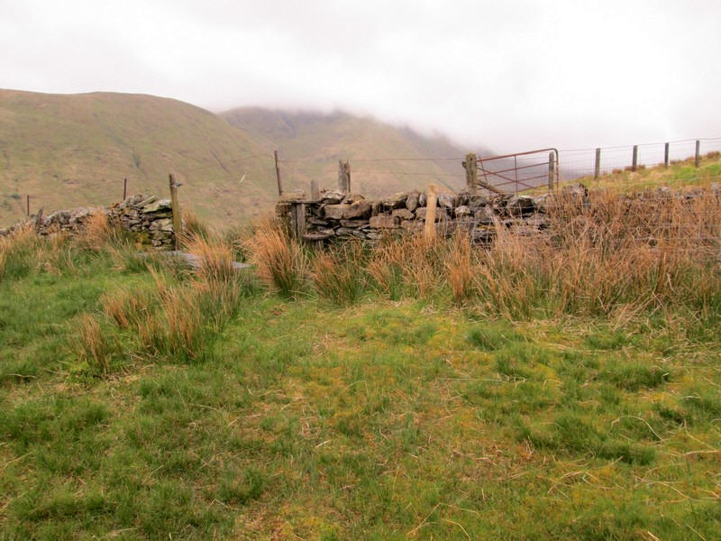
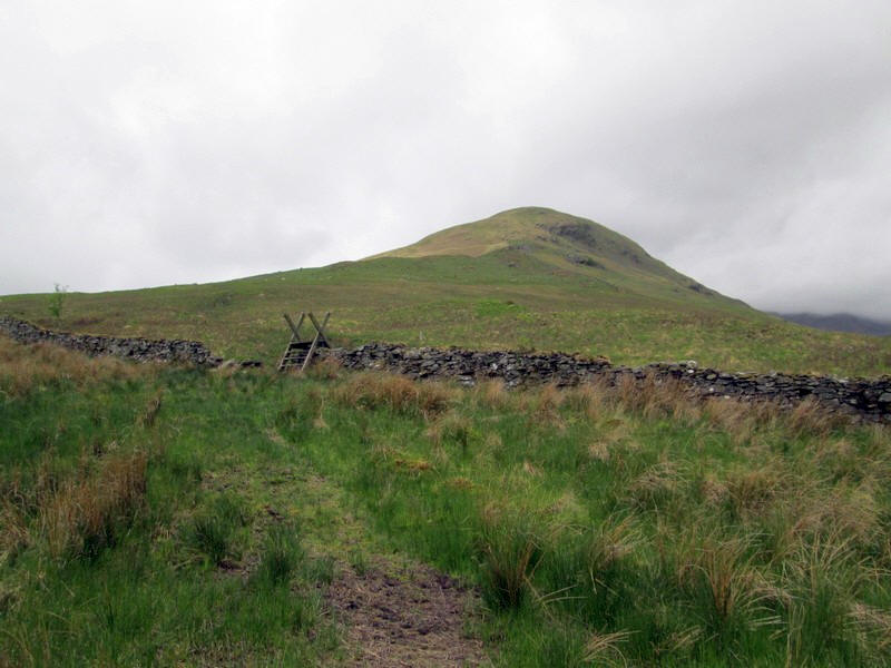
...to reach a broken stile and gate over to the left of the field.
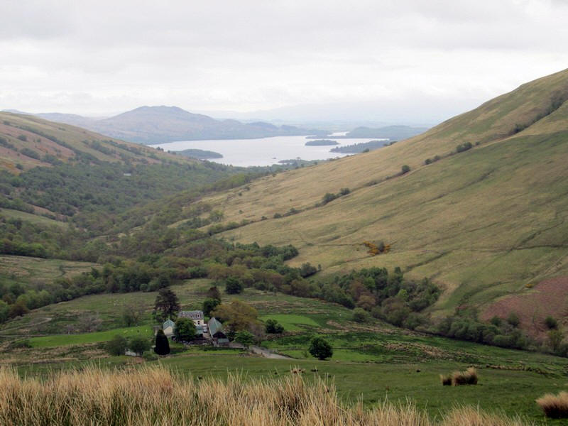
Looking back to Edentaggart with Loch Lomond in the distance.
The O.S. 1:25000 map shows a path leading directly up the ridge but I could see no sign of it and ......
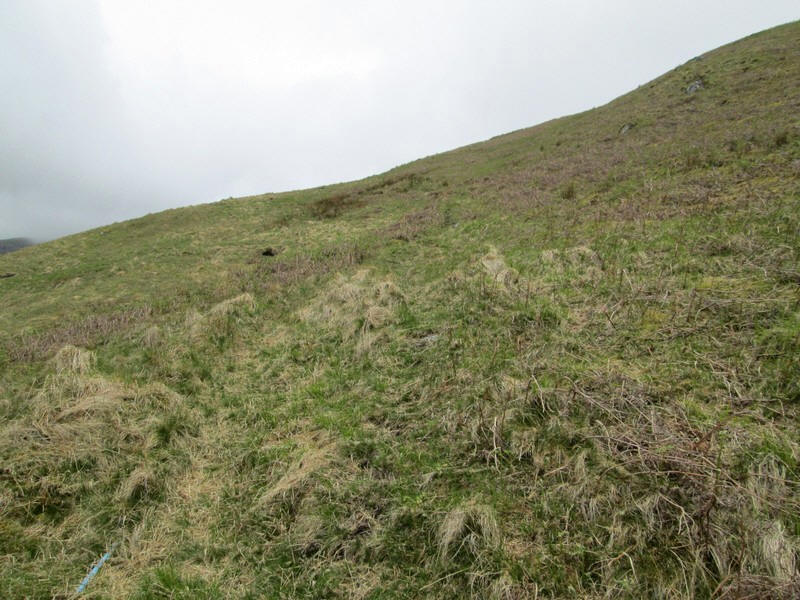
...instead I ended up walking along a fairly obvious track made by an all terrain vehicle, alongside of which ran a blue plastic waterpipe. This not the way up Ben Eich as shown on the map!
I realised fairly quickly that I wasn't quite where I wanted to be but decided to continue as the track was climbing and going in the right direction.
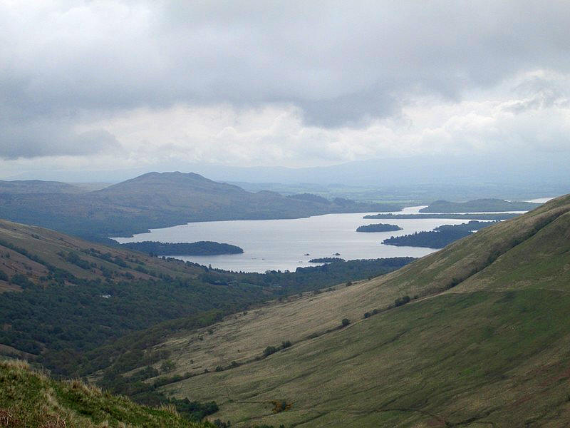
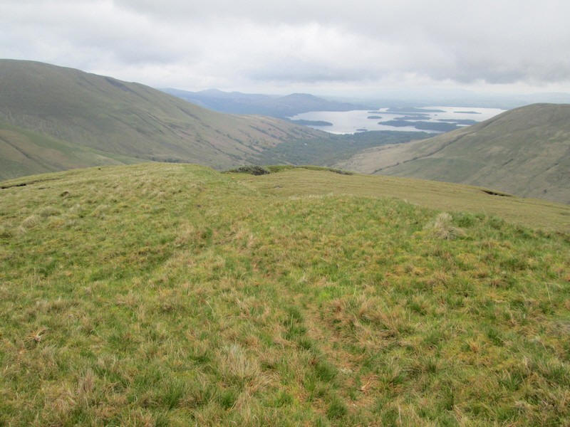
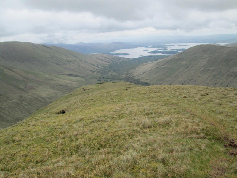
One constant for this walk is the view back looking over Loch Lomond and its numerous islands.
The track ended at a water tank just beyond this point; I presume this supplied the farm with its water supply.

Beyond the tank another track appeared but I think this was formed by deer rather than humans judging by the hoof prints.
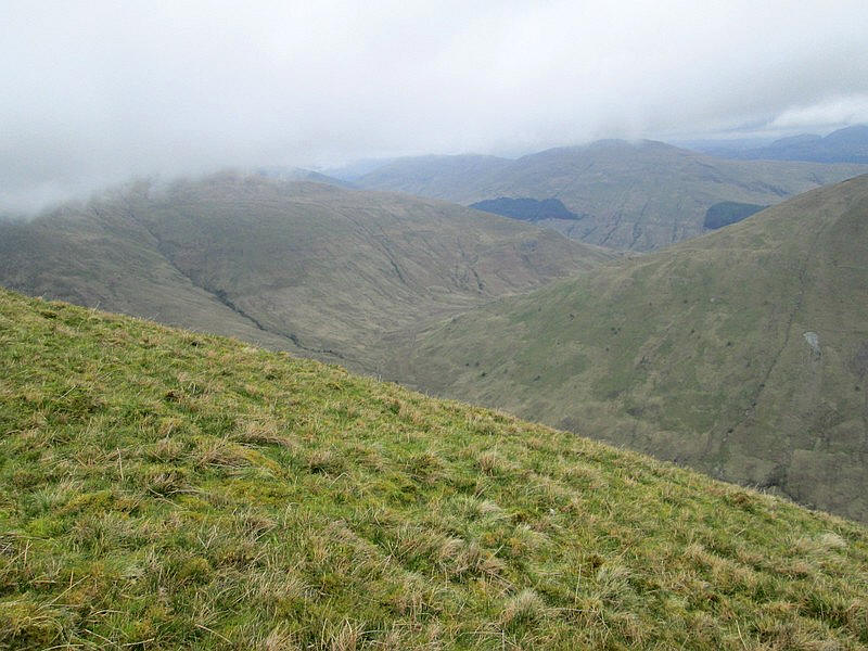
To the south across the Glen Luss more mist clad hills, in this case Beinn Chaorach.
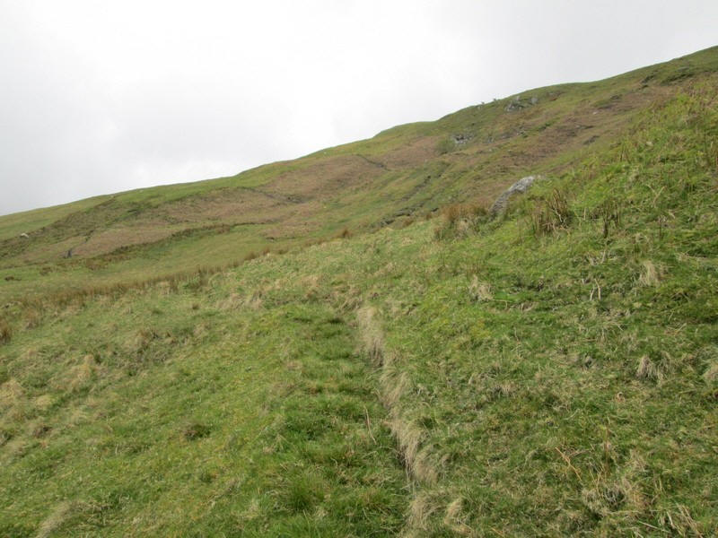
I now decided to simply climb up the hillside to reach....
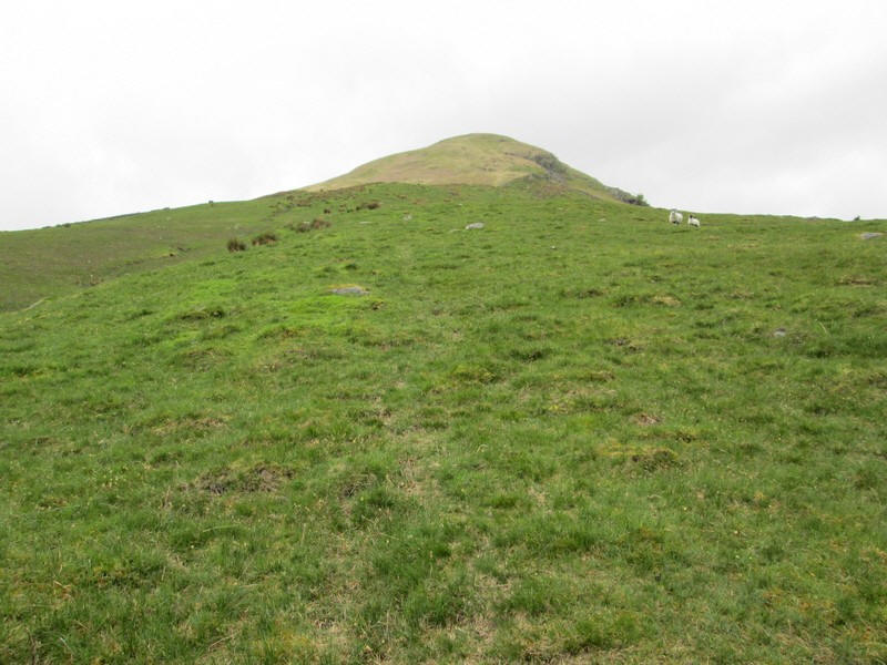
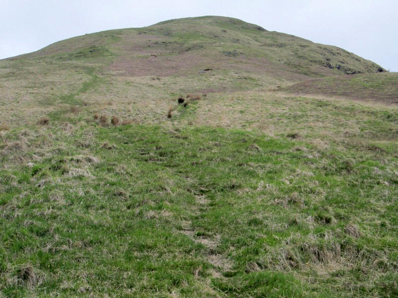
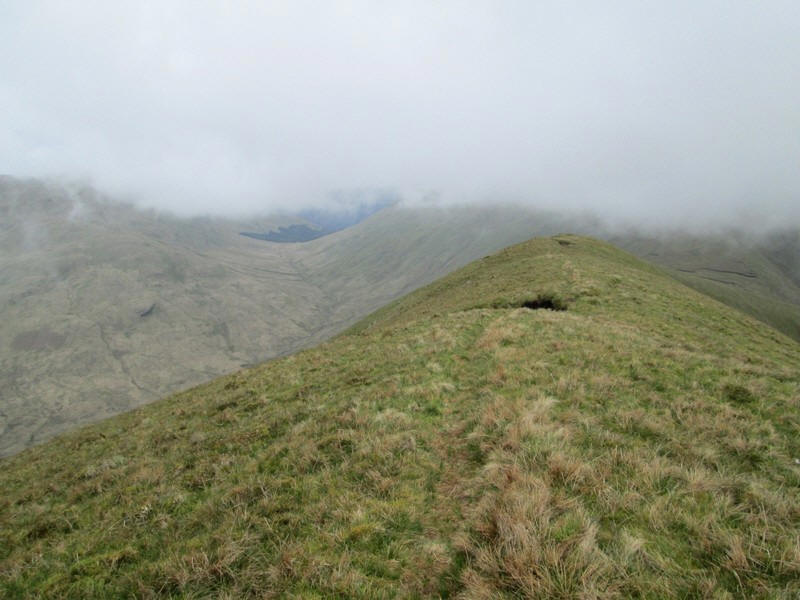
....the crest of the ridge where the faint path appeared.
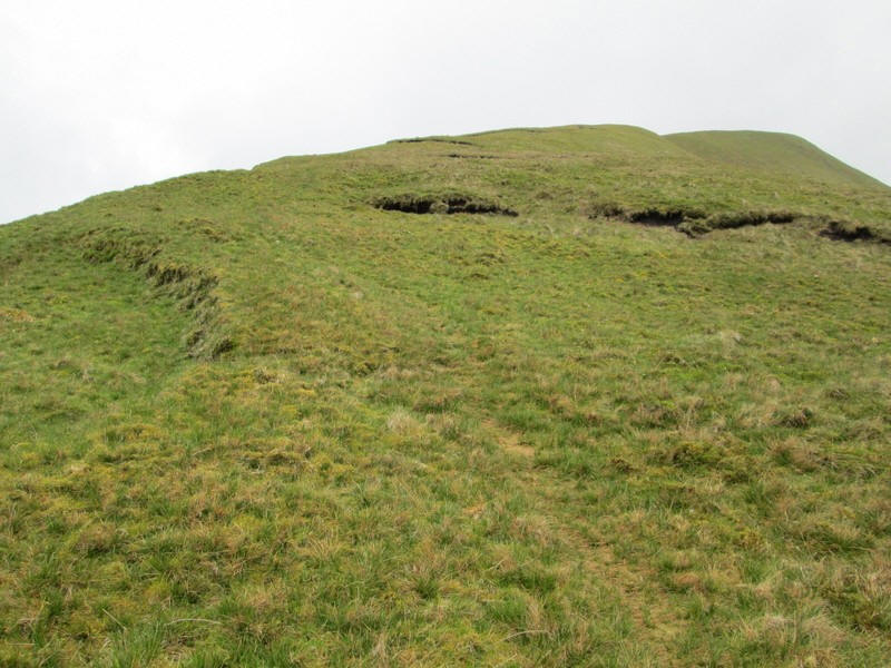
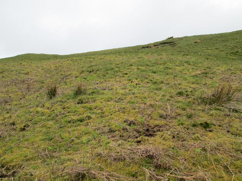
Heading up the ridge it's an easy gradient over grass...
...with views down to the north into Glen Mollochan.
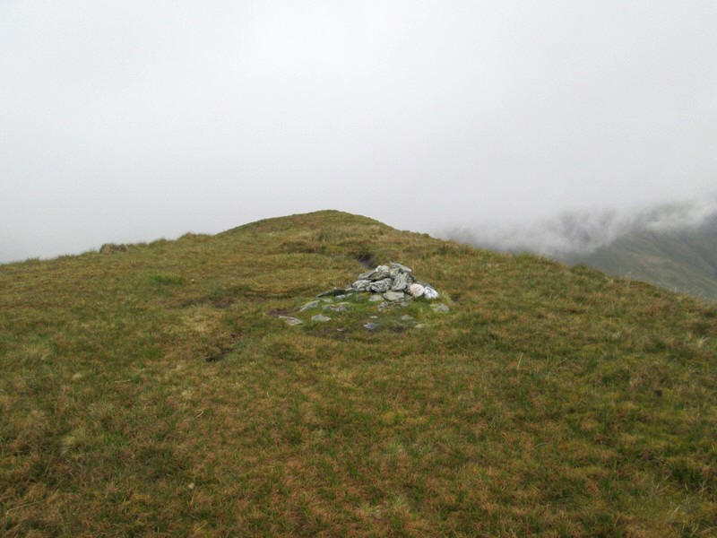
The summit of Ben Eich (703m) is marked by a small pile of stones. It had taken me exactly 3 hours from the start of the walk at Luss, about 20 minutes longer than expected.
I continued a little further along the ridge to find somewhere to shelter from the wind and...
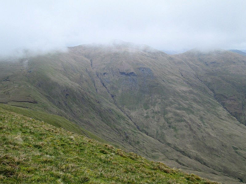
.....in the hope of a better view of Doune Hill.
I had considered continuing over Doune Hill and then returning down by the strean on the right hand side of the photo to reach the tracks in Glen Mollochan but, as this was only my second day's hill walk in 2023, I decided not to push myself too far!
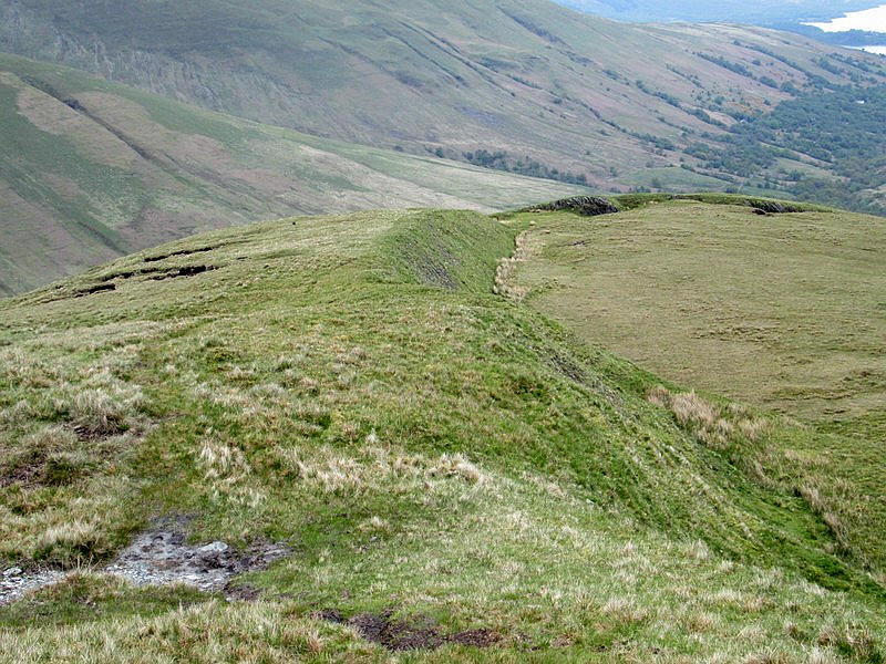
After an extended early lunch break the return was a pleasant stroll down the ridge...
....passing this curious outcrop of rocks, clearly visible on the OS maps.
Once back at Luss, I crossed over the footbridge over the A82 and caught the local bus to Balloch and then the train back to Glasgow.