Coulin Pass and Drochaid Coire Lair circular walk
In September 2013 on a day of high winds I was forced to change my plans to climb Beinn Liath Mor and Sgorr Ruadh (although I managed to climb them the next day) and ended up doing a circular low level walk from Achnashellach station.
Initially I thought I might be able to complete the hill climb but as I approached the start of the climb to Beinn Liath Mor it was obvious that the wind was too strong so I changed my plans. The map below shows the route I took initially towards Beinn Liath Mor but then by the streams that lead to Easan Dorcha and then over the Coulin Pass back to Achnashellach. What was at first disappointing turns into a really good walk.
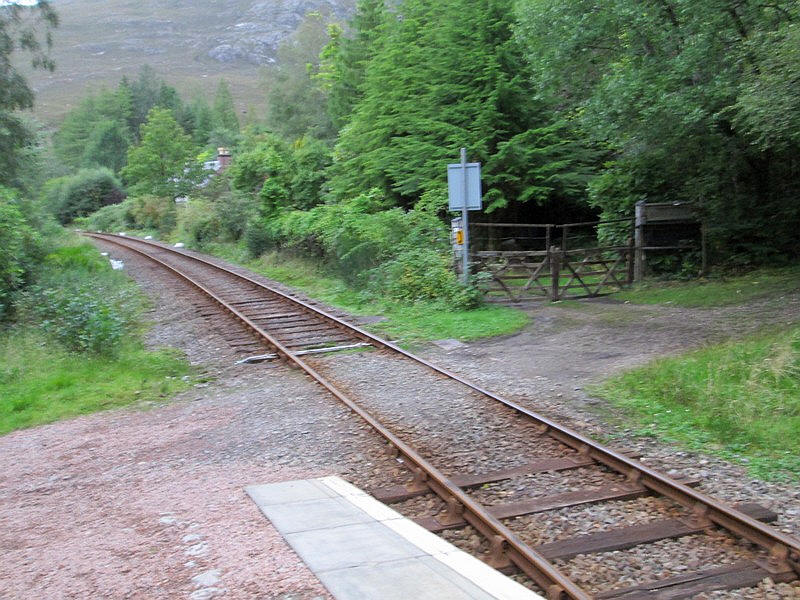
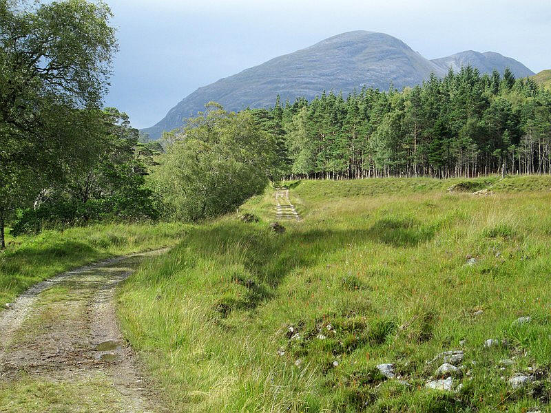
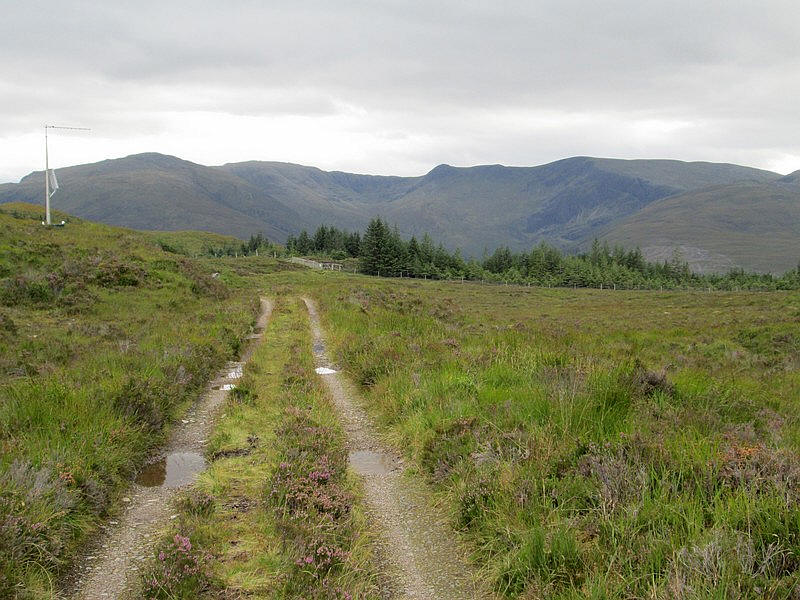
The walk starts up the forest track with the Corbett Fuar Tholl directly ahead.
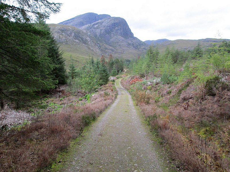
The path climbs by a deer fence....
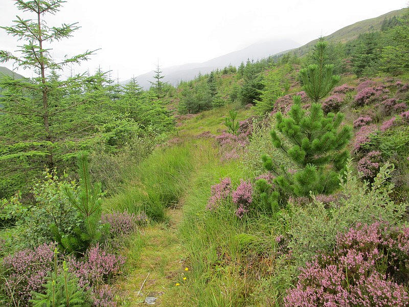
.....before reaching the open hillside....
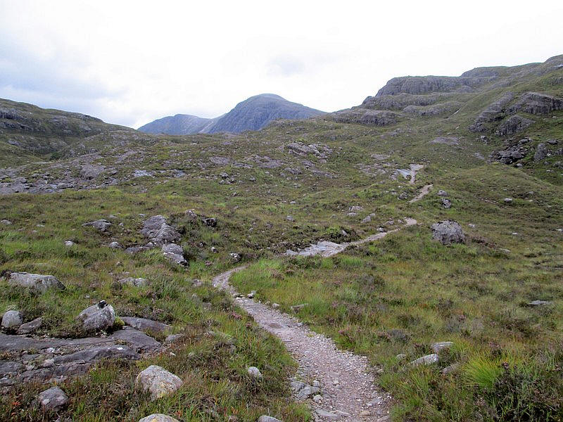
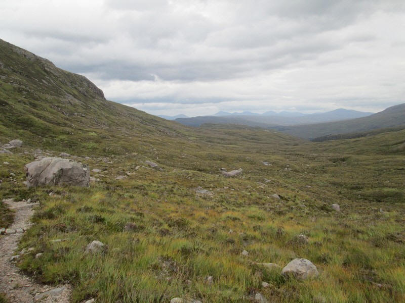
....and levelling off by the River Lair with the head of Coire Lair in the distance. Beinn Liath Mor is on the right and Sgorr Ruadh on the left.
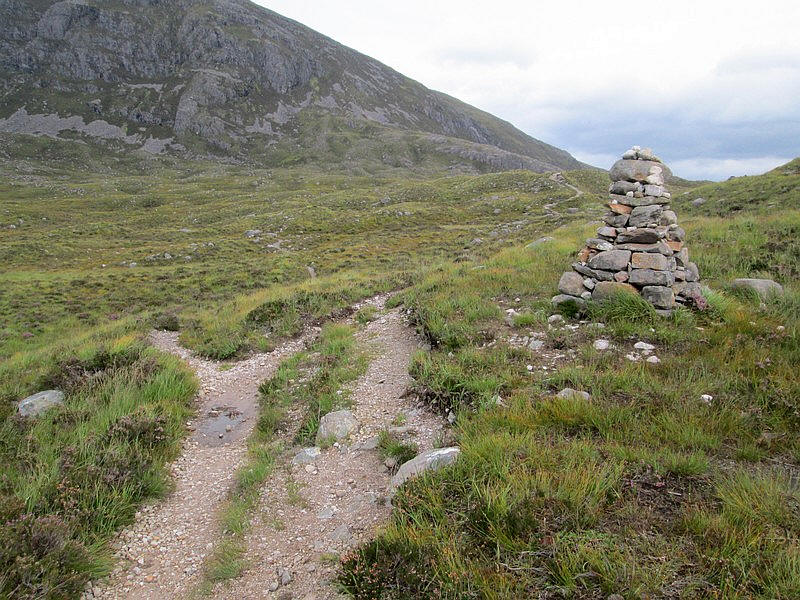
There's a cairn where the path splits - to the left up into Coire Lair and to the right towards Beinn Liath Mor or the path that I will be taking.
At a second cairn I decide to see if the wind is as strong as it appears so I start the climb. After a short distance I retreat and with some relief head off on the track to the right.
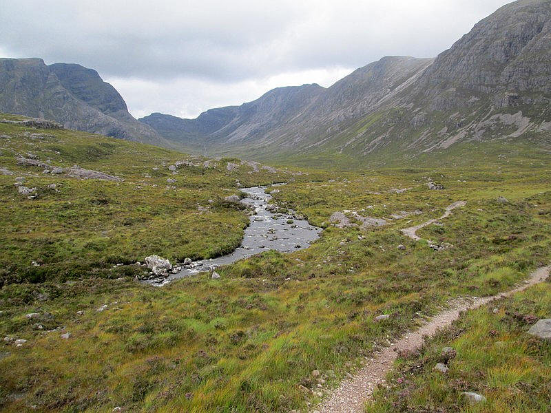
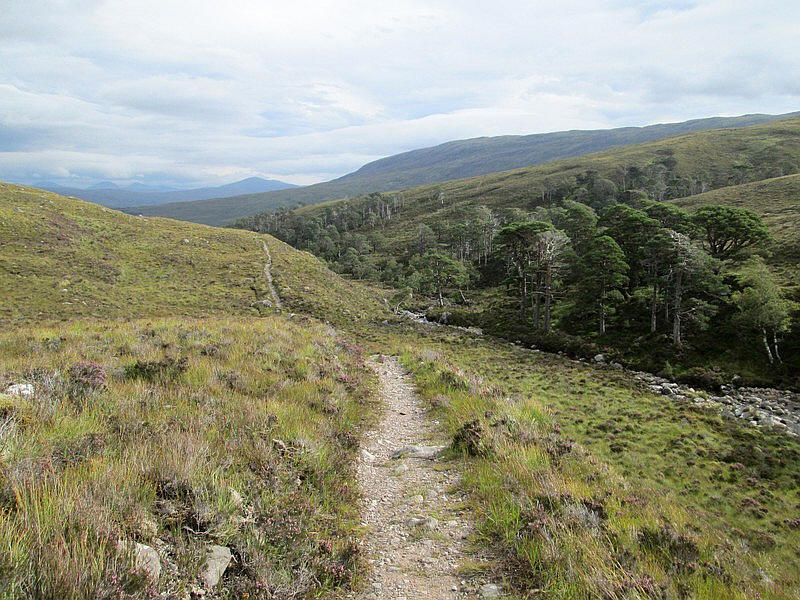
The path heads across Drochaid Coire Lair and crosses several fords including one over the Allt an Tigh Sealgach which according to the OS 1:25000 map splits into two before joining the ....
..... more significant Easan Dorca.
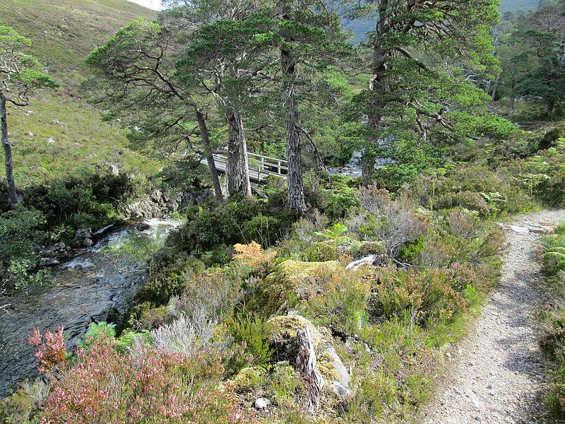
The path drops down to cross the Easan Geal on a footbridge.
Looking up the Easan Geal as it cascades over rocks.
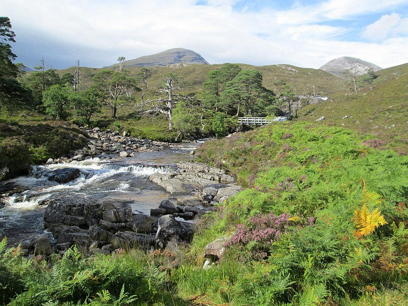
Once across the bridge the two streams merge. This is looking back up stream with Beinn Liath Mor on the left and Beinn Liath Beag on the right. The Easan Gorca on the left combines here with the Easan Geal.
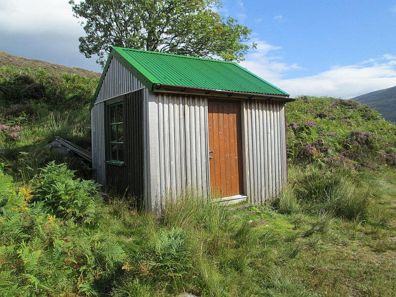
Just downstream from the bridge is this tiny bothy, known apparently as the "Tea House" bothy, although its proper name is the Easan Dorcha bothy.
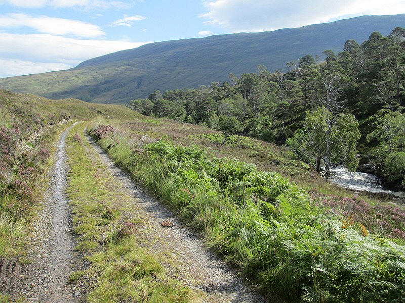
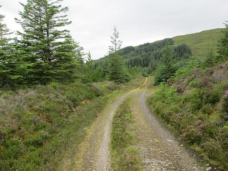
The vehicle track heads down towards....
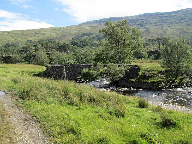
...a bridge where the River Coulin is joined by the Easan Gorca. My route to the Coulin Pass crosses the bridge.
Looking back with the bulk of Beinn Liath Mor towering above.
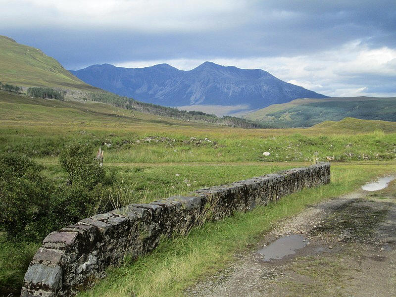
The summits of Beinn Eighe dominate the view.
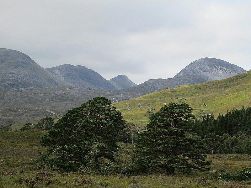
On the left the three summit tops of Beinn Liath Mor - the actual summit is the far one - and Beinn Liath Beag on the right
The summit of Slioch is on the right in the distance.
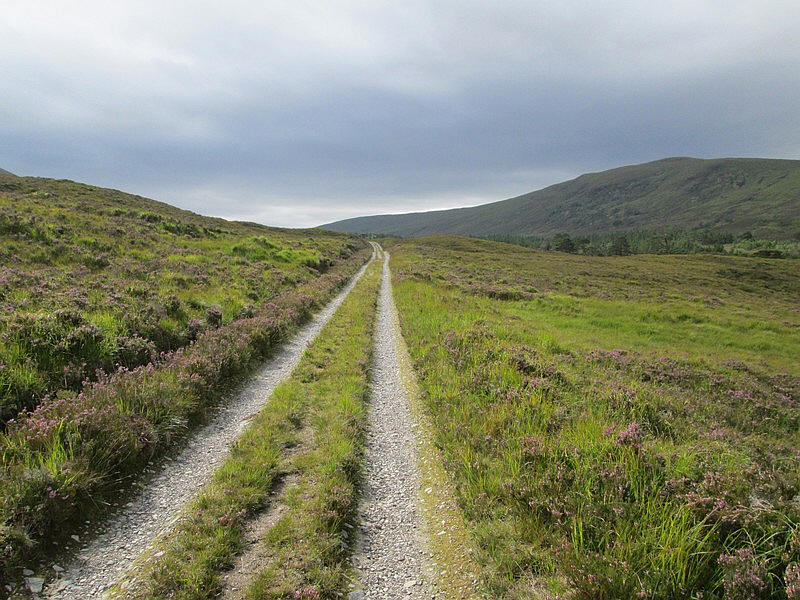
Beginning the climb to the Coulin Pass
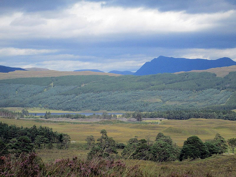
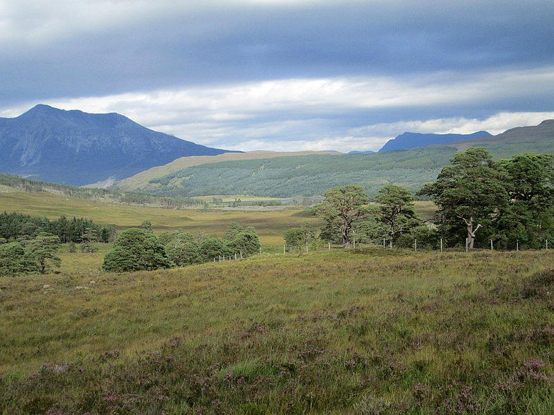
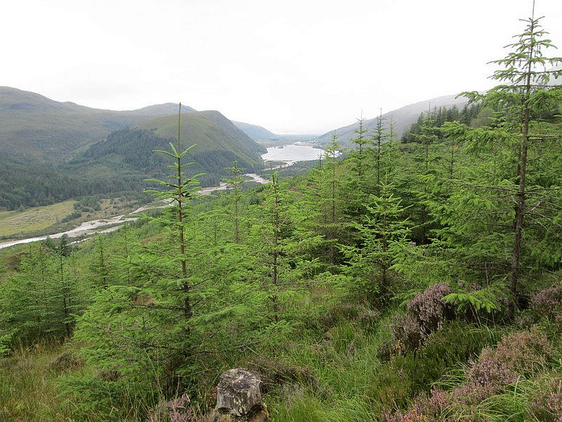
The dark bulk of Slioch can be seen in the distance with Loch Coulin in the centre.
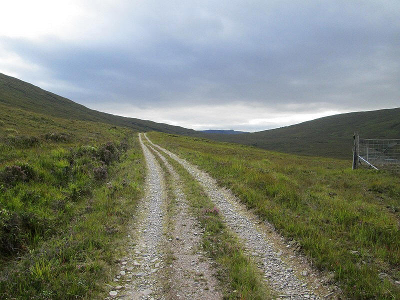
The top of the pass can be seen in the distance.
Looking back towards Slioch.
The summit of the pass is reached and Sgurr na Feartaig comes into view.
The track begins to drop through the trees but....
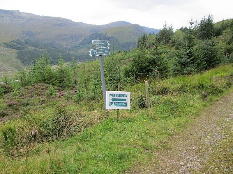
,,,,,there's forestry work taking place so there is a rougher descent than I'd hoped for.
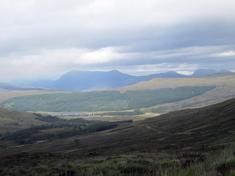
However, there are good views down to Loch Dughaill.
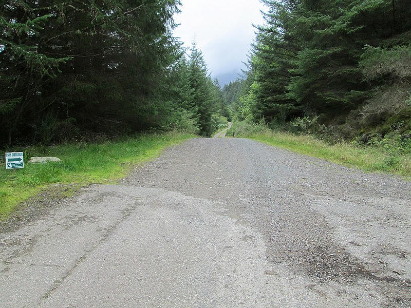
In places the track isn't too clear but eventually I get back on the forest road....
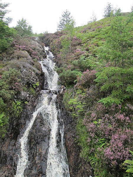
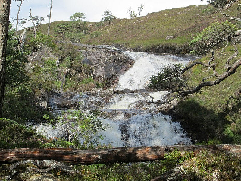
.....which crosses a bridge near a waterfall...
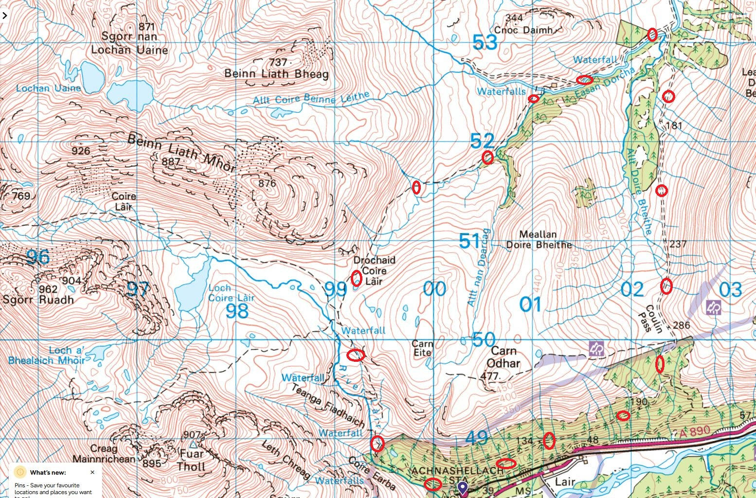
..and then it's a gentle walk back to the station for my train back to Strathcarron. I had just over an hour to wait in the shelter, hiding from the midges!