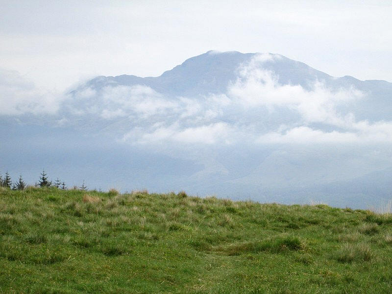
Mid Hill (Beinn Dubh) from Luss
The map above shows my track taken from my Spot personal tracker. Click on the top right corner to see a larger map.
For my second walk of 2024 in Scotland I decided to climb the Graham Mid Hill. This is a slightly unusual location as the more obvious summit is at Beinn Dubh which is 643m above sea level. However, the highest point is actually further on at Mid Hill at 657m above sea level. Grahams have to have a drop of 150m all round so Beinn Dubh isn't a Graham.
The walks starts at about 20m above sea level in Luss but as there are several sections of descent the total ascent is actually about 690m.
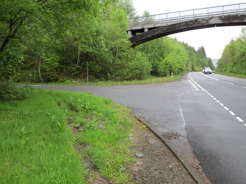
The walks starts from near the footbridge over the A82 at Luss - a small village and tourist hot spot by Loch Lomond. I caught a Citylink bus from Glasgow and walked up the lane from the A82 layby and then doubled back towards the footbridge...
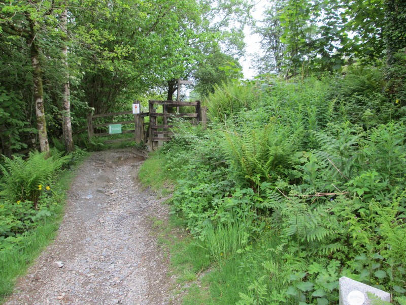
...to where this stile gives access to the hillside.

The path is clear all the way from the start to the summit of Beinn Dubh, so no route finding problems.
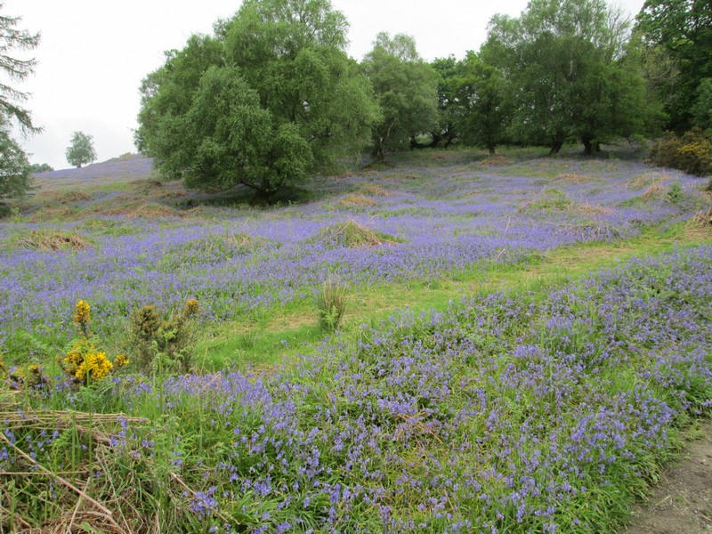
In early May the hillside was covered in bluebells and cuckoos were calling in the woods.
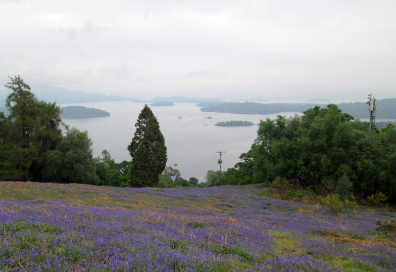
One feature of much of this walk is that Loch Lomond is visible for most of the time. This is looking back down to the southern part of the loch.
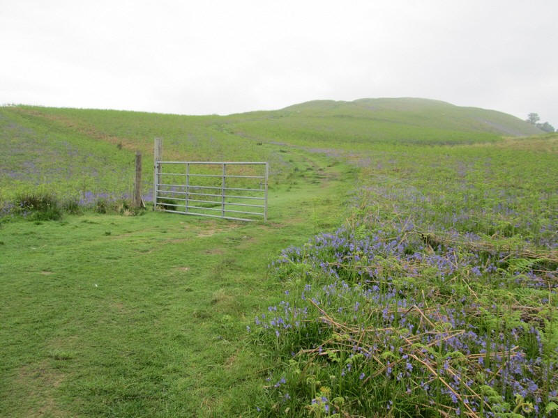
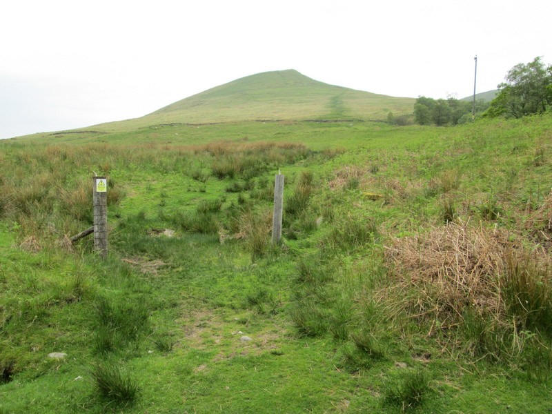
The track cross the line of a old fence which only has a gate still in place.
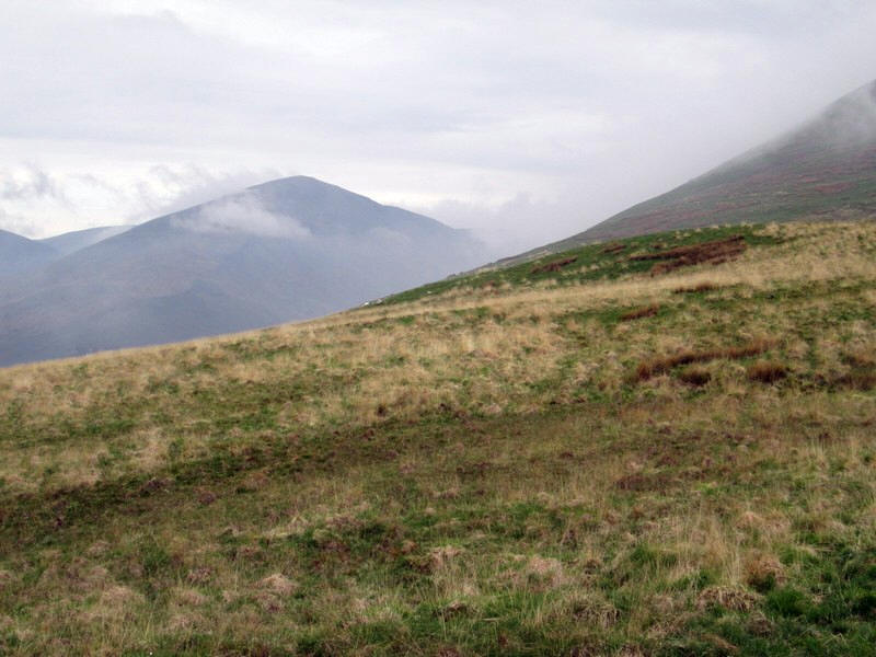
Visibility wasn't good to start with but largely cleared later in the morning.
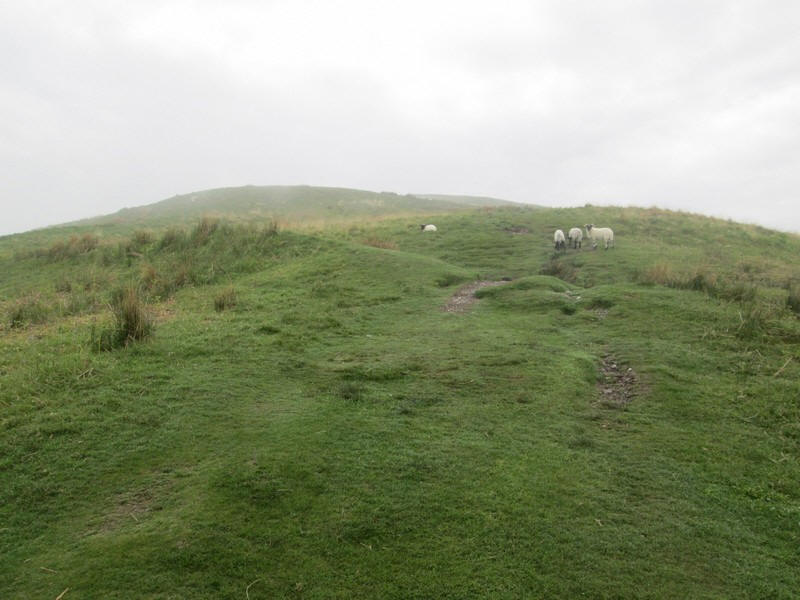
The path continues up the long south eastern ridge.
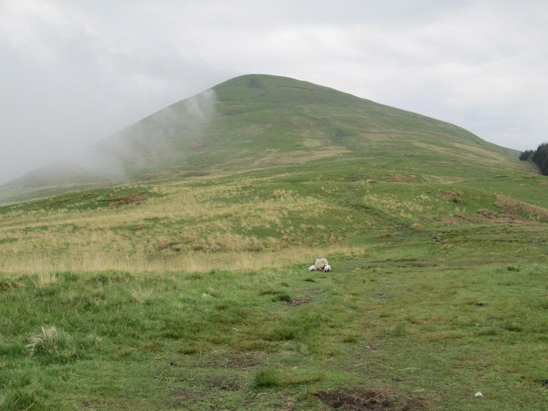
Over to the east the Munro of Ben Lomond is almost clear of cloud.
Across to the west, beyond Glen Luss, is another Graham, Ben Eich, which I had climbed in 2023.
Onwards and upwards.
Looking back down to ridge to the islands in Loch Lomond.
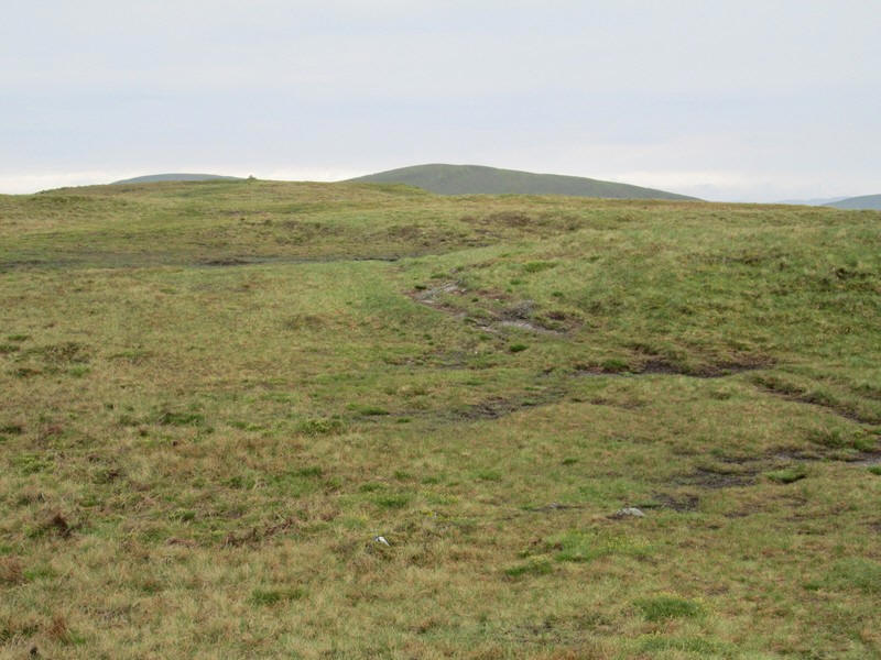
There are a few sections of peat hags to negotiate.....
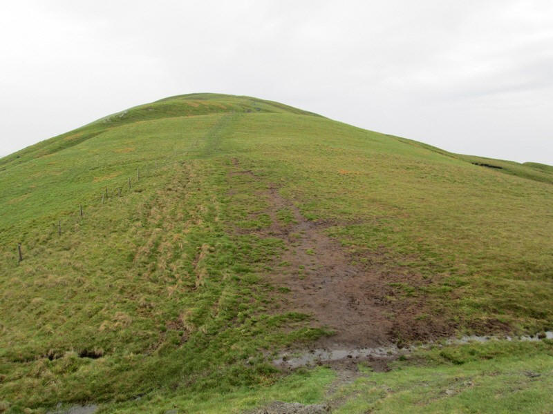
...but most of this section is a relatively gentle climb up the ridge.
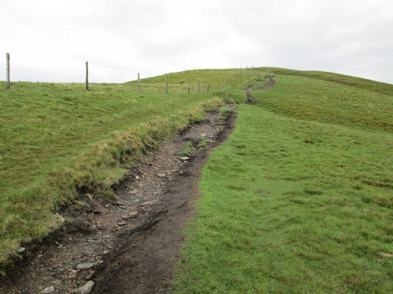
A line of fence posts appears from the south west and the path follows it ...
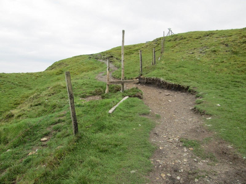
...until the path crosses it at a broken stile.
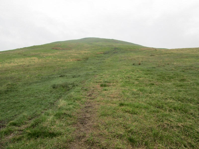
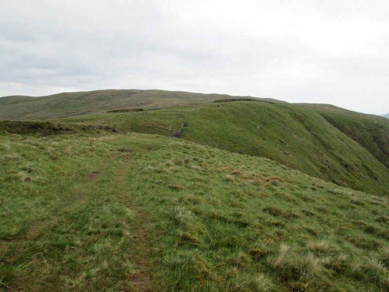
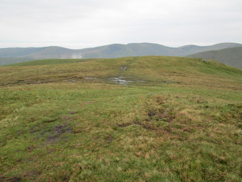
This is the final section on the rounded ridge....
....which leads to the small cairn on Beinn Dubh's summit.
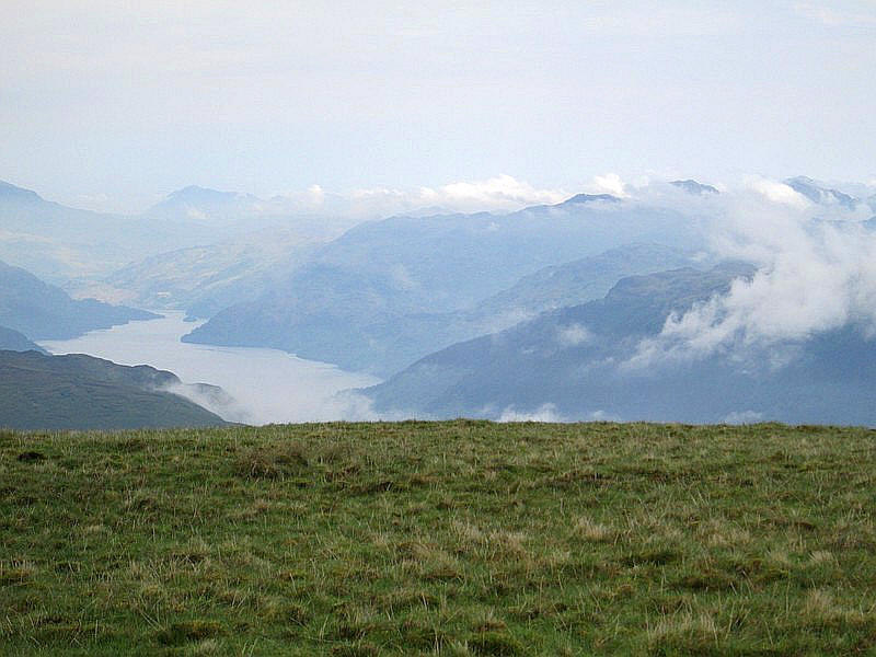
I wandered across to the west side of the ridge to see the view looking down onto the northern part of Loch Lomond - the village of Ardlui is at the end of the loch.
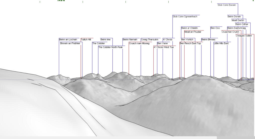
As can be seen in the panorama image below the summit of Ben Dorainn near Bridge of Orchy can be seen (directly above the end of the loch and 26 miles away).
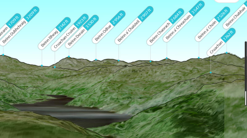
This panorama was generated on the website https://peakvisor.com
Having reach Beinn Dubh there is now a slight drop down the north west ridge of the hill.....
...which has a very boggy section that has been fenced in, presumably to avoid problems with animals getting stuck.
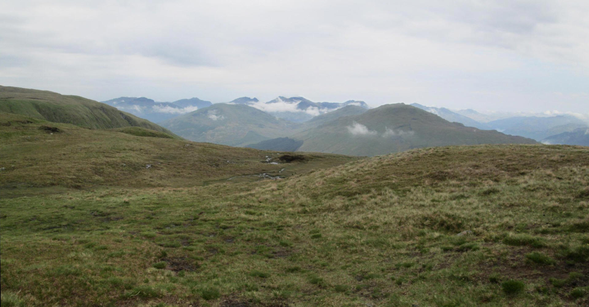
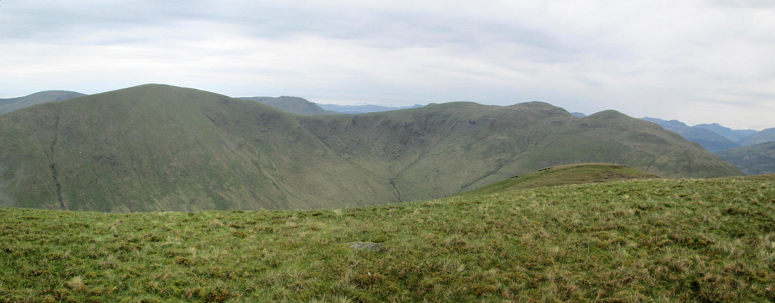
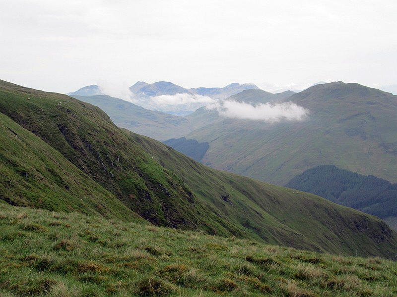
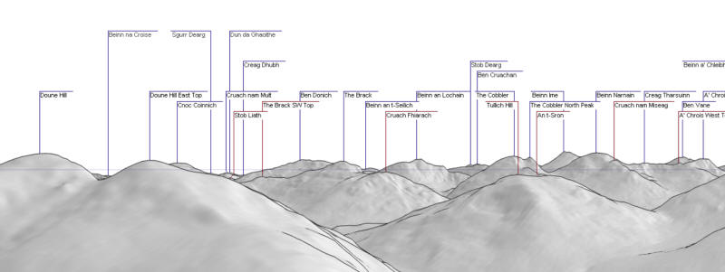
Looking towards the hills near Arrochar. The hill in the centre with a v shaped notch is The Cobbler whilst the Munros Beinn Narmain, Beinn Ime, Ben Vane and Ben Oss can be seen in the distance.
Panorama created using this website.
https://www.udeuschle.de/panoramas/makepanoramas_en.htm
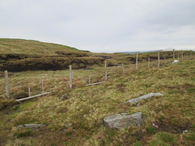
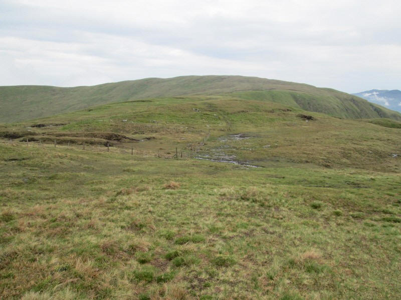
The peat hags near the dip to point 595m are fenced in and appear on the OS 1:25000 map.
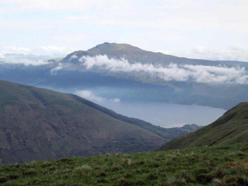
Another view of Ben Lomond across the loch.
Looking north towards the Munros around Crianlarich.
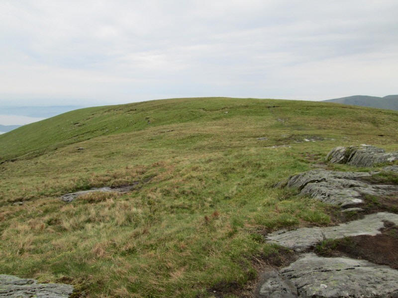
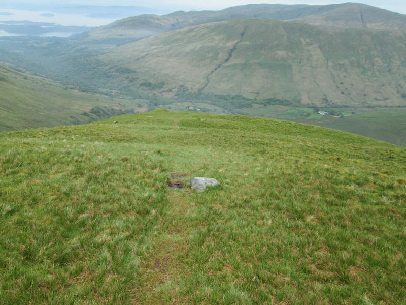
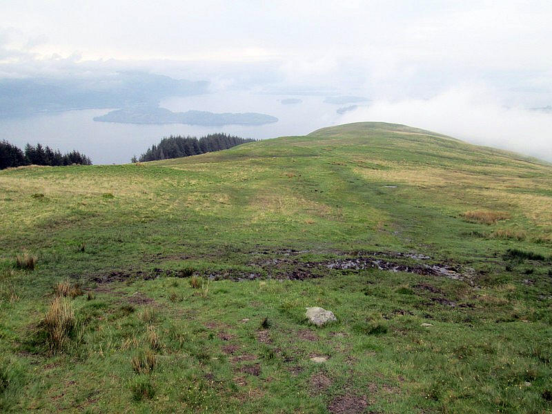
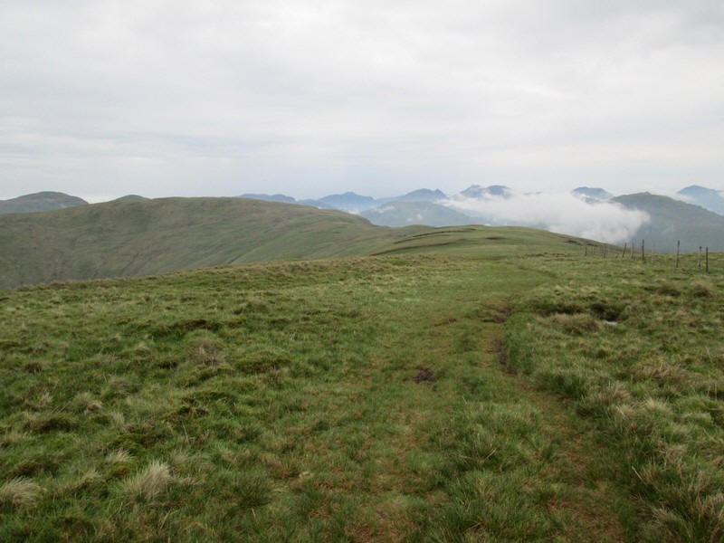
The summit of Mid Hill is on the top of the ridge whilst over to the right....
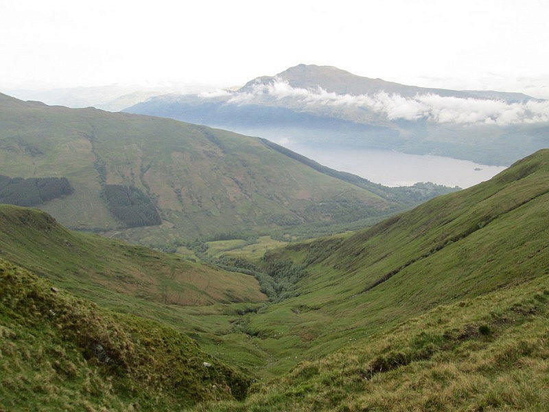
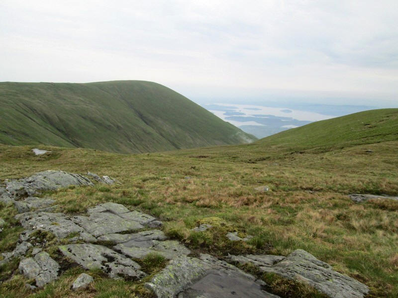
....is the dramatic view down Coire na h-Eanachan to Loch Lomond with Ben Lomond beyond
Looking back towards Beinn Dubh.
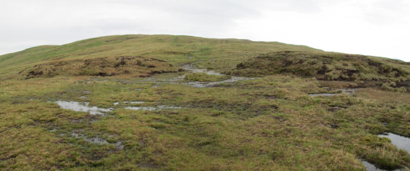
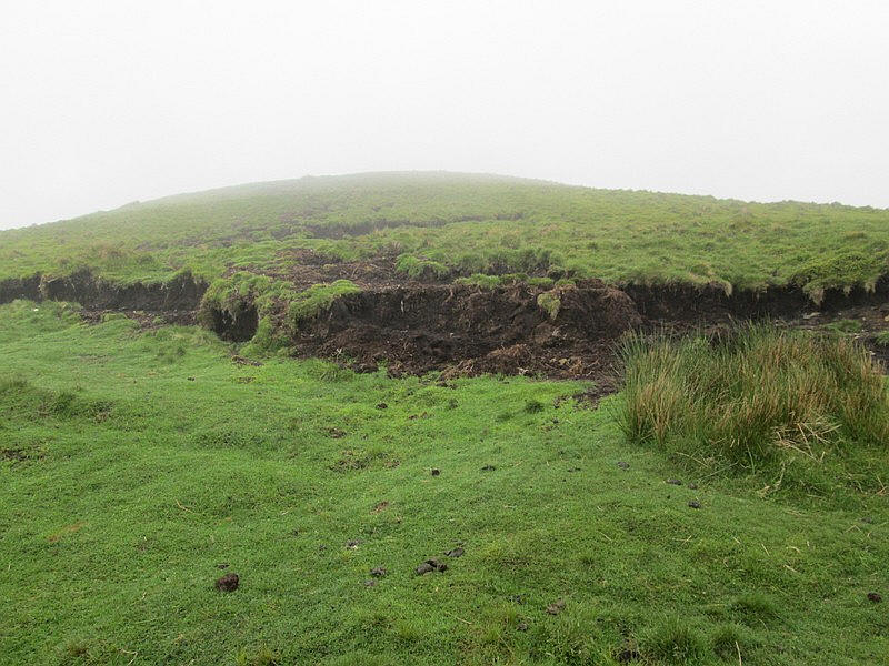
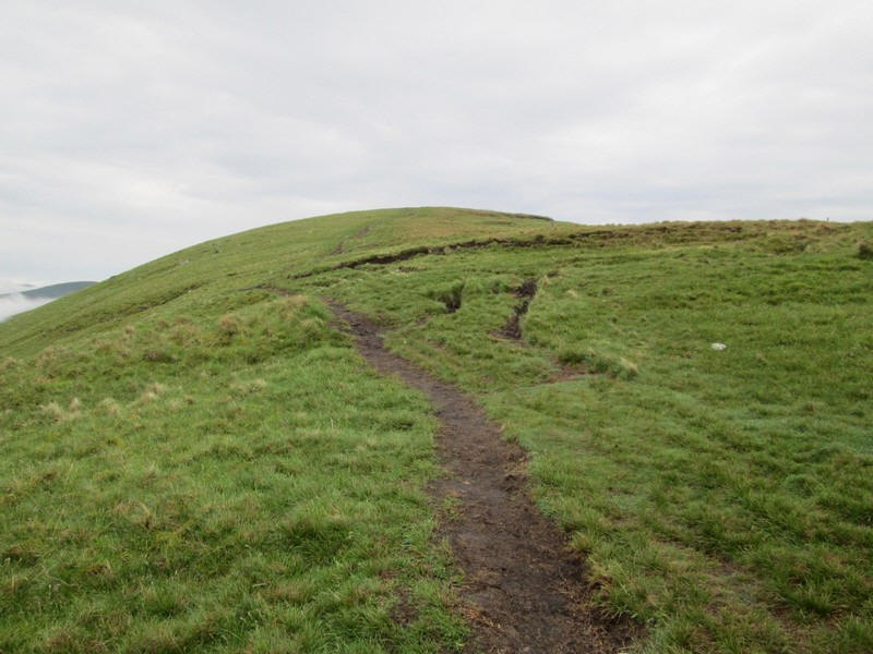
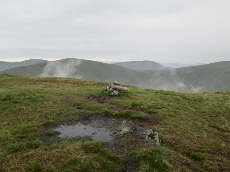
On the approach to the summit of Mid Hill there are half a dozen rather unusual looking banks of peat which rise above the general level of the ridge.
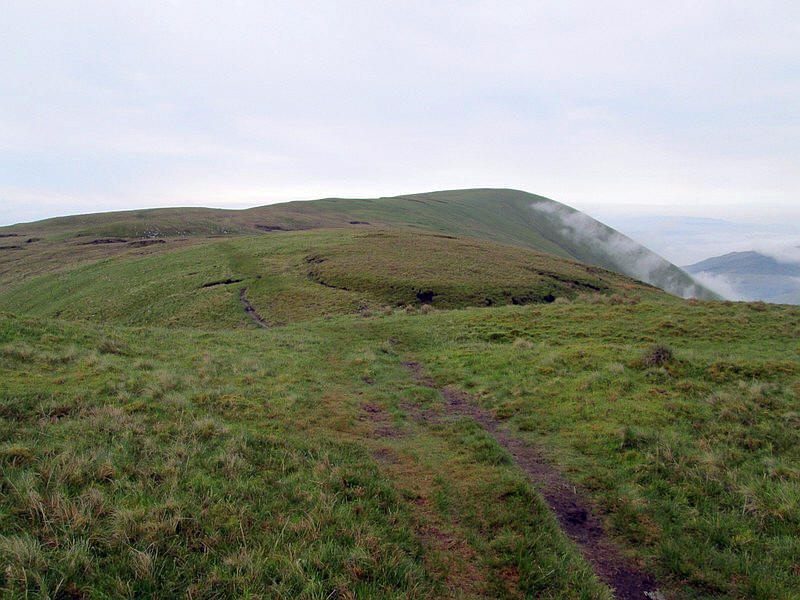
This cairn is not the actual summit of Mid Hill which lies a little further on.
Another view looking towards the hills near Arrochar
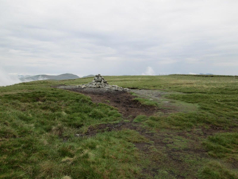
In the distance the cairn at the summit can be seen.
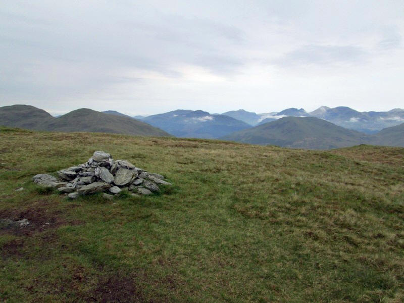
The summit cairn is at 657m above sea level. It had taken me exactly 3 hours from the start of the walk, a little longer than expected, although I had taken several breaks to put on waterproofs and chat to other walkers.
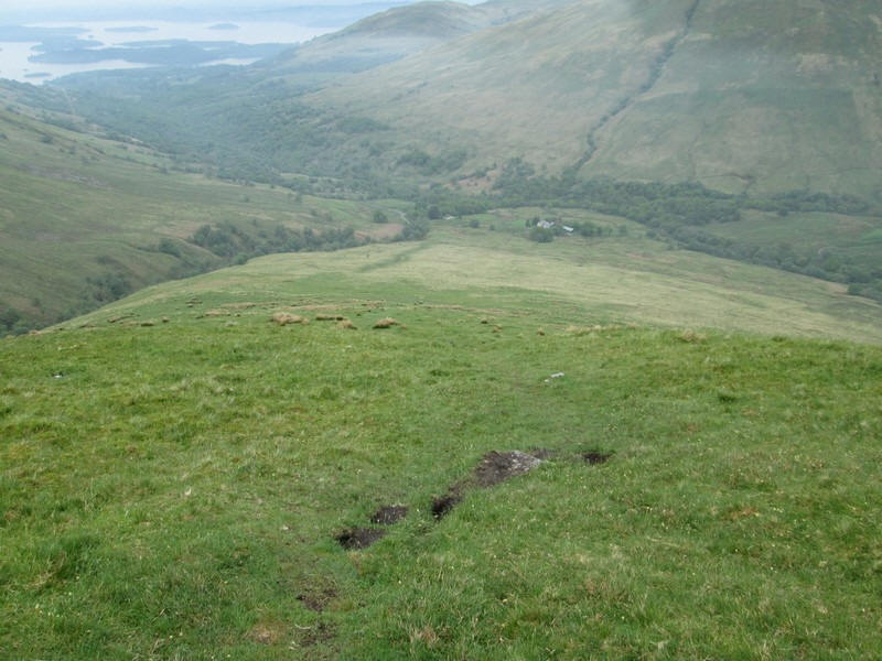
After a break for lunch I headed off down the south east ridge towards the road in Glen Luss. This makes the walk a circular one and is called the "Glen Striddle Horseshoe". I've repeated the map here to make the route more obvious.
Over to the east is Beinn Dubh
with Glen Striddle below it. Initially it's a gentle descent
along the ridge.
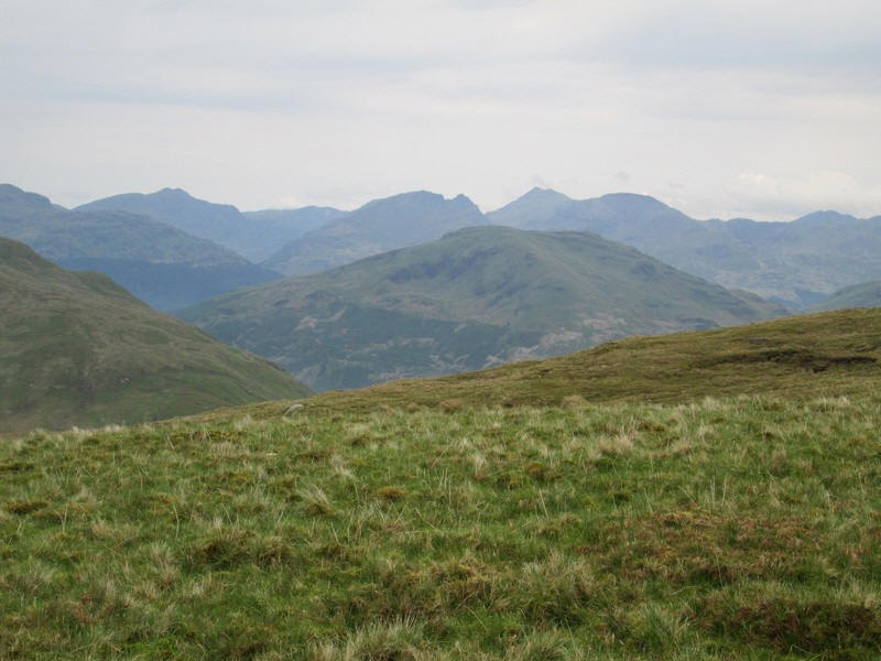
Across Glen Luss are the two
Grahams Beinn Eich and Doune Hill. Click on the photo to see a larger image. A zoomed in view of the Arrochar
hills The walk becomes a lot steeper
.... ....as it drops down in Glen
Luss... .....heading for the hamlet at
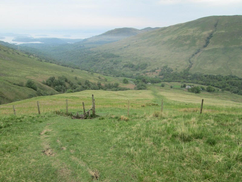
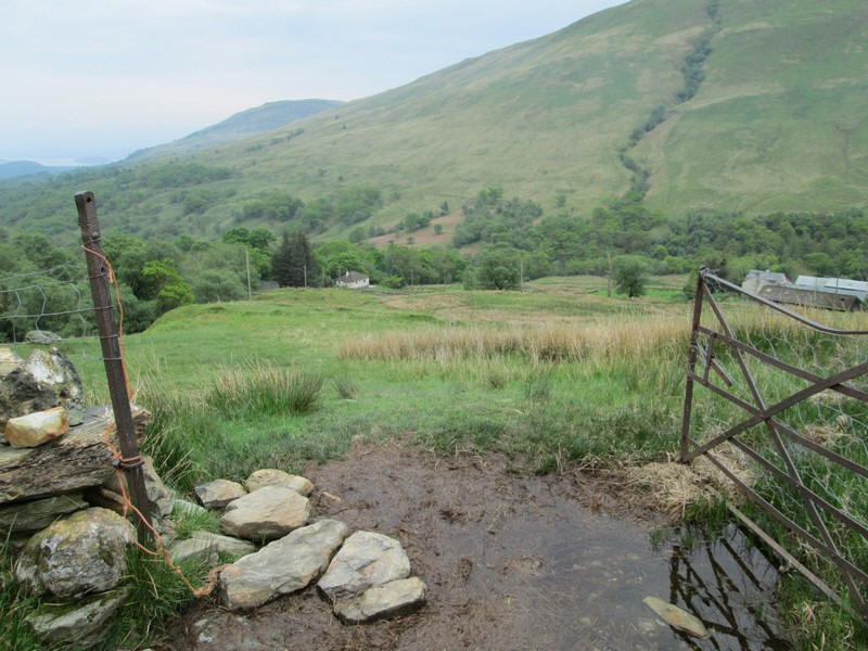
Glenmollochan. Eventually a fence is crossed... ....and then it's a walk across a
boggy field to... ....reach the road. This is
looking back uphill.
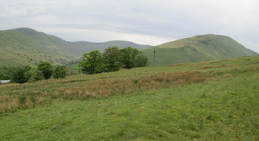
The hills around upper Glen
Luss. All are Grahams - on the left is Beinn Tharsuinn, in the middle is Beinn
a'Mhanaich and on the right is Beinn Eich. Click on the photo to see a larger
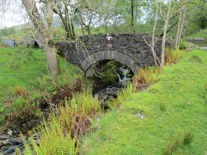
image. The delightful bridge over the
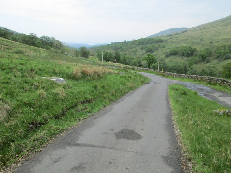
stream that comes down Glen Striddle. There's just a gentle walk down
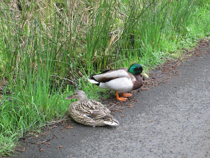
the lane to Luss which took just under an hour Sitting by the roadside where
these two birds which seemed completely unworried by my presence with a metre of
them. They are a mallard couple with the male having the green head and the
female the speckled feathers. The entire walk had taken just
under five hours.