Marguns to Piz Nair
The way points on this map are taken from my GPS Spot tracker. It is noticeable that on certain sections of the walk, especially on the descent from Piz Nair the tracker was not able to obtain a signal due to the terrain blocking access to satellites.
Use the various buttons on the map to alter the display or move the map.
The plan for this day's walk was to take the gondola cable car from Celerina to Marguns and walk to the summit of Piz Nair, with a possible climb of Piz Schlattain on the way. Then I'd walk down Piz Nair, before returning to the summit on the cable car (just to say I'd been on one of the more dramatic of Swiss cable cars) before taking the funicular railway down to St Moritz.
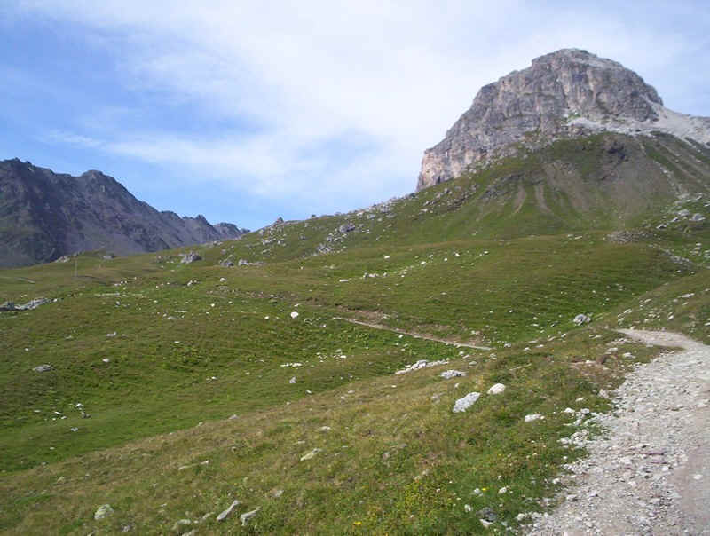
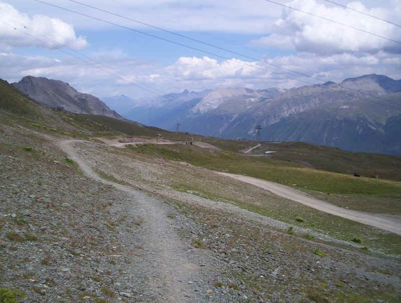
Leaving Marguns the vehicle access track to one of the chair lifts is used....
......which climbs steeply by the Schlattain stream, with the backdrop of a series of 3000m peaks.
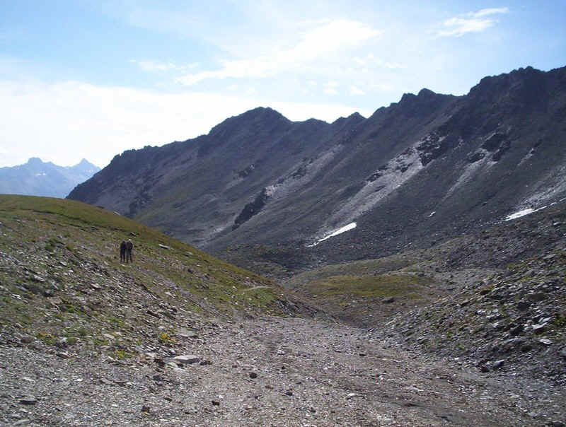
As can be seen, ski centre vehicle roads aren't like footpaths; the simply head straight uphill, and it was surprisingly hard going on a hot morning. The mountains in the background are those above Samedan and Pontresina.
At the chair lift station, the path divides and the path to the lake at Lej Alv is taken.....
.......which heads across the mountain pasture....
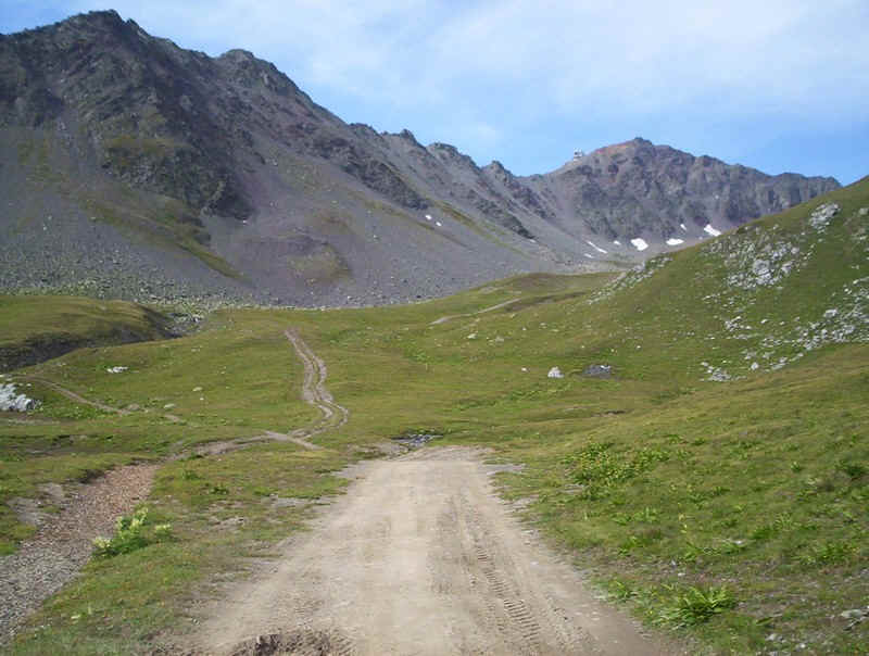
.......until the footpath leaves the vehicle track...
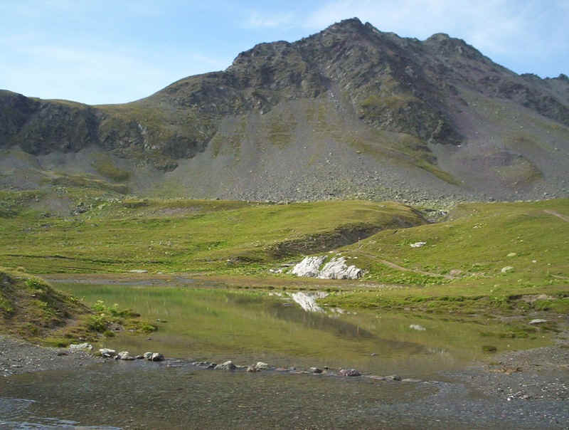
...to reach the lake.
Beyond the lake, the path becomes a typical Swiss mountain track, heading straight towards the col seen in the distance.
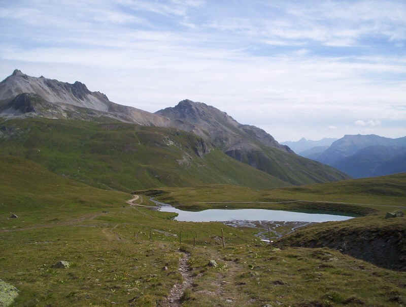
Looking back, the lake appears more attractive than when seen close to.
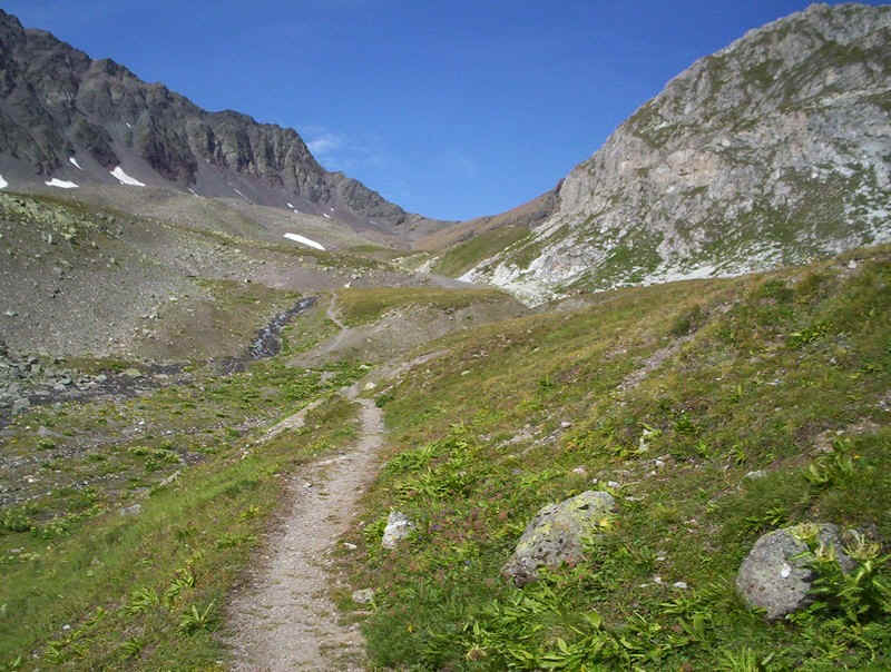
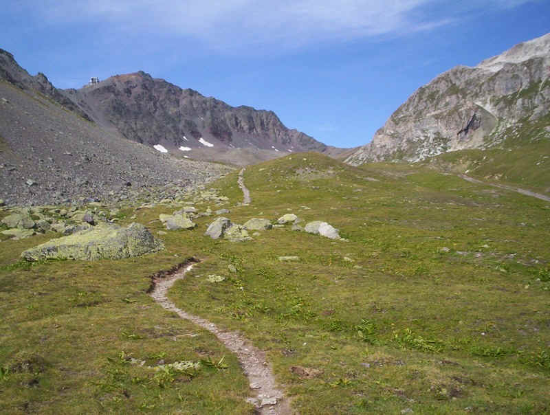
The path heads unerringly towards the col of Fuorcla Schlattain.
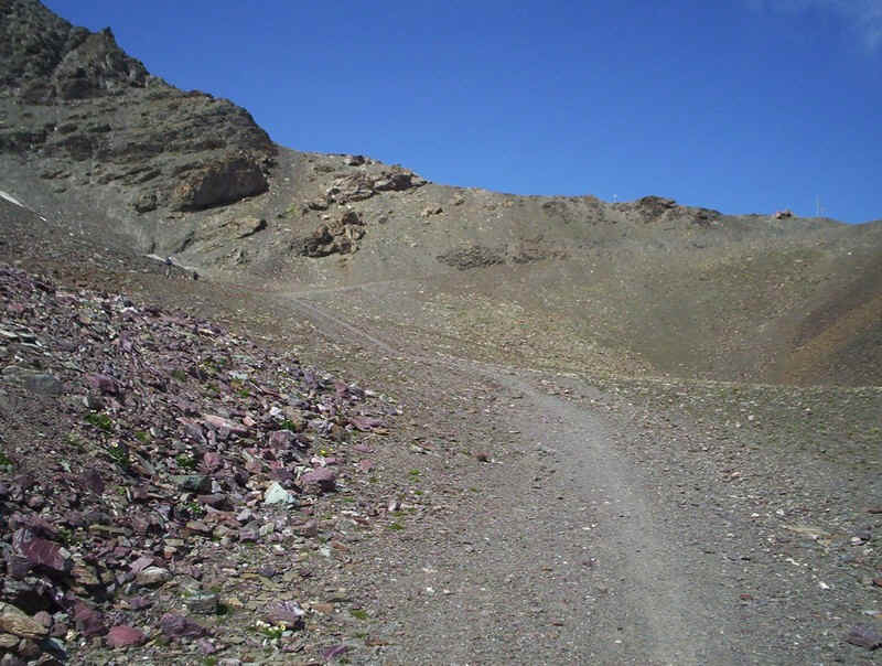
Eventually, it arrives at this barren looking area, which could either be glacial deposits or, more likely, the results of grading of the slopes by the ski industry.
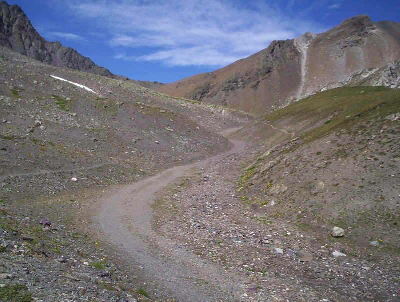
The path crosses from one side of the morraines to the other ...
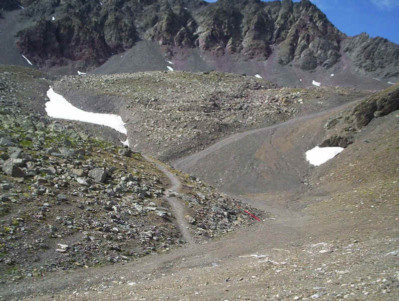
.......as it twists and turns uphill.
It's obvious from the colour of the rocks as to why Piz Nair gets its name of the Black Peak.
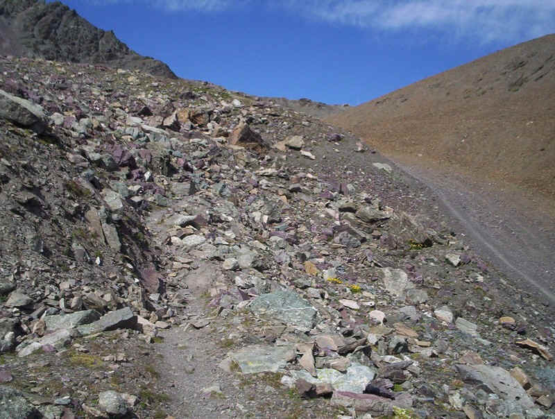
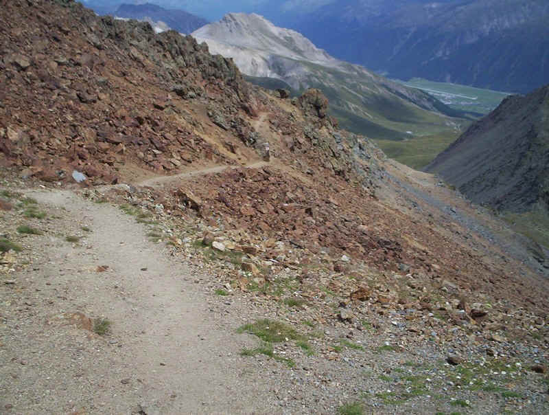
The track continues across, increasingly, rough terrain.....
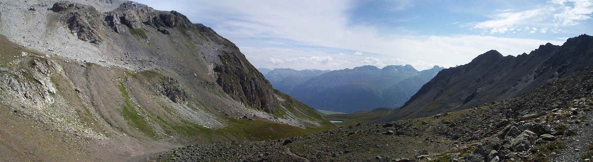
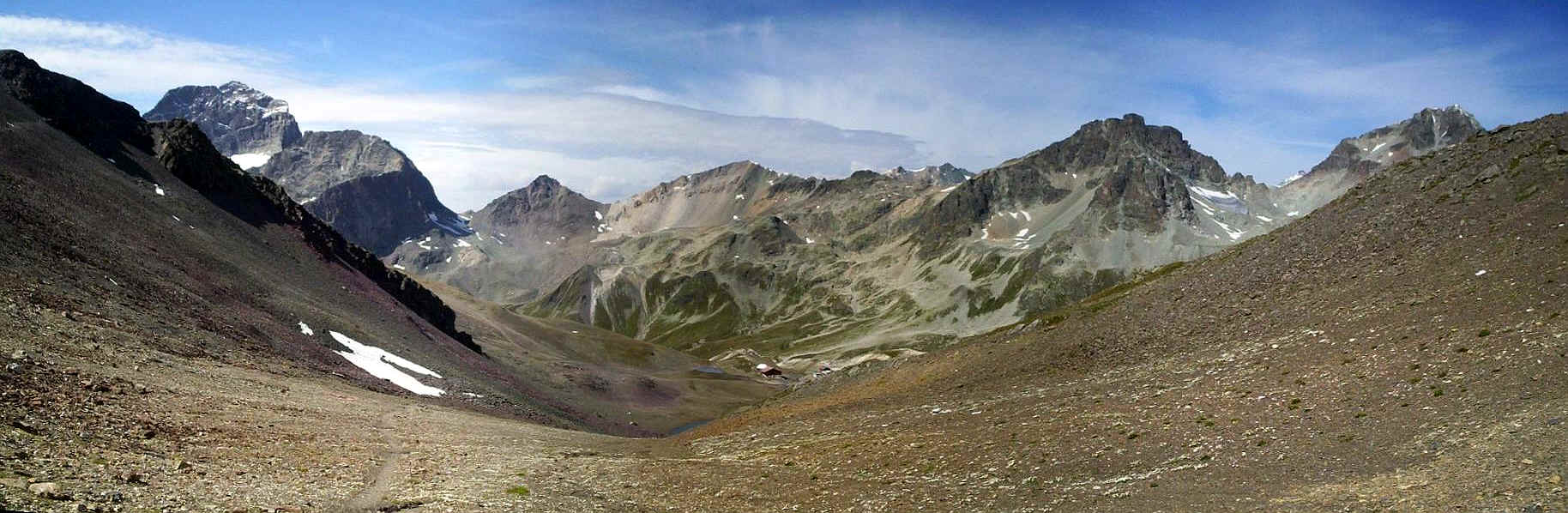
......whilst a glance back gives this panorama acros the valley. Click on the photo for a larger image.
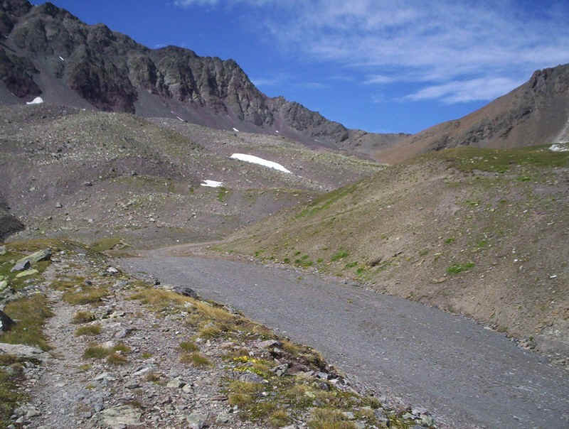
The final approach to the Fuorcla Schlattain, is up this desolate scree slope. Nevertheless, there were still patches of vegetation and wild flowers in places.
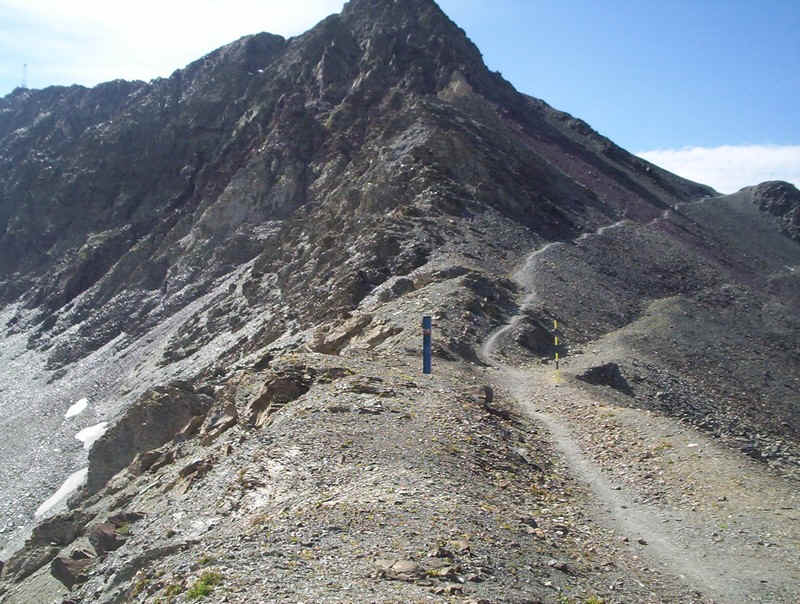
The top of the col is quite narrow; ahead is the path that climbs up to Piz Nair....
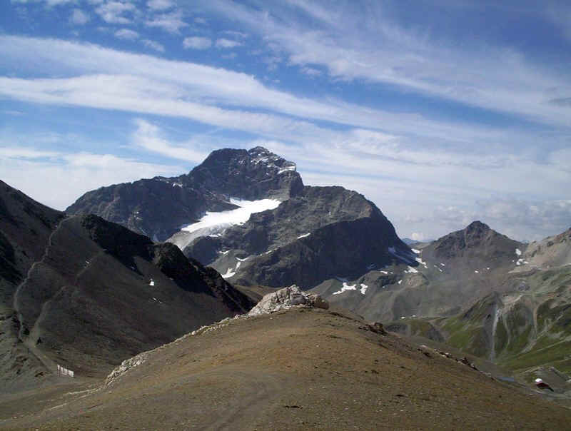
.....but the best views are to the west with Piz Julier, on the left, towering over the Suvretta Pass.
See this page for the route over that pass
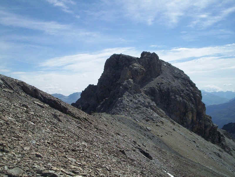
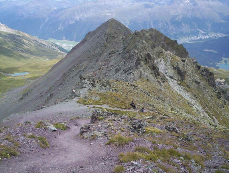
I decided to investigate the possibilities of climbing to the summit of Piz Schlattain, seen on the right. There isn't a path at first, so it's a case of heading gently uphill across the rocky ground.....
.....until this ski lift comes into view and a vehicle track appears. By now I was wondering how on earth I could reach the summit ; I'd read the description in the Rother Wanderfurer which didn't seem to think it was too difficult. I met an couple in their late sixties, who I'd seen coming down off the peak.
When I asked, "Ist der Weg schwierig?" ("Is the path difficult?"), I was given a detailed description. "Go up the ridge - there's a track through the stones, then cut across the top of the scree under the rock wall and then it's easy to get to the top. It's not dangerous."
I wasn't so sure!
So I decided to have a closer look. A track led towards the "Grat" or ridge but I could see that by the rock wall it looked very exposed and definitely a bit hairy. Being on my own I decided that discretion was called for and I decided to give this summit a miss!
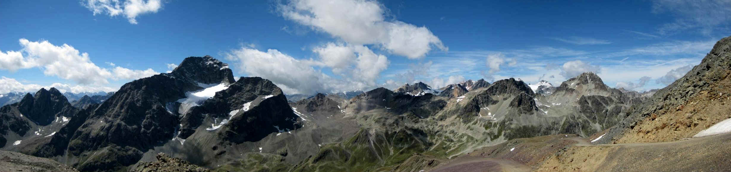
Nevertheless the detour was worthwhile for the views as the two panoramic photos above and below show.
The one above, shows the cliffs of Piz Nair which are far more dramatic from this side compared to that seen from the cable car on the St Moritz side. Below is.....
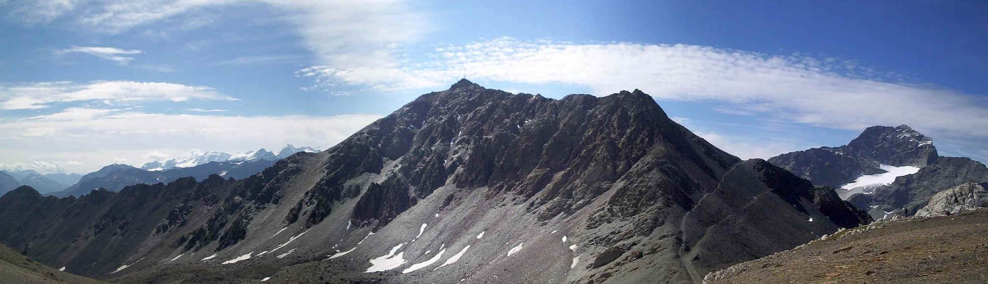
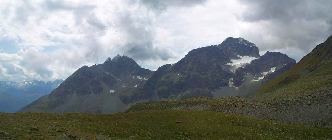
.....Piz Sclattain and, in the distance, the Bernina peaks dominate the view.
Heading back down to Fuorcla Schlattain, the glacier high up in the corrie below Piz Julier can be seen.
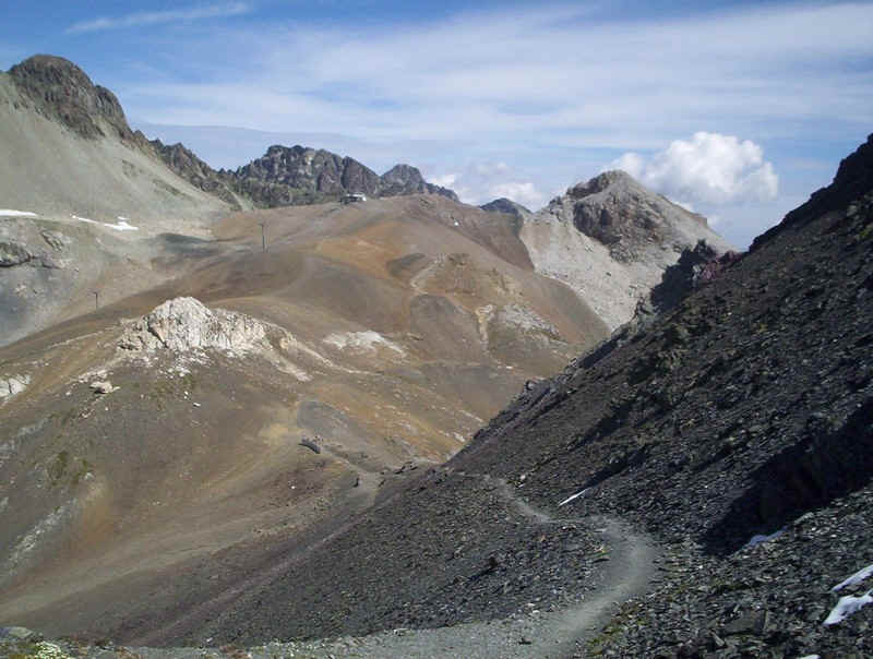
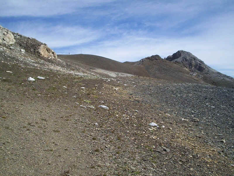
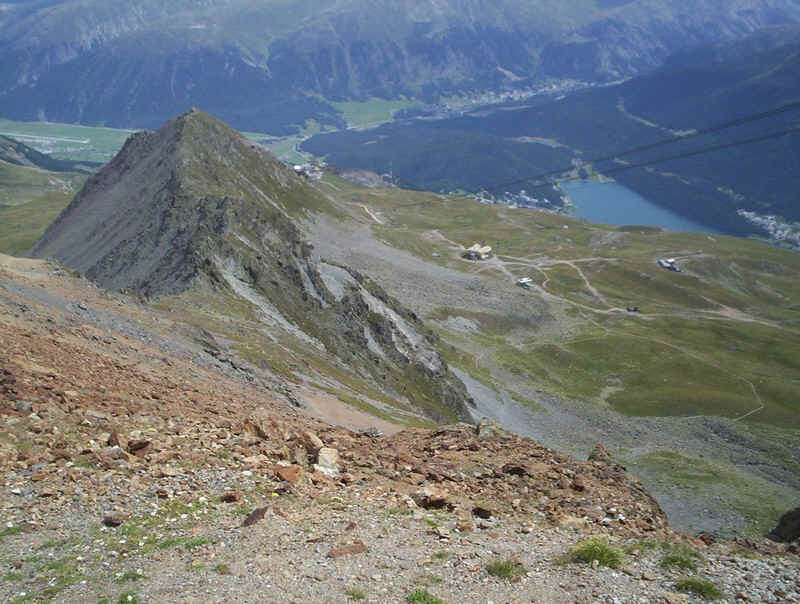
Beyond the fuorcla, the path to Piz Nair climbs across the scree. This is the view looking back.
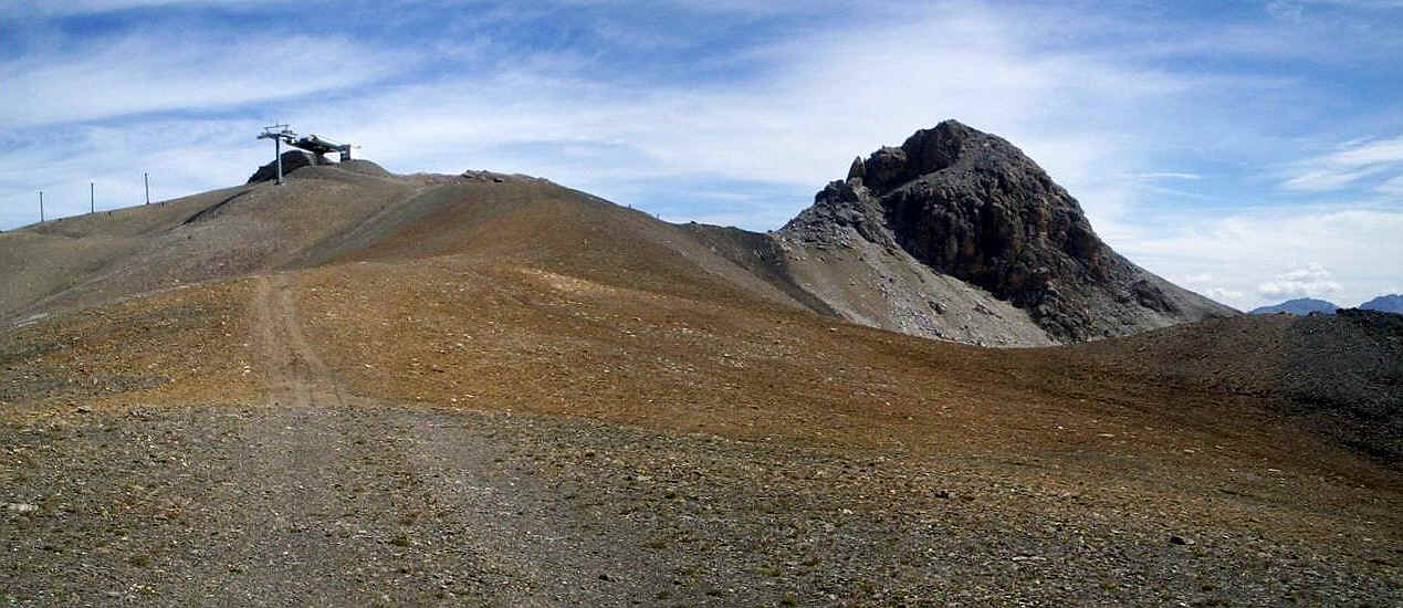
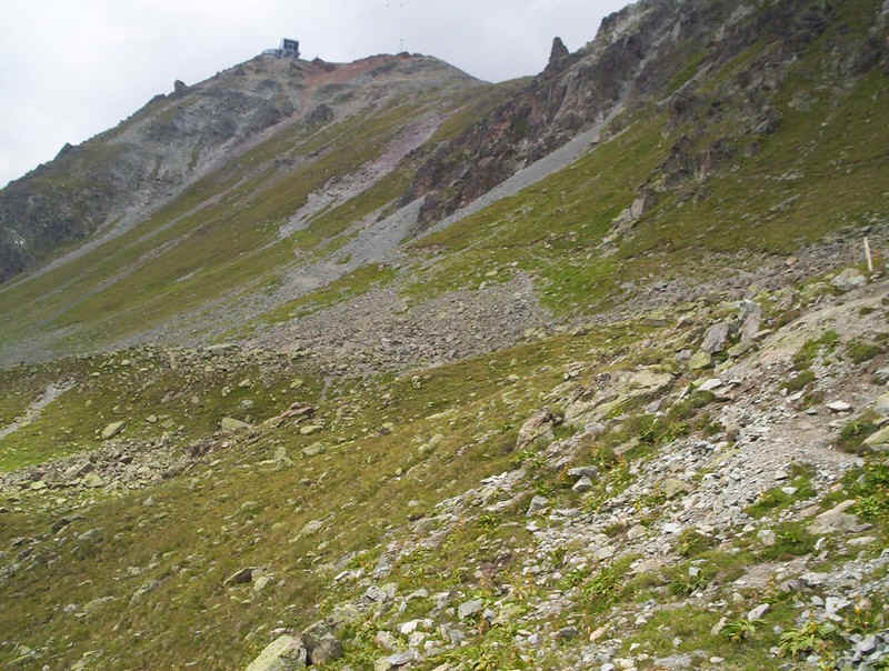
The final pull up to the summit of Piz Nair is along these tracks, carved into the mountain by the ski industry - hideous but it's the price to be paid for visiting these mountains by cable car.
This is the view looking down the path from Piz Nair to Pass Suvretta.
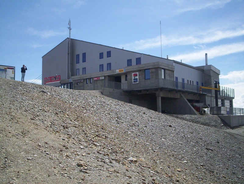
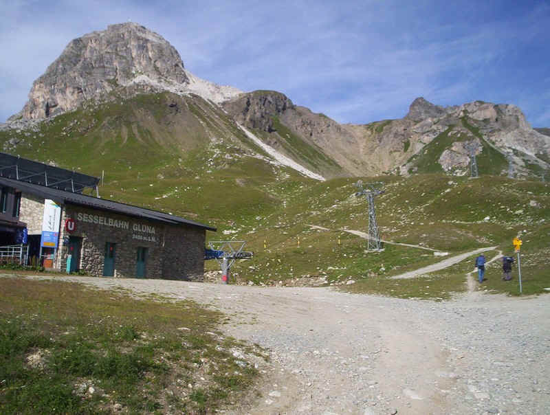
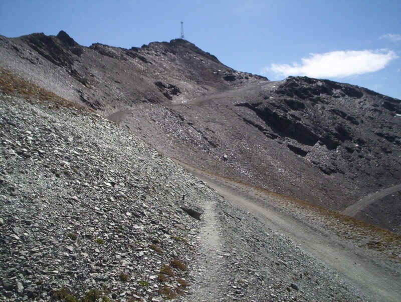
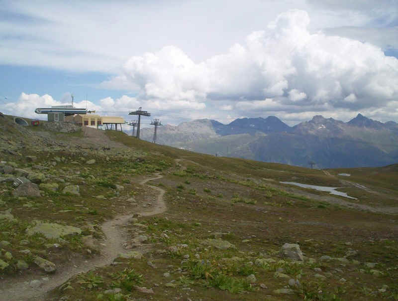
The cable car station on Piz Nair.....
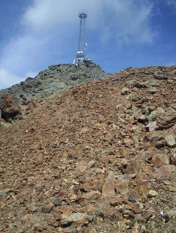
......and the communications tower on the true summit. Now, of course, I was delighted to have mobile phone reception throughout all my walks so, once again, we have to put up with the disfigurement this causes.
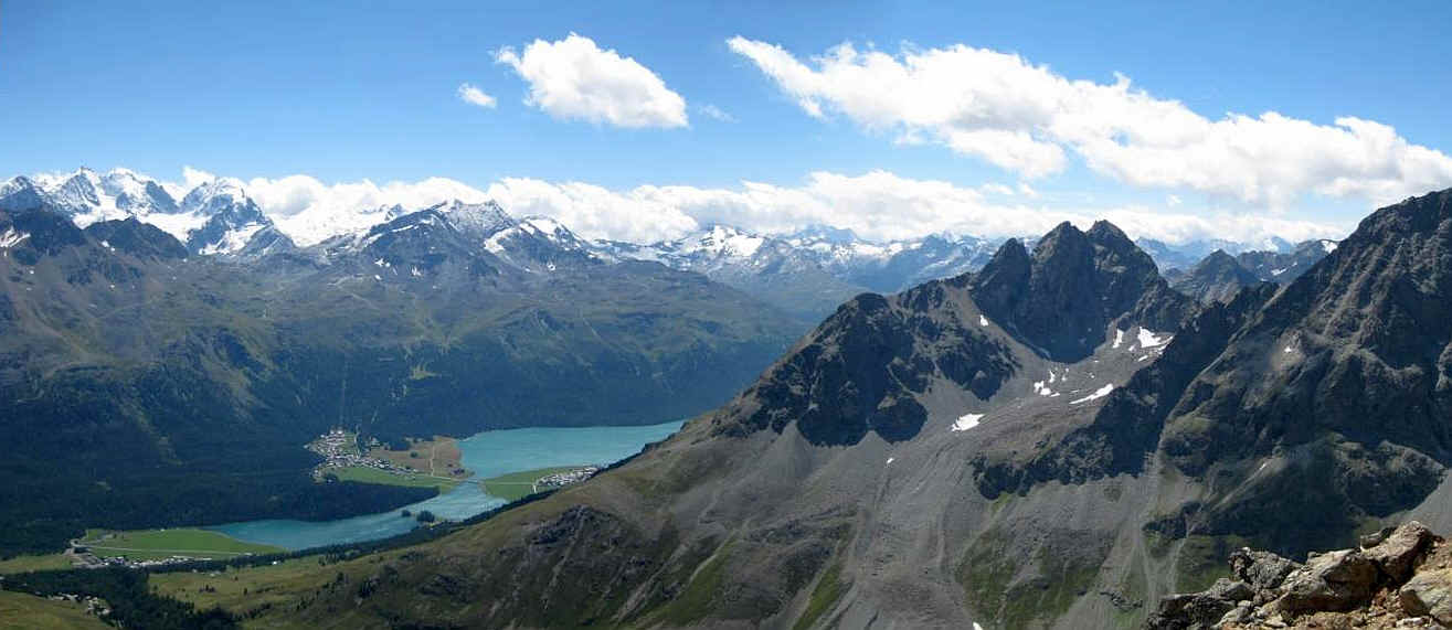
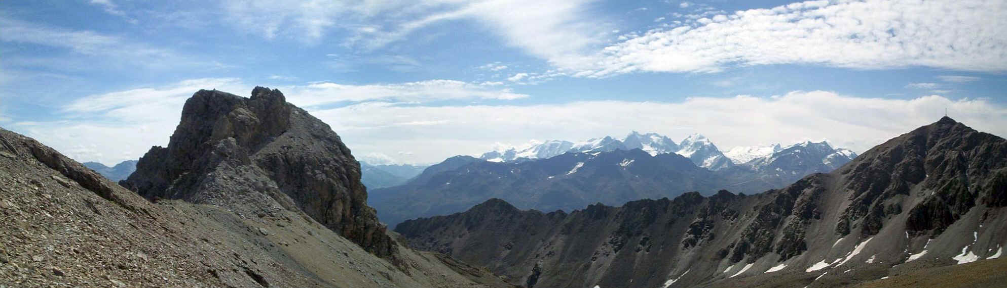
Yet another stunning panorama - looking across to the lakes near Silvaplana, with Piz Bernina on the left of the photo.
Looking across to Piz Julier. On a clear day the Matterhorn is supposed to be visible just to the right of it.
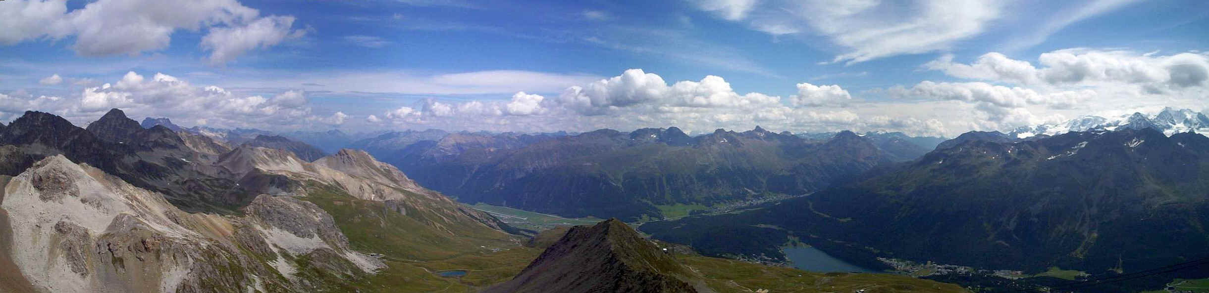
In the opposite direction, the lake at St Moritz and the mountains behind Pontresina can be seen, together with the snow clad peaks in the Bernina range.
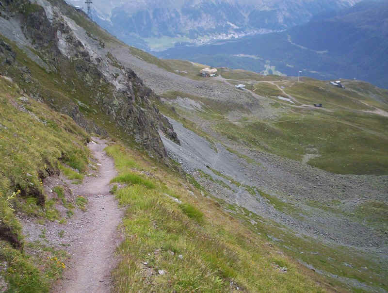
I'd decided to walk down the mountain to Corviglia. It was steep,....
.....and the nature of the surface, often made up of tiny pieces of gravel, frequently gave the feeling that I'd slip if I wasn't careful.
The path heads down the ridge until it reaches this rocky section, where it turns right and....
......drops down below the cliffs.
Looking back uphill to the summit. My GPS tracking device stopped functioning properly on this section, presumably because the steep mountain sides stopped it receiving sufficient satellite coverage.
A final panorama look back as the weather begins to change of the summits of Piz Albana, on the left and Piz Julier, to the right. Click on the photo for a larger image.
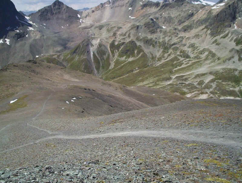
Once down off the steep section, it was simply a case of walking down the easily graded paths....
.......across the ski slopes...
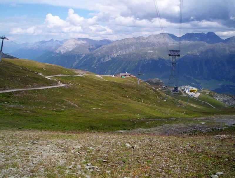
.....to reach the Corviglia funicular and cable car station. As I had the Engadin Wanderpass, which gives unlimited access to all public transport in the area, I decided to take a trip back up to the summit on the cable car. I think this is the first time I've climbed a mountain and then, immediately, re-visited the summit!
It was a superb walk in dramatic scenery even if spoilt somewhat by the "rebuilding of the mountain".
The walk had taken about five hours, including the diversion, and several extended drinks and food breaks.